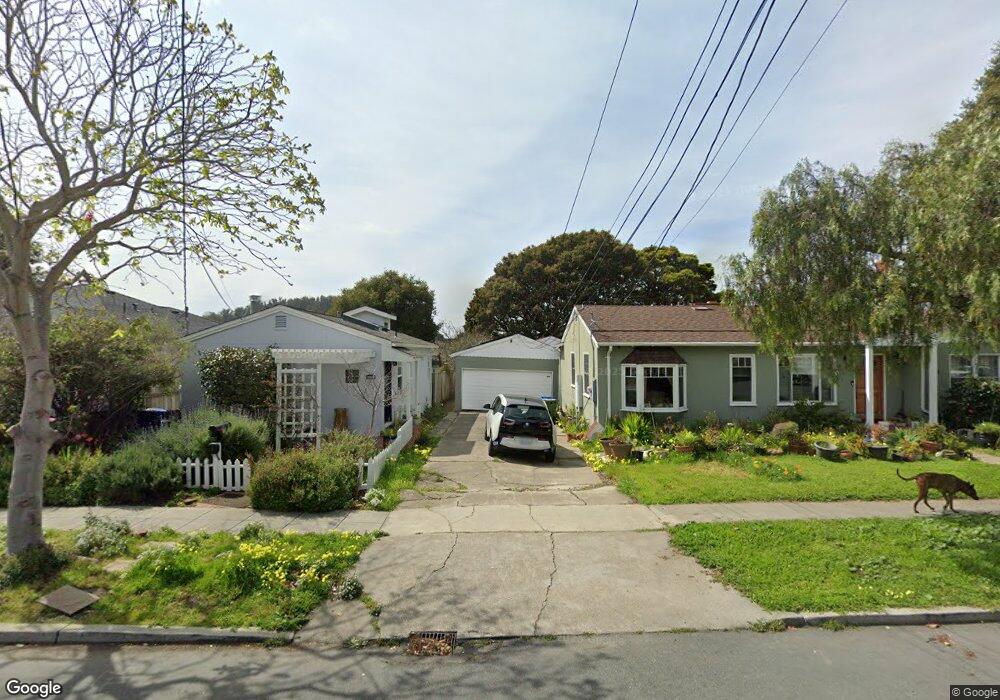
309 Behrens St El Cerrito, CA 94530
Estimated Value: $1,156,000 - $1,525,000
3
Beds
2
Baths
1,932
Sq Ft
$694/Sq Ft
Est. Value
About This Home
This home is located at 309 Behrens St, El Cerrito, CA 94530 and is currently estimated at $1,341,479, approximately $694 per square foot. 309 Behrens St is a home located in Contra Costa County with nearby schools including Harding Elementary School, Fred T. Korematsu Middle School, and El Cerrito Senior High School.
Ownership History
Date
Name
Owned For
Owner Type
Purchase Details
Closed on
Jun 16, 2025
Sold by
Kaye Fredric and Aranda Elena
Bought by
Kaye Fredric and Aranda Elena
Current Estimated Value
Purchase Details
Closed on
May 11, 1994
Sold by
Nikkah Manou Nick
Bought by
Kaye Fredric and Aranda Elena
Home Financials for this Owner
Home Financials are based on the most recent Mortgage that was taken out on this home.
Original Mortgage
$240,900
Interest Rate
8.52%
Mortgage Type
Purchase Money Mortgage
Create a Home Valuation Report for This Property
The Home Valuation Report is an in-depth analysis detailing your home's value as well as a comparison with similar homes in the area
Home Values in the Area
Average Home Value in this Area
Purchase History
| Date | Buyer | Sale Price | Title Company |
|---|---|---|---|
| Kaye Fredric | -- | None Listed On Document | |
| Kaye-Aranda Family Trust | -- | None Listed On Document | |
| Kaye Fredric | $268,000 | American Title Insurance Co |
Source: Public Records
Mortgage History
| Date | Status | Borrower | Loan Amount |
|---|---|---|---|
| Previous Owner | Kaye Fredric | $240,900 |
Source: Public Records
Tax History
| Year | Tax Paid | Tax Assessment Tax Assessment Total Assessment is a certain percentage of the fair market value that is determined by local assessors to be the total taxable value of land and additions on the property. | Land | Improvement |
|---|---|---|---|---|
| 2025 | $8,462 | $550,192 | $375,282 | $174,910 |
| 2024 | $8,114 | $539,405 | $367,924 | $171,481 |
| 2023 | $8,114 | $528,829 | $360,710 | $168,119 |
| 2022 | $8,004 | $518,461 | $353,638 | $164,823 |
| 2021 | $7,979 | $508,296 | $346,704 | $161,592 |
| 2019 | $7,520 | $493,221 | $336,421 | $156,800 |
| 2018 | $7,274 | $483,551 | $329,825 | $153,726 |
| 2017 | $7,164 | $474,070 | $323,358 | $150,712 |
| 2016 | $6,904 | $446,775 | $317,018 | $129,757 |
| 2015 | $6,473 | $408,997 | $312,257 | $96,740 |
| 2014 | $5,952 | $371,574 | $306,141 | $65,433 |
Source: Public Records
Map
Nearby Homes
- 305 Coronado St
- 443 Albemarle St
- 7316 Rockway Ave
- 535 Norvell St
- 535 Ashbury Ave
- 417 Evelyn Ave Unit 205
- 145 Ramona Ave
- 532 Lexington Ave
- 10046 San Pablo Ave
- 6016 Avila St
- 1259 Portland Ave
- 6130 Van Fleet Ave
- 415 Berkeley Park Blvd
- 605 San Pablo Ave
- 1236 Portland Ave
- 5814 El Dorado St
- 7347 Terrace Dr
- 1266 Washington Ave
- 5600 El Dorado St
- 535 Pierce St Unit 5109
- 305 Behrens St
- 315 Behrens St
- 301 Behrens St
- 312 Victoria St
- 317 Behrens St
- 316 Victoria St
- 308 Victoria St
- 257 Behrens St
- 321 Behrens St
- 320 Victoria St
- 304 Victoria St
- 324 Victoria St Unit 324
- 306 Behrens St
- 310 Behrens St
- 300 Victoria St
- 325 Behrens St
- 302 Behrens St
- 255 Behrens St
- 314 Behrens St
- 328 Victoria St
Your Personal Tour Guide
Ask me questions while you tour the home.