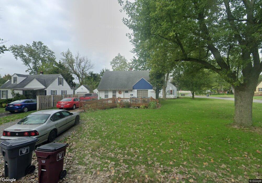
309 Columbia Dr Lima, OH 45805
Westgate NeighborhoodEstimated Value: $129,447 - $156,000
3
Beds
1
Bath
1,096
Sq Ft
$126/Sq Ft
Est. Value
About This Home
This home is located at 309 Columbia Dr, Lima, OH 45805 and is currently estimated at $138,112, approximately $126 per square foot. 309 Columbia Dr is a home located in Allen County with nearby schools including Heritage Elementary School, Lima West Middle School, and Lima North Middle School.
Ownership History
Date
Name
Owned For
Owner Type
Purchase Details
Closed on
Dec 10, 2021
Bought by
Michael E Conley and Lynda Conley
Current Estimated Value
Purchase Details
Closed on
Dec 9, 2021
Sold by
Conley Michael E and Conley Lynda
Bought by
Conley Michael E and Conley Lynda
Purchase Details
Closed on
Dec 19, 1984
Bought by
Conley Michael E and Conley Lynda
Create a Home Valuation Report for This Property
The Home Valuation Report is an in-depth analysis detailing your home's value as well as a comparison with similar homes in the area
Home Values in the Area
Average Home Value in this Area
Purchase History
| Date | Buyer | Sale Price | Title Company |
|---|---|---|---|
| Michael E Conley | -- | -- | |
| Conley Michael E | -- | None Available | |
| Conley Michael E | -- | -- |
Source: Public Records
Tax History
| Year | Tax Paid | Tax Assessment Tax Assessment Total Assessment is a certain percentage of the fair market value that is determined by local assessors to be the total taxable value of land and additions on the property. | Land | Improvement |
|---|---|---|---|---|
| 2024 | $1,208 | $33,220 | $7,880 | $25,340 |
| 2023 | $986 | $23,210 | $5,500 | $17,710 |
| 2022 | $990 | $23,210 | $5,500 | $17,710 |
| 2021 | $1,047 | $23,210 | $5,500 | $17,710 |
| 2020 | $998 | $19,570 | $5,290 | $14,280 |
| 2019 | $998 | $19,570 | $5,290 | $14,280 |
| 2018 | $983 | $19,570 | $5,290 | $14,280 |
| 2017 | $908 | $17,610 | $5,290 | $12,320 |
| 2016 | $915 | $17,610 | $5,290 | $12,320 |
| 2015 | $1,008 | $17,610 | $5,290 | $12,320 |
| 2014 | $1,008 | $19,330 | $5,220 | $14,110 |
| 2013 | $981 | $19,330 | $5,220 | $14,110 |
Source: Public Records
Map
Nearby Homes
- 275 N Dale Dr
- 2201 W High St
- 2057 W High St
- 1918 Oakland Pkwy
- 161 S Cable Rd
- 514 N Cable Rd
- 1716 Oakland Pkwy
- 1810 Rice Ave
- 1753 Leland Ave
- 1607 W Wayne St
- 2700 Lowell Ave
- 1880 Wendell Ave
- 1541 Oakland Pkwy
- 858 Mackenzie Dr
- 2802 Lowell Ave
- 1600 Leland Ave
- 1508 Oakland Pkwy
- 1517 Allentown Rd
- 308 S Judkins Ave
- 1323 W Elm St