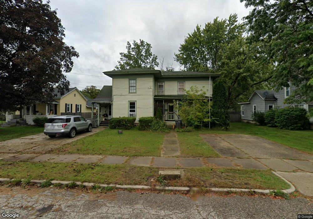
309 High St Lowell, MI 49331
Estimated Value: $217,000 - $295,451
4
Beds
3
Baths
2,249
Sq Ft
$119/Sq Ft
Est. Value
About This Home
This home is located at 309 High St, Lowell, MI 49331 and is currently estimated at $267,363, approximately $118 per square foot. 309 High St is a home located in Kent County with nearby schools including Bushnell Elementary School, Cherry Creek Elementary School, and Lowell Middle School.
Ownership History
Date
Name
Owned For
Owner Type
Purchase Details
Closed on
Nov 19, 2015
Sold by
Williams Leonard Mark
Bought by
Dulin Shawn Michael
Current Estimated Value
Purchase Details
Closed on
Apr 25, 2011
Sold by
Dave A Clark & Betty Lou Clark Trust
Bought by
Williams Leonard
Purchase Details
Closed on
Feb 9, 2011
Sold by
Curtis Richard R
Bought by
Clark Dave A and Clark Betty Lou
Purchase Details
Closed on
Apr 8, 2005
Sold by
Clark Dave A and Clark Betty Lou
Bought by
Curtis Richard R and Curtis Carrie A
Create a Home Valuation Report for This Property
The Home Valuation Report is an in-depth analysis detailing your home's value as well as a comparison with similar homes in the area
Home Values in the Area
Average Home Value in this Area
Purchase History
| Date | Buyer | Sale Price | Title Company |
|---|---|---|---|
| Dulin Shawn Michael | -- | None Available | |
| Williams Leonard | $57,000 | None Available | |
| Clark Dave A | -- | None Available | |
| Curtis Richard R | -- | -- |
Source: Public Records
Tax History Compared to Growth
Tax History
| Year | Tax Paid | Tax Assessment Tax Assessment Total Assessment is a certain percentage of the fair market value that is determined by local assessors to be the total taxable value of land and additions on the property. | Land | Improvement |
|---|---|---|---|---|
| 2025 | $2,716 | $125,600 | $0 | $0 |
| 2024 | $2,716 | $114,400 | $0 | $0 |
| 2023 | $3,235 | $100,700 | $0 | $0 |
| 2022 | $3,098 | $81,500 | $0 | $0 |
| 2021 | $3,017 | $75,600 | $0 | $0 |
| 2020 | $2,367 | $66,900 | $0 | $0 |
| 2019 | $2,946 | $61,100 | $0 | $0 |
| 2018 | $2,883 | $54,900 | $0 | $0 |
| 2017 | $2,814 | $56,800 | $0 | $0 |
| 2016 | $2,929 | $55,500 | $0 | $0 |
| 2015 | -- | $55,500 | $0 | $0 |
| 2013 | -- | $39,500 | $0 | $0 |
Source: Public Records
Map
Nearby Homes
- 220 King St Unit 10
- 220 King St Unit 6
- 414 N Jefferson St
- 216 W Main St Unit 6
- 325 S Division St
- 521 Spring St
- 913 N Monroe St
- 926 N Washington St
- 1080 N Washington St SE
- 1060 N Washington St
- 1212 Highland Hill Unit 30
- 1352 Highland Hill
- 610 Birchwood Ct SE
- 780 Bowes Rd
- Cedarwood Plan at Flat River Estates
- Sycamore Plan at Flat River Estates
- Elmwood Plan at Flat River Estates
- Chestnut Plan at Flat River Estates
- Redwood Plan at Flat River Estates
- Whitby Plan at Flat River Estates
- 305 High St
- 309 High St SE
- 311 High St SE
- 317 High St
- 319 N Monroe St
- 314 N Washington St
- 318 King St
- 329 N Monroe St
- 310 King St
- 219 High St SE
- 219 High St SE Unit 3
- 322 N Washington St
- 220 King St Unit 15
- 220 King St Unit 10
- 220 King St Unit 11
- 220 King St Unit 13
- 220 King St Unit 13
- 238 High St
- 303 Avery St
- 320 King St