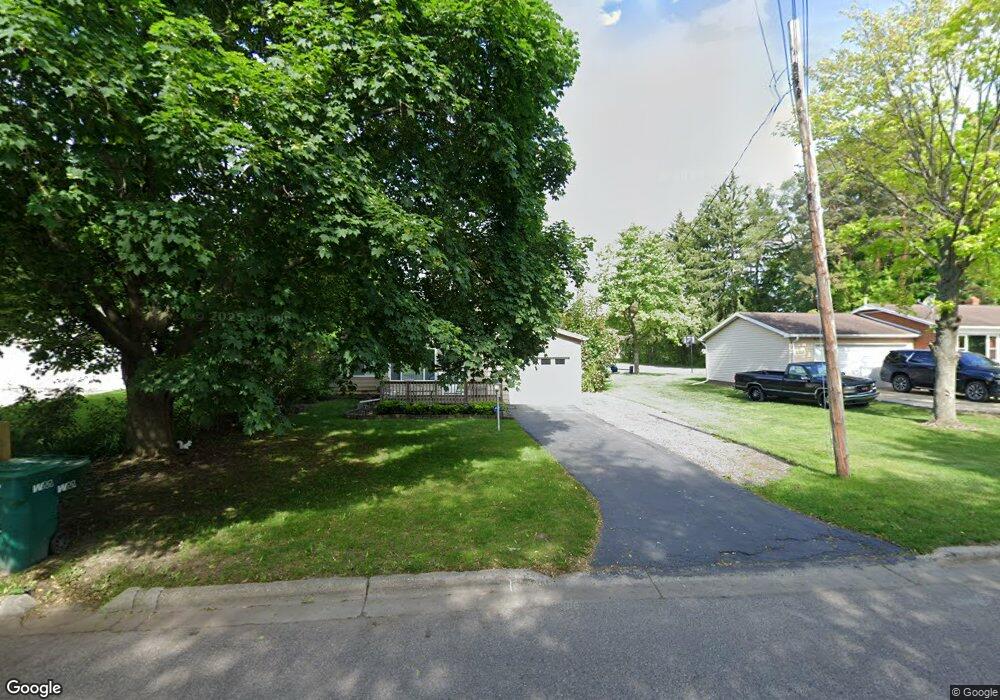
309 Leland St Flushing, MI 48433
Estimated Value: $136,000 - $165,000
2
Beds
1
Bath
984
Sq Ft
$152/Sq Ft
Est. Value
About This Home
This home is located at 309 Leland St, Flushing, MI 48433 and is currently estimated at $149,848, approximately $152 per square foot. 309 Leland St is a home located in Genesee County with nearby schools including Central Elementary School, Flushing Middle School, and Flushing High School.
Ownership History
Date
Name
Owned For
Owner Type
Purchase Details
Closed on
Jun 3, 2024
Sold by
Joncas Noel
Bought by
Joncas Noel and Joncas Christian
Current Estimated Value
Purchase Details
Closed on
Jun 25, 2012
Sold by
Joncas Christian
Bought by
Joncas Noel
Purchase Details
Closed on
Jul 19, 2004
Sold by
Joncas Laurier and Joncas Deborah
Bought by
Joncas Noel and Joncas Christian
Purchase Details
Closed on
Mar 30, 2000
Sold by
Joncas Juliett
Bought by
Joncas Laurier and Joncas Deborah
Purchase Details
Closed on
Jan 1, 2000
Sold by
Huffman Richard P and Huffman Judy C
Bought by
Joncas Hector and Joncas Juliett
Create a Home Valuation Report for This Property
The Home Valuation Report is an in-depth analysis detailing your home's value as well as a comparison with similar homes in the area
Home Values in the Area
Average Home Value in this Area
Purchase History
| Date | Buyer | Sale Price | Title Company |
|---|---|---|---|
| Joncas Noel | -- | None Listed On Document | |
| Joncas Noel | -- | None Available | |
| Joncas Noel | -- | -- | |
| Joncas Laurier | -- | -- | |
| Joncas Hector | $64,000 | Sargents Title Company |
Source: Public Records
Tax History Compared to Growth
Tax History
| Year | Tax Paid | Tax Assessment Tax Assessment Total Assessment is a certain percentage of the fair market value that is determined by local assessors to be the total taxable value of land and additions on the property. | Land | Improvement |
|---|---|---|---|---|
| 2025 | $1,756 | $57,400 | $0 | $0 |
| 2024 | $1,450 | $52,700 | $0 | $0 |
| 2023 | $1,401 | $48,600 | $0 | $0 |
| 2022 | $1,528 | $45,500 | $0 | $0 |
| 2021 | $1,528 | $41,500 | $0 | $0 |
| 2020 | $1,234 | $34,900 | $0 | $0 |
| 2019 | $1,210 | $32,600 | $0 | $0 |
| 2018 | $1,399 | $31,200 | $0 | $0 |
| 2017 | $1,317 | $30,700 | $0 | $0 |
| 2016 | $1,307 | $27,021 | $0 | $0 |
| 2015 | $1,370 | $0 | $0 | $0 |
| 2012 | -- | $26,100 | $26,100 | $0 |
Source: Public Records
Map
Nearby Homes
- 120 Boman St
- 507 Dale St
- 0 Double Tree Estates
- 515 Chestnut St
- 210 N Hazelton St
- 544 Warren Ave
- 410 E Main St
- 401 E Main St
- 1252 Beatrice St
- Lot 1 across from 74 E River Rd
- 6106 E River Rd
- 5016 Deland Rd
- 605 Hut-West Dr
- 113 N Mckinley Rd
- 1216 Pleasantview Dr
- 0 Crooked Limb Ct
- 433 Crestview St
- 6289 W River Rd
- 0 E River Rd Unit 50180952
- 7505 Falling Leaf Ct
- 305 Leland St
- 313 Leland St
- 765 Chamberlain St
- 761 Chamberlain St
- 802 Thomas St
- 310 Leland St
- 807 Chamberlain St
- 315 Leland St
- 806 Thomas St
- 330 Wilcox St
- 803 Thomas St
- 811 E Main St
- 323 Leland St
- 334 Wilcox St
- 334 Wilcox St
- 805 Thomas St
- 773 E Main St
- 728 Coutant St
- 810 Thomas St
- 750 Chamberlain St