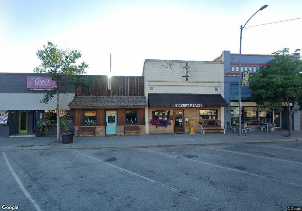
309 Main St Stevensville, MT 59870
Stevensville NeighborhoodEstimated Value: $264,272
--
Bed
--
Bath
1,178
Sq Ft
$224/Sq Ft
Est. Value
About This Home
This home is located at 309 Main St, Stevensville, MT 59870 and is currently estimated at $264,272, approximately $224 per square foot. 309 Main St is a home located in Ravalli County with nearby schools including Stevensville Elementary School, Stevensville Junior High School, and Stevensville High School.
Ownership History
Date
Name
Owned For
Owner Type
Purchase Details
Closed on
Mar 14, 2014
Sold by
Mccarty & Kirby Family Trust
Bought by
Jodsaas Robert Joe and Jodsaas Joyceanne R
Current Estimated Value
Home Financials for this Owner
Home Financials are based on the most recent Mortgage that was taken out on this home.
Original Mortgage
$91,000
Interest Rate
4.3%
Mortgage Type
New Conventional
Purchase Details
Closed on
Jan 3, 1997
Bought by
Jodsaas Robert Joe and Jodsaas Joyceanne R
Create a Home Valuation Report for This Property
The Home Valuation Report is an in-depth analysis detailing your home's value as well as a comparison with similar homes in the area
Home Values in the Area
Average Home Value in this Area
Purchase History
| Date | Buyer | Sale Price | Title Company |
|---|---|---|---|
| Jodsaas Robert Joe | $113,750 | -- | |
| Jodsaas Robert Joe | -- | -- |
Source: Public Records
Mortgage History
| Date | Status | Borrower | Loan Amount |
|---|---|---|---|
| Previous Owner | Jodsaas Robert Joe | $91,000 | |
| Closed | Jodsaas Robert Joe | $91,000 |
Source: Public Records
Tax History Compared to Growth
Tax History
| Year | Tax Paid | Tax Assessment Tax Assessment Total Assessment is a certain percentage of the fair market value that is determined by local assessors to be the total taxable value of land and additions on the property. | Land | Improvement |
|---|---|---|---|---|
| 2025 | $1,468 | $230,900 | $0 | $0 |
| 2024 | $1,545 | $181,400 | $0 | $0 |
| 2023 | $1,550 | $181,400 | $0 | $0 |
| 2022 | $1,425 | $132,537 | $0 | $0 |
| 2021 | $1,548 | $132,537 | $0 | $0 |
| 2020 | $1,613 | $132,821 | $0 | $0 |
| 2019 | $1,589 | $132,821 | $0 | $0 |
| 2018 | $1,334 | $114,895 | $0 | $0 |
| 2017 | $1,272 | $114,895 | $0 | $0 |
| 2016 | $1,312 | $113,544 | $0 | $0 |
| 2015 | $1,318 | $113,544 | $0 | $0 |
| 2014 | $1,492 | $107,599 | $0 | $0 |
Source: Public Records
Map
Nearby Homes
- 408 Buck St
- 404 Pine St
- Lot 5 Bessie Ln
- 413 5th St
- 262 Barbara St
- 252 Barbara St
- 308 8th St
- 304 10th St
- 819 E 2nd St
- 1100 College St
- 325 Valley View St
- 623 Park St Unit 3
- 306 Valley View St
- 3808 Eastside Hwy
- NHN Mystic River Rd
- 3806 Eastside Hwy
- 211 Middle Burnt Fork Rd
- 101 Binks Way Unit 19
- 3707 Eastside Hwy
- 26 Success Ct
- 311/313/31 Main St
- 311 Main St
- 311 Main St
- 317 Main St
- 301 Main St
- NHN Creekside Dr
- Tract A4 Totem Rd
- NHN Red Fox
- NHN Mountain Springs Rd
- nhn Echo Ridge
- NHN Rome Ln
- NHN St Mary''S Rd
- NHN Saint Mary Dr
- NHN Airport Road Tract 1 & 2 & 4
- NHN Airport Road Tract 1 & 2 & 4 &
- NHN Airport Road Tract 1 & 2
- NHN Airport Road Tract 5
- NHN Airport Road Tract 4
- NHN Airport Road Tract 1
- NHN Wildwood