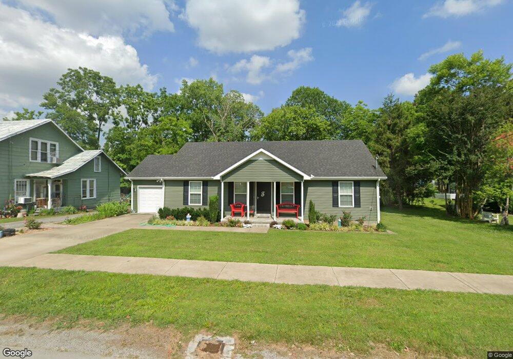
309 S Woodland St Manchester, TN 37355
Estimated Value: $242,265 - $273,000
--
Bed
2
Baths
1,472
Sq Ft
$178/Sq Ft
Est. Value
About This Home
This home is located at 309 S Woodland St, Manchester, TN 37355 and is currently estimated at $261,566, approximately $177 per square foot. 309 S Woodland St is a home located in Coffee County with nearby schools including Westwood Middle School and Temple Baptist Christian School.
Ownership History
Date
Name
Owned For
Owner Type
Purchase Details
Closed on
Jun 6, 2016
Sold by
Mcafee Philip B
Bought by
Todd Mary Ruth
Current Estimated Value
Home Financials for this Owner
Home Financials are based on the most recent Mortgage that was taken out on this home.
Original Mortgage
$122,856
Outstanding Balance
$97,907
Interest Rate
3.61%
Mortgage Type
New Conventional
Estimated Equity
$163,659
Purchase Details
Closed on
Jul 2, 2015
Sold by
Gordon Sandra M
Bought by
Mcafee Philip B
Purchase Details
Closed on
Jul 30, 1996
Sold by
Gordon Sandra M
Bought by
Gordon Sandra M
Create a Home Valuation Report for This Property
The Home Valuation Report is an in-depth analysis detailing your home's value as well as a comparison with similar homes in the area
Home Values in the Area
Average Home Value in this Area
Purchase History
| Date | Buyer | Sale Price | Title Company |
|---|---|---|---|
| Todd Mary Ruth | $119,000 | -- | |
| Mcafee Philip B | $15,000 | -- | |
| Gordon Sandra M | -- | -- | |
| Gordon Sandra M | -- | -- |
Source: Public Records
Mortgage History
| Date | Status | Borrower | Loan Amount |
|---|---|---|---|
| Open | Todd Mary Ruth | $122,856 |
Source: Public Records
Tax History Compared to Growth
Tax History
| Year | Tax Paid | Tax Assessment Tax Assessment Total Assessment is a certain percentage of the fair market value that is determined by local assessors to be the total taxable value of land and additions on the property. | Land | Improvement |
|---|---|---|---|---|
| 2024 | $1,954 | $46,350 | $2,500 | $43,850 |
| 2023 | $1,954 | $46,350 | $0 | $0 |
| 2022 | $1,682 | $46,350 | $2,500 | $43,850 |
| 2021 | $1,628 | $35,550 | $2,500 | $33,050 |
| 2020 | $1,628 | $35,550 | $2,500 | $33,050 |
| 2019 | $1,628 | $35,550 | $2,500 | $33,050 |
| 2018 | $1,628 | $35,550 | $2,500 | $33,050 |
| 2017 | $1,565 | $29,825 | $2,500 | $27,325 |
| 2016 | $967 | $29,825 | $2,500 | $27,325 |
| 2015 | $131 | $2,500 | $2,500 | $0 |
| 2014 | $678 | $12,928 | $0 | $0 |
Source: Public Records
Map
Nearby Homes
- 313 S Woodland St
- 307 S Woodland St
- 314 S Woodland St
- 306 S Woodland St
- 306 S Woodland St Unit B
- 306 S Woodland St Unit 306 B
- 306 S Woodland St Unit A
- 308 S Woodland St
- 114 E Moore St
- 302 S Woodland St
- 105 E Moore St
- 209 E Moore St
- 110 Hillsboro Blvd
- 103 E Moore St
- 305 305 Spring St
- 305 Spring St
- 314 May St
- 107 Hillsboro Blvd
- 315 S Spring St
- 103 Hillsboro Blvd