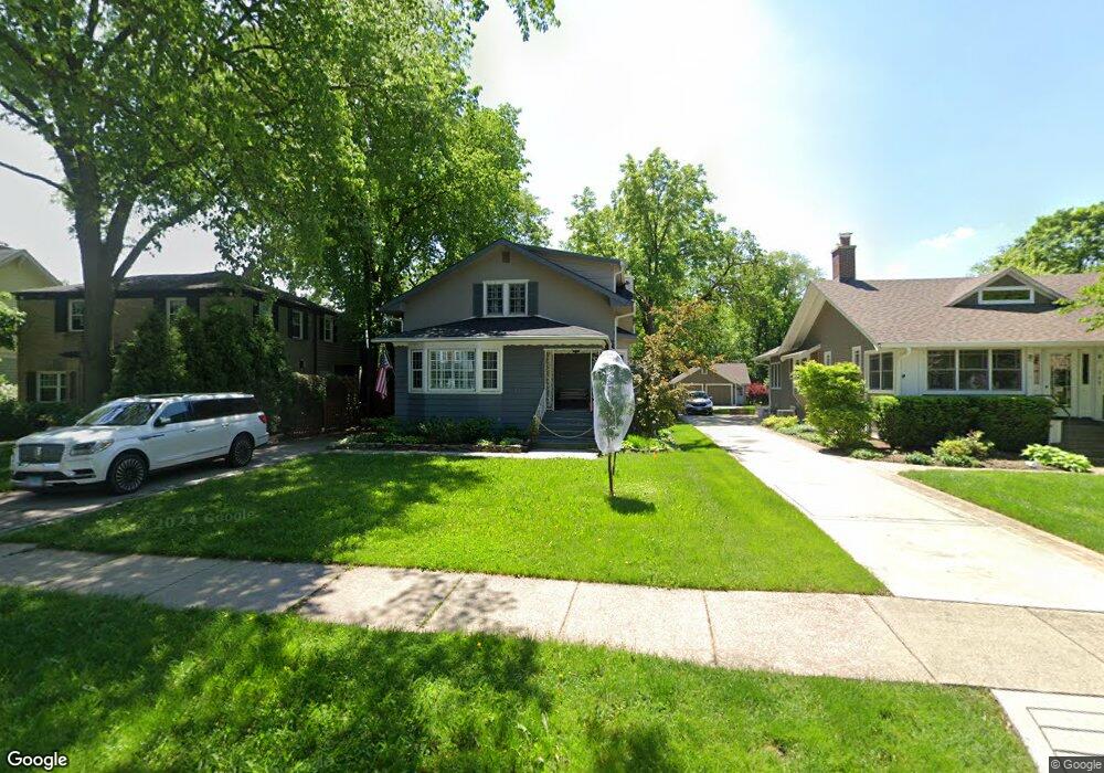
309 Shenstone Rd Riverside, IL 60546
Estimated Value: $400,000 - $777,000
3
Beds
2
Baths
1,047
Sq Ft
$500/Sq Ft
Est. Value
About This Home
This home is located at 309 Shenstone Rd, Riverside, IL 60546 and is currently estimated at $523,597, approximately $500 per square foot. 309 Shenstone Rd is a home located in Cook County with nearby schools including Central Elementary School, L J Hauser Jr High School, and Riverside Brookfield High School.
Ownership History
Date
Name
Owned For
Owner Type
Purchase Details
Closed on
Oct 23, 2009
Sold by
Us Bank Na
Bought by
Hall Henry R and Hall Andrea B
Current Estimated Value
Home Financials for this Owner
Home Financials are based on the most recent Mortgage that was taken out on this home.
Original Mortgage
$220,000
Outstanding Balance
$142,119
Interest Rate
5.11%
Mortgage Type
New Conventional
Estimated Equity
$381,478
Purchase Details
Closed on
May 25, 1994
Sold by
First Colonial Trust Company
Bought by
Nielsen Maxine
Create a Home Valuation Report for This Property
The Home Valuation Report is an in-depth analysis detailing your home's value as well as a comparison with similar homes in the area
Home Values in the Area
Average Home Value in this Area
Purchase History
| Date | Buyer | Sale Price | Title Company |
|---|---|---|---|
| Hall Henry R | $287,500 | Cti | |
| Nielsen Maxine | -- | -- |
Source: Public Records
Mortgage History
| Date | Status | Borrower | Loan Amount |
|---|---|---|---|
| Open | Hall Henry R | $220,000 |
Source: Public Records
Tax History
| Year | Tax Paid | Tax Assessment Tax Assessment Total Assessment is a certain percentage of the fair market value that is determined by local assessors to be the total taxable value of land and additions on the property. | Land | Improvement |
|---|---|---|---|---|
| 2025 | $9,496 | $28,776 | $9,591 | $19,185 |
| 2024 | $9,496 | $28,776 | $9,591 | $19,185 |
| 2023 | $10,244 | $33,000 | $9,591 | $23,409 |
| 2022 | $10,244 | $30,167 | $8,392 | $21,775 |
| 2021 | $9,877 | $30,166 | $8,392 | $21,774 |
| 2020 | $9,634 | $30,166 | $8,392 | $21,774 |
| 2019 | $7,100 | $23,602 | $7,672 | $15,930 |
| 2018 | $6,889 | $23,602 | $7,672 | $15,930 |
| 2017 | $6,686 | $23,602 | $7,672 | $15,930 |
| 2016 | $6,798 | $21,802 | $6,713 | $15,089 |
| 2015 | $6,600 | $21,802 | $6,713 | $15,089 |
| 2014 | $6,505 | $21,802 | $6,713 | $15,089 |
| 2013 | $6,618 | $23,842 | $6,713 | $17,129 |
Source: Public Records
Map
Nearby Homes
- 269 Shenstone Rd
- 369 Addison Rd
- 475 Shenstone Rd Unit 104
- 475 Shenstone Rd Unit 304
- 475 Shenstone Rd Unit 303
- 484 Shenstone Rd
- 231 Bartram Rd
- 280 Blackhawk Rd
- 10 E Burlington St Unit 2C
- 10 E Burlington St Unit 2B
- 7048 35th St
- 176 Riverside Rd
- 3111 Wenonah Ave
- 262 Lionel Rd
- 303 Lionel Rd
- 315 Bartram Rd
- 101 Southcote Rd
- 562 Byrd Rd
- 305 Desplaines Ave
- 78 Pine Ave
- 305 Shenstone Rd
- 311 Shenstone Rd
- 301 Shenstone Rd
- 317 Shenstone Rd
- 321 Shenstone Rd
- 297 Shenstone Rd
- 288 Addison Rd
- 325 Shenstone Rd
- 292 Addison Rd
- 293 Shenstone Rd
- 276 Addison Rd
- 310 Shenstone Rd
- 296 Addison Rd
- 316 Shenstone Rd
- 306 Shenstone Rd
- 272 Addison Rd
- 300 Addison Rd
- 298 Shenstone Rd
- 329 Shenstone Rd
- 289 Shenstone Rd
Your Personal Tour Guide
Ask me questions while you tour the home.