309 Upper Stump Rd Chalfont, PA 18914
Estimated Value: $824,000 - $2,102,000
3
Beds
2
Baths
2,611
Sq Ft
$477/Sq Ft
Est. Value
About This Home
This home is located at 309 Upper Stump Rd, Chalfont, PA 18914 and is currently estimated at $1,245,165, approximately $476 per square foot. 309 Upper Stump Rd is a home located in Bucks County with nearby schools including Pine Run Elementary School, Tohickon Middle School, and Central Bucks High School-West.
Ownership History
Date
Name
Owned For
Owner Type
Purchase Details
Closed on
Apr 8, 2016
Sold by
Taylor John D and Taylor Stephanie M
Bought by
Taylor John D
Current Estimated Value
Purchase Details
Closed on
Dec 29, 2009
Sold by
Terra Vista Llc
Bought by
Antonucci John
Purchase Details
Closed on
Jan 31, 2005
Sold by
Garges Howard Dan and Garges James R
Bought by
Taylor John D and Taylor Stephanie M
Home Financials for this Owner
Home Financials are based on the most recent Mortgage that was taken out on this home.
Original Mortgage
$160,000
Interest Rate
5.83%
Mortgage Type
Fannie Mae Freddie Mac
Purchase Details
Closed on
Jun 8, 2002
Sold by
Garges Matilda H
Bought by
Garbro Llc
Purchase Details
Closed on
Jan 16, 2002
Sold by
Garges Matilda H
Bought by
Garges Matilda H
Create a Home Valuation Report for This Property
The Home Valuation Report is an in-depth analysis detailing your home's value as well as a comparison with similar homes in the area
Home Values in the Area
Average Home Value in this Area
Purchase History
| Date | Buyer | Sale Price | Title Company |
|---|---|---|---|
| Taylor John D | -- | Attorney | |
| Antonucci John | -- | None Available | |
| Taylor John D | $862,500 | -- | |
| Garbro Llc | $156,341 | -- | |
| Garges Matilda H | -- | -- |
Source: Public Records
Mortgage History
| Date | Status | Borrower | Loan Amount |
|---|---|---|---|
| Previous Owner | Taylor John D | $160,000 |
Source: Public Records
Tax History Compared to Growth
Tax History
| Year | Tax Paid | Tax Assessment Tax Assessment Total Assessment is a certain percentage of the fair market value that is determined by local assessors to be the total taxable value of land and additions on the property. | Land | Improvement |
|---|---|---|---|---|
| 2025 | $10,991 | $63,420 | $2,080 | $61,340 |
| 2024 | $10,991 | $63,420 | $2,080 | $61,340 |
| 2023 | $10,641 | $63,420 | $2,080 | $61,340 |
| 2022 | $10,431 | $63,420 | $2,080 | $61,340 |
| 2021 | $10,313 | $83,940 | $22,600 | $61,340 |
| 2020 | $10,313 | $83,940 | $22,600 | $61,340 |
| 2019 | $10,186 | $83,940 | $22,600 | $61,340 |
| 2018 | $10,186 | $83,940 | $22,600 | $61,340 |
| 2017 | $10,107 | $83,940 | $22,600 | $61,340 |
| 2016 | $10,107 | $83,940 | $22,600 | $61,340 |
| 2015 | -- | $83,940 | $22,600 | $61,340 |
| 2014 | -- | $83,940 | $22,600 | $61,340 |
Source: Public Records
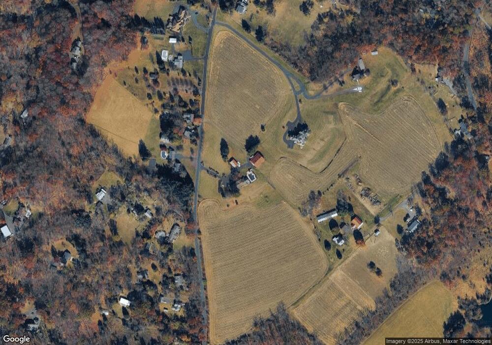
Map
Nearby Homes
- 84 Curley Mill Rd
- 1528 Hilltown Pike
- 744 Broad St
- 1161 Upper Stump Rd
- 315 Old Limekiln Lot 3 Rd
- 10 Hellberg Ave
- 425 Elm Cir
- 1075 Patrick Place Unit 75
- 1212 Revere Dr
- 245 Coventry Rd
- 172 Chestnut St
- 218 Keeley Ave
- 165 Township Line Rd
- 105 Barry Rd
- 60 Becker Dr Unit 27
- 62 Becker Dr Unit 28
- 58 Becker Dr Unit 26
- 64 Becker Dr Unit 29
- 79 Becker Dr
- 34 Warren Dr Unit 16
- 312 Upper Stump Rd
- 242 Upper Stump Rd
- 274 Callowhill Rd
- 302 Upper Stump Rd
- 234 Upper Stump Rd
- 228 Upper Stump Rd
- 226 Upper Stump Rd
- 402 Upper Stump Rd
- 322 Upper Stump Rd
- 304 Upper Stump Rd
- 220 Upper Stump Rd
- 415 Upper Stump Rd
- 216 Upper Stump Rd
- 405 Upper Stump Rd
- 408 Upper Stump Rd
- 272 Callowhill Rd
- 230 Upper Church Rd
- 635 Skunk Hollow Rd
- 412 Upper Stump Rd
- 429 Upper Stump Rd