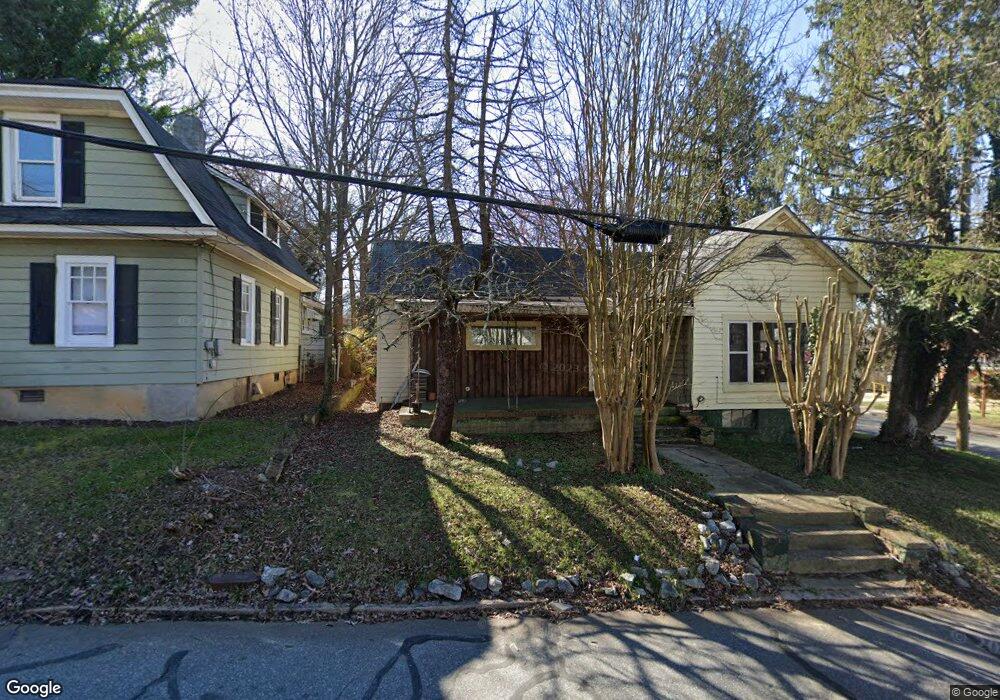
309 Vail Ave High Point, NC 27260
Greater High Point NeighborhoodEstimated Value: $145,000 - $239,000
3
Beds
1
Bath
2,532
Sq Ft
$74/Sq Ft
Est. Value
About This Home
This home is located at 309 Vail Ave, High Point, NC 27260 and is currently estimated at $186,519, approximately $73 per square foot. 309 Vail Ave is a home located in Guilford County with nearby schools including Fairview Elementary School, Ferndale Middle School, and High Point Central High School.
Ownership History
Date
Name
Owned For
Owner Type
Purchase Details
Closed on
Aug 11, 1999
Sold by
Paquette Russell and Paquette Bernadine
Bought by
Anderson Lila
Current Estimated Value
Purchase Details
Closed on
Jul 29, 1999
Sold by
Brown Tyler Edison and Brown Rosa
Bought by
Anderson Lila
Purchase Details
Closed on
May 4, 1999
Sold by
Gripper Shannon
Bought by
Anderson Lila
Purchase Details
Closed on
May 2, 1999
Sold by
Collins Barbara G
Bought by
Anderson Lila
Purchase Details
Closed on
Apr 20, 1999
Sold by
Smith Sareba G and Smith Harold F
Bought by
Anderson Lila
Purchase Details
Closed on
Feb 27, 1998
Sold by
Anderson Lila
Bought by
Gripper James K and Gripper Janet L
Purchase Details
Closed on
Jan 6, 1998
Sold by
Brown Rebecca G
Bought by
Anderson Lila
Purchase Details
Closed on
Aug 12, 1997
Sold by
Gripper James K and Gripper Janet H
Bought by
Anderson Lila
Create a Home Valuation Report for This Property
The Home Valuation Report is an in-depth analysis detailing your home's value as well as a comparison with similar homes in the area
Home Values in the Area
Average Home Value in this Area
Purchase History
| Date | Buyer | Sale Price | Title Company |
|---|---|---|---|
| Anderson Lila | -- | -- | |
| Anderson Lila | -- | -- | |
| Anderson Lila | -- | -- | |
| Anderson Lila | -- | -- | |
| Anderson Lila | -- | -- | |
| Gripper James K | -- | -- | |
| Anderson Lila | -- | -- | |
| Anderson Lila | -- | -- |
Source: Public Records
Tax History
| Year | Tax Paid | Tax Assessment Tax Assessment Total Assessment is a certain percentage of the fair market value that is determined by local assessors to be the total taxable value of land and additions on the property. | Land | Improvement |
|---|---|---|---|---|
| 2025 | $721 | $104,700 | $12,000 | $92,700 |
| 2024 | $721 | $104,700 | $12,000 | $92,700 |
| 2023 | $721 | $104,700 | $12,000 | $92,700 |
| 2022 | $706 | $104,700 | $12,000 | $92,700 |
| 2021 | $535 | $77,700 | $8,500 | $69,200 |
| 2020 | $535 | $77,700 | $8,500 | $69,200 |
| 2019 | $535 | $77,700 | $0 | $0 |
| 2018 | $533 | $77,700 | $0 | $0 |
| 2017 | $533 | $77,700 | $0 | $0 |
| 2016 | $534 | $76,100 | $0 | $0 |
| 2015 | $537 | $76,100 | $0 | $0 |
| 2014 | $546 | $76,100 | $0 | $0 |
Source: Public Records
Map
Nearby Homes
- 616 S Elm St
- 405 W Willis Ave
- 407 W Willis Ave
- 703 Langford Ave
- 308 W Kearns Ave
- 527 Amos St
- 525 Amos St
- 537 Flint Ave
- 1217 Cloverdale St
- 812 Tryon Ave
- 816 Tryon Ave
- 1213 S Elm St
- 323 Coltrane Ave
- 1410 Cloverdale St
- 328 Ennis St
- 1504 Cloverdale St
- 604 W Ward Ave
- 702 Park St
- 423 Tate St
- 1015 Sharon St
Your Personal Tour Guide
Ask me questions while you tour the home.