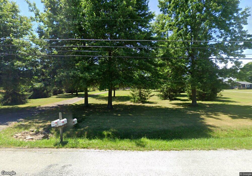
3091 Alliance Rd Rootstown, OH 44272
Estimated Value: $185,000 - $272,228
4
Beds
4
Baths
2,380
Sq Ft
$97/Sq Ft
Est. Value
About This Home
This home is located at 3091 Alliance Rd, Rootstown, OH 44272 and is currently estimated at $230,807, approximately $96 per square foot. 3091 Alliance Rd is a home located in Portage County with nearby schools including Southeast High School.
Ownership History
Date
Name
Owned For
Owner Type
Purchase Details
Closed on
Mar 30, 2022
Sold by
Wbt Rentals Llc
Bought by
Miller Jarad Ryan
Current Estimated Value
Home Financials for this Owner
Home Financials are based on the most recent Mortgage that was taken out on this home.
Original Mortgage
$113,750
Outstanding Balance
$105,705
Interest Rate
3.92%
Mortgage Type
New Conventional
Estimated Equity
$125,102
Purchase Details
Closed on
Feb 12, 2020
Sold by
Miller Robert T and Miller Angelia E
Bought by
Wbt Rentals Llc
Purchase Details
Closed on
Sep 1, 2015
Sold by
Schumann David F and Schumann Kathleen
Bought by
Miller Todd and Miller Angie
Purchase Details
Closed on
Dec 27, 1996
Sold by
Austin Ronald R
Bought by
Schumann David F
Purchase Details
Closed on
Jul 19, 1995
Sold by
Trst John J Mendiola
Bought by
Chlebina William
Create a Home Valuation Report for This Property
The Home Valuation Report is an in-depth analysis detailing your home's value as well as a comparison with similar homes in the area
Purchase History
| Date | Buyer | Sale Price | Title Company |
|---|---|---|---|
| Miller Jarad Ryan | -- | None Listed On Document | |
| Wbt Rentals Llc | -- | None Available | |
| Miller Todd | $95,000 | Attorney | |
| Schumann David F | $23,900 | -- | |
| Chlebina William | $60,000 | -- |
Source: Public Records
Mortgage History
| Date | Status | Borrower | Loan Amount |
|---|---|---|---|
| Open | Miller Jarad Ryan | $113,750 |
Source: Public Records
Tax History Compared to Growth
Tax History
| Year | Tax Paid | Tax Assessment Tax Assessment Total Assessment is a certain percentage of the fair market value that is determined by local assessors to be the total taxable value of land and additions on the property. | Land | Improvement |
|---|---|---|---|---|
| 2024 | $2,897 | $78,690 | $14,670 | $64,020 |
| 2023 | $2,170 | $52,640 | $12,670 | $39,970 |
| 2022 | $2,278 | $52,640 | $12,670 | $39,970 |
| 2021 | $2,297 | $52,640 | $12,670 | $39,970 |
| 2020 | $2,077 | $45,680 | $11,520 | $34,160 |
| 2019 | $2,082 | $45,680 | $11,520 | $34,160 |
| 2017 | $1,938 | $40,050 | $11,170 | $28,880 |
| 2016 | $1,932 | $40,050 | $11,170 | $28,880 |
Source: Public Records
Map
Nearby Homes
- 2896 Alliance Rd
- 2880 State Route 14
- 3545 Porter Rd
- 2171 Alliance Rd
- 2434 Taft Ave
- 7392 Tallmadge Rd
- 3207 Prairie Cir
- 6747 Giddings Rd
- 3609 State Route 225
- 3798 State Route 183
- 9408 Tallmadge Rd
- 0 Ohio 225 Unit 5174573
- 4133 State Route 225
- 00 Ohio 14
- 1731 Ohio 225
- 0 McClintocksburg Rd Unit 5176449
- 3875 McClintocksburg Rd
- 9865 Tallmadge Rd
- 700 Stillwater Dr
- 0 John Thomas
- 3107 Alliance Rd
- 3036 Alliance Rd
- 3041 Alliance Rd
- 3037 Alliance Rd
- 3003 Alliance Rd
- 3130 Alliance Rd
- 2985 Alliance Rd
- V/L Alliance Rd
- 3140 Alliance Rd
- 3177 Alliance Rd
- 3064 Alliance Rd
- 2961 Alliance Rd
- 3205 Alliance Rd
- 3221 Alliance Rd
- 2947 Alliance Rd
- 2933 Alliance Rd
- 3016 Ohio 14
- 3222 Alliance Rd
- v/l Alliance Rd
- 2903 Alliance Rd
