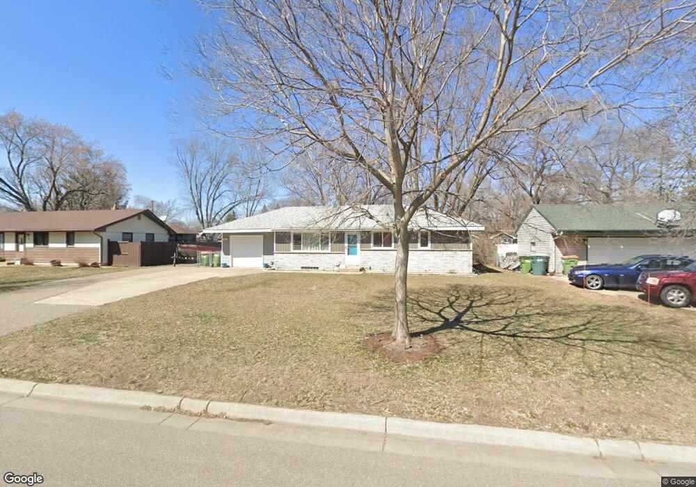
31 102nd Ave NW Coon Rapids, MN 55448
Estimated Value: $291,000 - $312,285
3
Beds
2
Baths
984
Sq Ft
$306/Sq Ft
Est. Value
About This Home
This home is located at 31 102nd Ave NW, Coon Rapids, MN 55448 and is currently estimated at $301,571, approximately $306 per square foot. 31 102nd Ave NW is a home located in Anoka County with nearby schools including Lucile Bruner Elementary School, University Elementary School, and Laughlin Junior/Senior High School.
Ownership History
Date
Name
Owned For
Owner Type
Purchase Details
Closed on
Jun 29, 2017
Sold by
Melham Timothy W and Melham Judith M
Bought by
Melham Shannon M
Current Estimated Value
Home Financials for this Owner
Home Financials are based on the most recent Mortgage that was taken out on this home.
Original Mortgage
$177,918
Interest Rate
3.89%
Mortgage Type
FHA
Create a Home Valuation Report for This Property
The Home Valuation Report is an in-depth analysis detailing your home's value as well as a comparison with similar homes in the area
Home Values in the Area
Average Home Value in this Area
Purchase History
| Date | Buyer | Sale Price | Title Company |
|---|---|---|---|
| Melham Shannon M | $181,200 | Edina Realty Title Inc |
Source: Public Records
Mortgage History
| Date | Status | Borrower | Loan Amount |
|---|---|---|---|
| Previous Owner | Melham Shannon M | $177,918 |
Source: Public Records
Tax History Compared to Growth
Tax History
| Year | Tax Paid | Tax Assessment Tax Assessment Total Assessment is a certain percentage of the fair market value that is determined by local assessors to be the total taxable value of land and additions on the property. | Land | Improvement |
|---|---|---|---|---|
| 2025 | $2,733 | $275,700 | $90,000 | $185,700 |
| 2024 | $2,733 | $269,300 | $86,000 | $183,300 |
| 2023 | $2,492 | $264,000 | $79,000 | $185,000 |
| 2022 | $2,363 | $261,000 | $65,000 | $196,000 |
| 2021 | $2,240 | $222,600 | $69,000 | $153,600 |
| 2020 | $2,223 | $207,700 | $65,000 | $142,700 |
| 2019 | $2,068 | $198,600 | $61,000 | $137,600 |
| 2018 | $1,876 | $181,400 | $0 | $0 |
| 2017 | $1,537 | $162,300 | $0 | $0 |
| 2016 | $1,552 | $134,600 | $0 | $0 |
| 2015 | -- | $134,600 | $46,000 | $88,600 |
| 2014 | -- | $115,300 | $36,900 | $78,400 |
Source: Public Records
Map
Nearby Homes
- 150 104th Ln NW
- 228 104th Ln NW
- 10419 Goldenrod St NW
- 9830 6th St NE
- 10200 Pleasure Creek Pkwy W
- 10011 Pleasure Creek Cir NE
- 10248 Washington Ct NE
- 122 106th Ave NW
- 9872 7th St NE
- 9896 Clover Leaf Pkwy NE
- 361 Territorial Rd NE
- 484 98th Ln NE
- 103 96th Ln NE Unit 103
- 111 96th Ln NE
- 424 106th Ave NW
- 10647 Washington Blvd NE
- 10252 Jackson St NE
- 413 Territorial Rd NE
- 583 97th Ln NE
- 9706 Foley Blvd NW
- 41 102nd Ave NW
- 23 102nd Ave NW
- 28 102nd Ln NW
- 38 102nd Ln NW
- 38 102nd Ave NW
- 53 102nd Ave NW
- 15 102nd Ave NW
- 28 102nd Ave NW
- 48 102nd Ave NW
- 46 102nd Ln NW
- 18 102nd Ave NW
- 20 102nd Ln NW
- 61 102nd Ave NW
- 7 102nd Ave NW
- 58 102nd Ave NW
- 10 102nd Ln NW
- 52 102nd Ln NW
- 8 102nd Ave NW
- 29 101st Ln NW
- 39 101st Ln NW