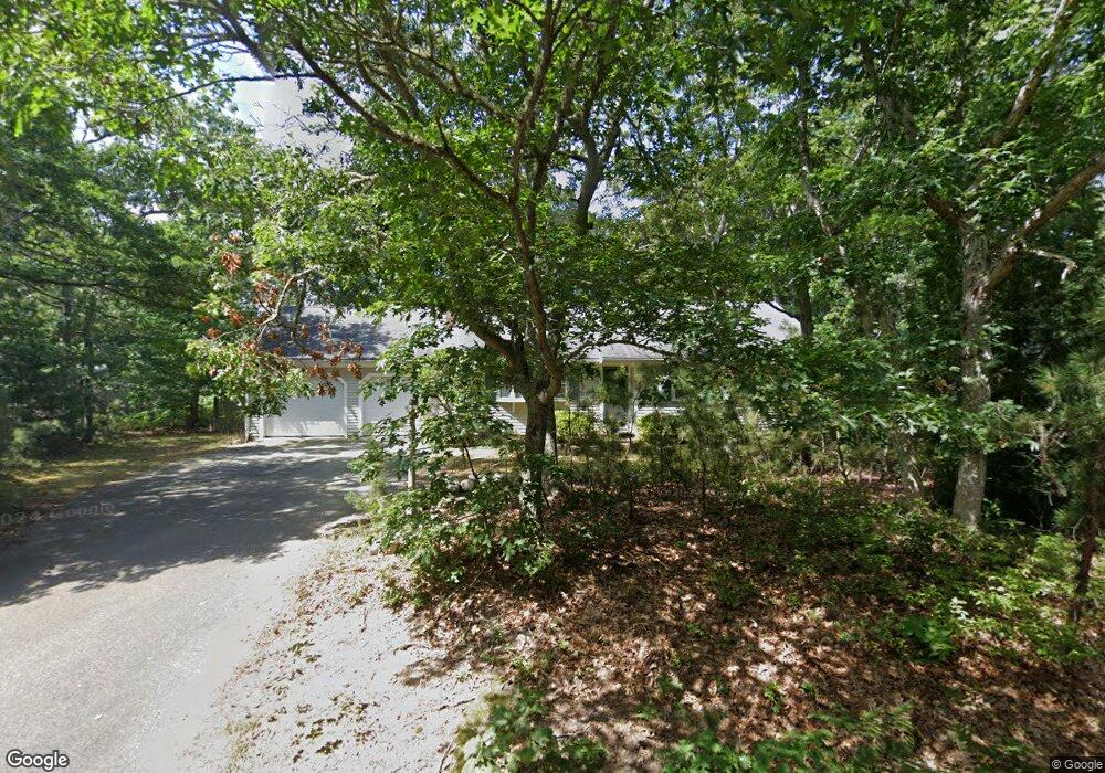
31 Anne Way Brewster, MA 02631
Estimated Value: $677,000 - $867,000
3
Beds
3
Baths
2,000
Sq Ft
$381/Sq Ft
Est. Value
About This Home
This home is located at 31 Anne Way, Brewster, MA 02631 and is currently estimated at $761,682, approximately $380 per square foot. 31 Anne Way is a home located in Barnstable County with nearby schools including Stony Brook Elementary School, Eddy Elementary School, and Nauset Regional Middle School.
Ownership History
Date
Name
Owned For
Owner Type
Purchase Details
Closed on
May 20, 2005
Sold by
Mcandrews Linda and Mcandrews Peter P
Bought by
Sanders Marilyn
Current Estimated Value
Purchase Details
Closed on
Mar 24, 2000
Sold by
Felice Anthony
Bought by
Mcandrews Peter and Mcandrews Linda J
Home Financials for this Owner
Home Financials are based on the most recent Mortgage that was taken out on this home.
Original Mortgage
$168,300
Interest Rate
8.31%
Mortgage Type
Purchase Money Mortgage
Create a Home Valuation Report for This Property
The Home Valuation Report is an in-depth analysis detailing your home's value as well as a comparison with similar homes in the area
Home Values in the Area
Average Home Value in this Area
Purchase History
| Date | Buyer | Sale Price | Title Company |
|---|---|---|---|
| Sanders Marilyn | $410,000 | -- | |
| Mcandrews Peter | $187,000 | -- |
Source: Public Records
Mortgage History
| Date | Status | Borrower | Loan Amount |
|---|---|---|---|
| Previous Owner | Mcandrews Peter | $168,300 |
Source: Public Records
Tax History
| Year | Tax Paid | Tax Assessment Tax Assessment Total Assessment is a certain percentage of the fair market value that is determined by local assessors to be the total taxable value of land and additions on the property. | Land | Improvement |
|---|---|---|---|---|
| 2025 | $5,137 | $746,600 | $259,700 | $486,900 |
| 2024 | $4,946 | $726,300 | $266,300 | $460,000 |
| 2023 | $4,580 | $655,200 | $237,700 | $417,500 |
| 2022 | $4,302 | $548,000 | $198,100 | $349,900 |
| 2021 | $4,137 | $482,200 | $172,200 | $310,000 |
| 2020 | $3,914 | $454,100 | $158,400 | $295,700 |
| 2019 | $36 | $434,700 | $145,700 | $289,000 |
| 2018 | $3,386 | $409,900 | $145,700 | $264,200 |
| 2017 | $36 | $378,900 | $145,700 | $233,200 |
| 2016 | $3,026 | $358,900 | $129,900 | $229,000 |
| 2015 | $2,922 | $353,800 | $127,300 | $226,500 |
Source: Public Records
Map
Nearby Homes
Your Personal Tour Guide
Ask me questions while you tour the home.