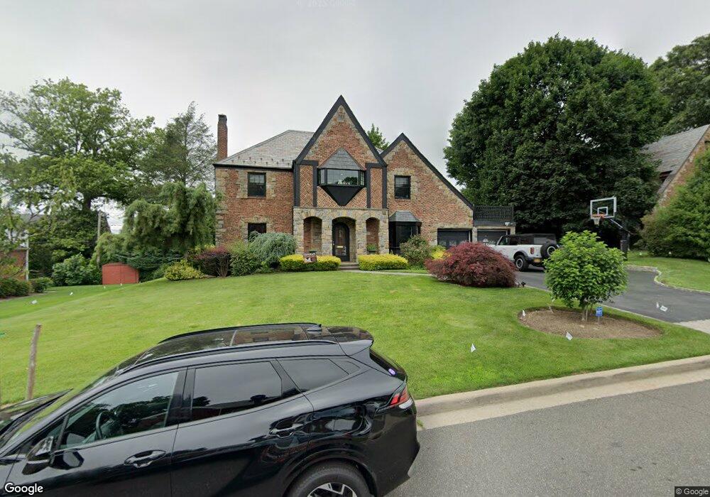
31 Blenheim Dr Manhasset, NY 11030
Estimated Value: $2,458,814 - $2,573,000
4
Beds
4
Baths
3,157
Sq Ft
$797/Sq Ft
Est. Value
About This Home
This home is located at 31 Blenheim Dr, Manhasset, NY 11030 and is currently estimated at $2,515,907, approximately $796 per square foot. 31 Blenheim Dr is a home located in Nassau County with nearby schools including Manhasset Secondary School, St Mary's Elementary School, and St. Mary's College Preparatory High School.
Ownership History
Date
Name
Owned For
Owner Type
Purchase Details
Closed on
Nov 10, 2014
Sold by
Tellalian Raymond P and Tellalian Betty A
Bought by
Busch David and Busch Lori
Current Estimated Value
Home Financials for this Owner
Home Financials are based on the most recent Mortgage that was taken out on this home.
Original Mortgage
$1,320,000
Outstanding Balance
$1,015,992
Interest Rate
4.13%
Mortgage Type
Purchase Money Mortgage
Estimated Equity
$1,499,915
Purchase Details
Closed on
Jun 5, 2002
Sold by
Tellalian Raymond
Purchase Details
Closed on
Sep 5, 2000
Sold by
Bazarian Edward J
Bought by
Tellalian Raymond P
Create a Home Valuation Report for This Property
The Home Valuation Report is an in-depth analysis detailing your home's value as well as a comparison with similar homes in the area
Home Values in the Area
Average Home Value in this Area
Purchase History
| Date | Buyer | Sale Price | Title Company |
|---|---|---|---|
| Busch David | $1,650,000 | None Available | |
| -- | -- | -- | |
| -- | -- | -- | |
| -- | -- | -- | |
| Tellalian Raymond P | $975,000 | Bruce Ashbuhiaz |
Source: Public Records
Mortgage History
| Date | Status | Borrower | Loan Amount |
|---|---|---|---|
| Open | Busch David | $1,320,000 |
Source: Public Records
Tax History Compared to Growth
Tax History
| Year | Tax Paid | Tax Assessment Tax Assessment Total Assessment is a certain percentage of the fair market value that is determined by local assessors to be the total taxable value of land and additions on the property. | Land | Improvement |
|---|---|---|---|---|
| 2025 | $24,630 | $1,521 | $684 | $837 |
| 2024 | $8,069 | $1,620 | $729 | $891 |
| 2023 | $22,173 | $1,659 | $747 | $912 |
| 2022 | $22,173 | $1,807 | $813 | $994 |
| 2021 | $22,718 | $1,900 | $817 | $1,083 |
| 2020 | $22,323 | $2,079 | $1,755 | $324 |
| 2019 | $20,593 | $2,115 | $1,785 | $330 |
| 2018 | $19,854 | $2,115 | $0 | $0 |
| 2017 | $11,571 | $2,115 | $1,785 | $330 |
| 2016 | $18,252 | $2,115 | $1,612 | $503 |
| 2015 | -- | $2,233 | $1,516 | $717 |
| 2014 | -- | $2,233 | $1,516 | $717 |
| 2013 | $6,713 | $2,342 | $1,590 | $752 |
Source: Public Records
Map
Nearby Homes
- 39 Bluebird Hill Ct
- 183 Mill Spring Rd
- 23 Estates Terrace N
- 20 Mill Spring Rd
- 112 Chapel Rd
- 45 Bristol Dr
- 207 Mill Spring Rd
- 43 Bristol Dr
- 10 Soundview Crest
- 117 Eagles Crescent
- 147 Darters Ln
- 21 the Glenada
- 25 The Oaks
- 1 Sequoia Cir
- 17 Evergreen Cir
- 12 Sequoia Cir
- 80 The Oaks
- 27 Sequoia Cir
- 26 Sequoia Cir
- 62 the Hemlocks