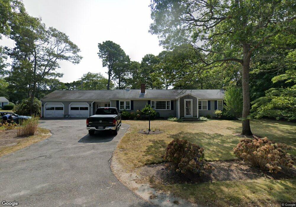
31 Blueberry Hill Rd Hyannis, MA 02601
Estimated Value: $417,000 - $669,000
3
Beds
2
Baths
1,720
Sq Ft
$341/Sq Ft
Est. Value
About This Home
This home is located at 31 Blueberry Hill Rd, Hyannis, MA 02601 and is currently estimated at $586,609, approximately $341 per square foot. 31 Blueberry Hill Rd is a home located in Barnstable County with nearby schools including Hyannis West Elementary School, Barnstable United Elementary School, and Barnstable Intermediate School.
Ownership History
Date
Name
Owned For
Owner Type
Purchase Details
Closed on
Dec 27, 2018
Sold by
Anderson Susan G
Bought by
Susan Glynn Anderson Lt and Anderson
Current Estimated Value
Create a Home Valuation Report for This Property
The Home Valuation Report is an in-depth analysis detailing your home's value as well as a comparison with similar homes in the area
Home Values in the Area
Average Home Value in this Area
Purchase History
| Date | Buyer | Sale Price | Title Company |
|---|---|---|---|
| Susan Glynn Anderson Lt | -- | None Available | |
| Susan Glynn Anderson Lt | -- | None Available | |
| Susan Glynn Anderson Lt | -- | None Available | |
| Susan Glynn Anderson Lt | -- | None Available |
Source: Public Records
Tax History Compared to Growth
Tax History
| Year | Tax Paid | Tax Assessment Tax Assessment Total Assessment is a certain percentage of the fair market value that is determined by local assessors to be the total taxable value of land and additions on the property. | Land | Improvement |
|---|---|---|---|---|
| 2025 | $5,536 | $597,200 | $156,800 | $440,400 |
| 2024 | $5,373 | $593,700 | $156,800 | $436,900 |
| 2023 | $4,986 | $521,000 | $142,600 | $378,400 |
| 2022 | $5,027 | $434,500 | $105,600 | $328,900 |
| 2021 | $4,514 | $379,000 | $105,600 | $273,400 |
| 2020 | $4,576 | $371,100 | $105,600 | $265,500 |
| 2019 | $4,283 | $340,500 | $105,600 | $234,900 |
| 2018 | $3,836 | $311,900 | $111,200 | $200,700 |
| 2017 | $3,634 | $303,100 | $111,200 | $191,900 |
| 2016 | $3,568 | $304,200 | $112,300 | $191,900 |
| 2015 | $3,418 | $295,400 | $110,000 | $185,400 |
Source: Public Records
Map
Nearby Homes
- 32 Blueberry Hill Rd
- 65 Blackberry Ln
- 32 Blueberry Hill Rd
- 50 Blackberry Ln
- 42 Blueberry Hill Rd
- 60 Blackberry Ln
- 28 Blueberry Hill Rd
- 682 Strawberry Hill Rd
- 59 Blueberry Hill Rd
- 72 Blackberry Ln
- 674 Strawberry Hill Rd
- 4 Blackberry Ln
- 664 Strawberry Hill Rd
- 706 Strawberry Hill Rd
- 56 Blueberry Hill Rd
- 67 Canterbury Cir
- 83 Blackberry Ln
- 71 Canterbury Cir
- 654 Strawberry Hill Rd
- 685 Strawberry Hill Rd