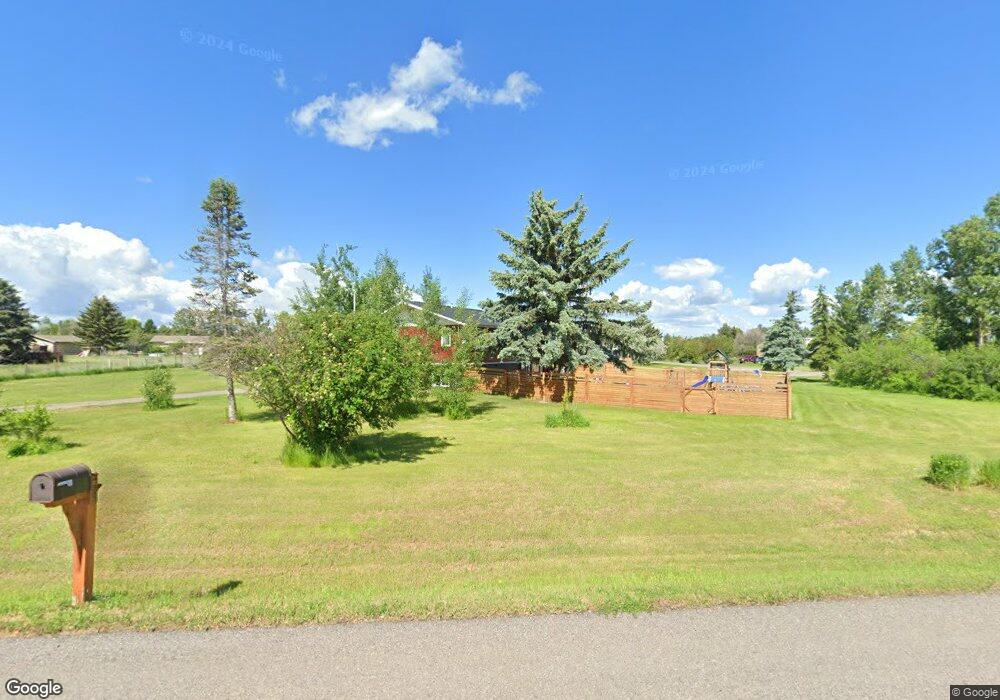
31 Border Ln Bozeman, MT 59718
Estimated Value: $720,266 - $903,000
3
Beds
3
Baths
2,105
Sq Ft
$393/Sq Ft
Est. Value
About This Home
This home is located at 31 Border Ln, Bozeman, MT 59718 and is currently estimated at $826,317, approximately $392 per square foot. 31 Border Ln is a home located in Gallatin County with nearby schools including Whittier School, Chief Joseph Middle School, and Gallatin High School.
Ownership History
Date
Name
Owned For
Owner Type
Purchase Details
Closed on
Jun 25, 2008
Sold by
Wells Fargo Bank Na
Bought by
Wallace John L and Wallace Martha I
Current Estimated Value
Home Financials for this Owner
Home Financials are based on the most recent Mortgage that was taken out on this home.
Original Mortgage
$232,000
Outstanding Balance
$147,768
Interest Rate
5.99%
Mortgage Type
Seller Take Back
Estimated Equity
$678,549
Purchase Details
Closed on
Apr 7, 2008
Sold by
Buckner Bruce W and Buckner Beth H
Bought by
Wells Fargo Bank Na
Purchase Details
Closed on
Aug 24, 2006
Sold by
Buchanan Jill G and Buchanan Pann Jill
Bought by
Buckner Bruce W and Buckner Beth H
Home Financials for this Owner
Home Financials are based on the most recent Mortgage that was taken out on this home.
Original Mortgage
$269,600
Interest Rate
9.05%
Mortgage Type
Balloon
Create a Home Valuation Report for This Property
The Home Valuation Report is an in-depth analysis detailing your home's value as well as a comparison with similar homes in the area
Home Values in the Area
Average Home Value in this Area
Purchase History
| Date | Buyer | Sale Price | Title Company |
|---|---|---|---|
| Wallace John L | -- | Security Title Company | |
| Wells Fargo Bank Na | $294,114 | None Available | |
| Buckner Bruce W | -- | Mte |
Source: Public Records
Mortgage History
| Date | Status | Borrower | Loan Amount |
|---|---|---|---|
| Open | Wallace John L | $232,000 | |
| Previous Owner | Buckner Bruce W | $269,600 |
Source: Public Records
Tax History Compared to Growth
Tax History
| Year | Tax Paid | Tax Assessment Tax Assessment Total Assessment is a certain percentage of the fair market value that is determined by local assessors to be the total taxable value of land and additions on the property. | Land | Improvement |
|---|---|---|---|---|
| 2025 | $2,408 | $654,400 | $0 | $0 |
| 2024 | $4,376 | $801,000 | $0 | $0 |
| 2023 | $4,638 | $800,000 | $0 | $0 |
| 2022 | $2,957 | $443,700 | $0 | $0 |
| 2021 | $3,349 | $443,700 | $0 | $0 |
| 2020 | $3,289 | $395,300 | $0 | $0 |
| 2019 | $3,226 | $395,300 | $0 | $0 |
| 2018 | $3,092 | $343,500 | $0 | $0 |
| 2017 | $2,846 | $343,500 | $0 | $0 |
| 2016 | $2,416 | $269,900 | $0 | $0 |
| 2015 | $2,401 | $269,900 | $0 | $0 |
| 2014 | $2,405 | $159,424 | $0 | $0 |
Source: Public Records
Map
Nearby Homes
- 29 Border Ln Unit 3
- Lot 2A Bison Trail
- TBD Harper Puckett
- 61 Buckhorn Trail
- TBD E Cameron Bridge Rd
- 174 Valley Grove Dr
- 339 Mountain Lion Trail
- 2426 Harper Puckett Rd
- 13 Liberty Dr
- 6 Liberty Dr
- 11 Liberty Dr
- 9 Liberty Dr
- 56 Poplar Dr
- 47 Poplar Dr
- 604 Morrison Ave Unit B
- 500 Stubbs Ln
- 890 Hidden Valley Rd Unit 52
- 3555 Royal Wolf Way Unit Lot 18
- 3481 Royal Wolf Way Unit B
- 3481 Royal Wolf Way Unit A