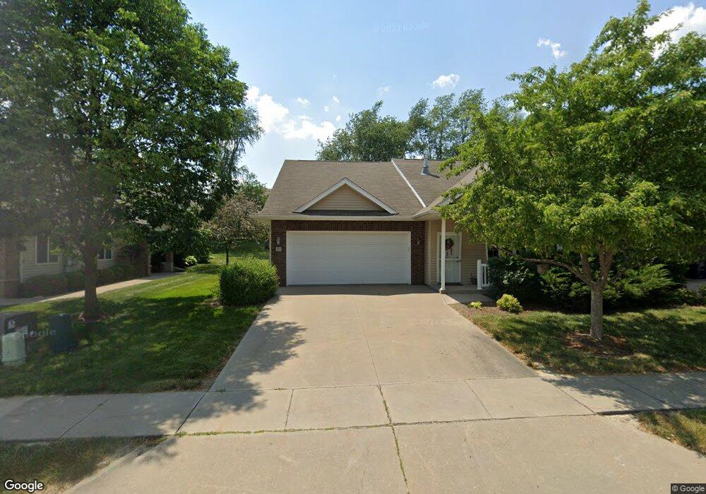
31 Brentwood Dr Unit 155G Iowa City, IA 52245
Estimated Value: $241,908 - $269,000
2
Beds
1
Bath
1,155
Sq Ft
$221/Sq Ft
Est. Value
About This Home
This home is located at 31 Brentwood Dr Unit 155G, Iowa City, IA 52245 and is currently estimated at $255,477, approximately $221 per square foot. 31 Brentwood Dr Unit 155G is a home located in Johnson County with nearby schools including Helen Lemme Elementary School, Southeast Junior High School, and City High School.
Ownership History
Date
Name
Owned For
Owner Type
Purchase Details
Closed on
Jun 11, 2010
Sold by
Wilson Peter C and Vollkommer Mia K
Bought by
Bunting Vickie Ann
Current Estimated Value
Home Financials for this Owner
Home Financials are based on the most recent Mortgage that was taken out on this home.
Original Mortgage
$118,000
Outstanding Balance
$77,998
Interest Rate
4.77%
Mortgage Type
New Conventional
Estimated Equity
$177,479
Purchase Details
Closed on
Aug 30, 2007
Sold by
Arlington Development Inc
Bought by
Wilson Peter C and Vollkommer Mia K
Home Financials for this Owner
Home Financials are based on the most recent Mortgage that was taken out on this home.
Original Mortgage
$7,850
Interest Rate
6.71%
Mortgage Type
Stand Alone Second
Create a Home Valuation Report for This Property
The Home Valuation Report is an in-depth analysis detailing your home's value as well as a comparison with similar homes in the area
Home Values in the Area
Average Home Value in this Area
Purchase History
| Date | Buyer | Sale Price | Title Company |
|---|---|---|---|
| Bunting Vickie Ann | $147,500 | None Available | |
| Wilson Peter C | $157,000 | None Available |
Source: Public Records
Mortgage History
| Date | Status | Borrower | Loan Amount |
|---|---|---|---|
| Open | Bunting Vickie Ann | $118,000 | |
| Previous Owner | Wilson Peter C | $7,850 | |
| Previous Owner | Wilson Peter C | $125,600 |
Source: Public Records
Tax History Compared to Growth
Tax History
| Year | Tax Paid | Tax Assessment Tax Assessment Total Assessment is a certain percentage of the fair market value that is determined by local assessors to be the total taxable value of land and additions on the property. | Land | Improvement |
|---|---|---|---|---|
| 2025 | $3,454 | $223,980 | $24,890 | $199,090 |
| 2024 | $3,528 | $213,630 | $22,820 | $190,810 |
| 2023 | $3,698 | $213,630 | $22,820 | $190,810 |
| 2022 | $3,698 | $182,840 | $19,710 | $163,130 |
| 2021 | $3,530 | $182,840 | $19,710 | $163,130 |
| 2020 | $3,608 | $178,720 | $18,670 | $160,050 |
| 2019 | $3,298 | $178,720 | $18,670 | $160,050 |
| 2018 | $3,298 | $161,850 | $18,670 | $143,180 |
| 2017 | $3,018 | $161,850 | $18,670 | $143,180 |
| 2016 | $2,954 | $149,050 | $16,600 | $132,450 |
| 2015 | $2,954 | $149,050 | $16,600 | $132,450 |
| 2014 | $2,850 | $143,790 | $16,600 | $127,190 |
Source: Public Records
Map
Nearby Homes
- 85 Broadmoor Ln
- 4157 Anna St
- 237 Camden Rd
- 230 Kenneth Dr
- 275 Camden Rd Unit 275
- 220 Camden Rd
- 4121 Ruth St
- 4375 York Place Unit 116T
- 4301 York Place
- 4349 York Place
- 14 Charles Dr
- 282 Kenneth Dr
- 281 Danielle St
- 285 Ashford Place
- 219 Eversull Ln
- 180 Eversull Ln
- 15 Mary Ct
- 225 Chadwick Ln
- 235 Chadwick Ln
- 0 Lower West Branch Rd SE
- 33 Brentwood Dr
- 13 Brentwood Dr Unit 154F
- 51 Brentwood Dr
- 11 Brentwood Dr
- 158 Kenneth Dr
- 53 Brentwood Dr
- 150 Kenneth Dr
- 12 Brentwood Dr
- 36 Brentwood Dr
- 18 Brentwood Dr
- 166 Kenneth Dr
- 38 Brentwood Dr Unit 141F
- 142 Kenneth Dr
- 56 Brentwood Dr
- 71 Brentwood Dr
- 58 Brentwood Dr Unit 139E
- 174 Kenneth Dr
- 73 Brentwood Dr Unit 160F
- 17 Brentwood Ln
- 63 Broadmoor Ln