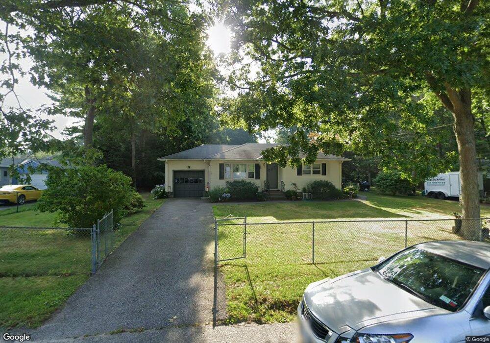
31 Bullard St Mastic, NY 11950
Estimated Value: $408,000 - $511,000
3
Beds
1
Bath
898
Sq Ft
$496/Sq Ft
Est. Value
About This Home
This home is located at 31 Bullard St, Mastic, NY 11950 and is currently estimated at $445,331, approximately $495 per square foot. 31 Bullard St is a home located in Suffolk County with nearby schools including Nathaniel Woodhull Elementary School, William Floyd Middle School, and William Floyd High School.
Ownership History
Date
Name
Owned For
Owner Type
Purchase Details
Closed on
Jan 4, 2007
Sold by
Piccinone Nka Savini Michael
Bought by
Burriesci Peter
Current Estimated Value
Purchase Details
Closed on
Dec 22, 2003
Sold by
Dinapoli Theresa
Bought by
Piccinone Michael
Home Financials for this Owner
Home Financials are based on the most recent Mortgage that was taken out on this home.
Original Mortgage
$216,600
Interest Rate
5.65%
Mortgage Type
FHA
Create a Home Valuation Report for This Property
The Home Valuation Report is an in-depth analysis detailing your home's value as well as a comparison with similar homes in the area
Home Values in the Area
Average Home Value in this Area
Purchase History
| Date | Buyer | Sale Price | Title Company |
|---|---|---|---|
| Burriesci Peter | $252,000 | Joseph A Cosumano | |
| Piccinone Michael | $220,000 | Commonwealth Title |
Source: Public Records
Mortgage History
| Date | Status | Borrower | Loan Amount |
|---|---|---|---|
| Previous Owner | Piccinone Michael | $216,600 |
Source: Public Records
Tax History Compared to Growth
Tax History
| Year | Tax Paid | Tax Assessment Tax Assessment Total Assessment is a certain percentage of the fair market value that is determined by local assessors to be the total taxable value of land and additions on the property. | Land | Improvement |
|---|---|---|---|---|
| 2024 | $6,527 | $1,600 | $260 | $1,340 |
| 2023 | $6,527 | $1,600 | $260 | $1,340 |
| 2022 | $7,244 | $1,600 | $260 | $1,340 |
| 2021 | $7,244 | $1,600 | $260 | $1,340 |
| 2020 | $7,397 | $1,600 | $260 | $1,340 |
| 2019 | $7,397 | $0 | $0 | $0 |
| 2018 | $7,116 | $1,600 | $260 | $1,340 |
| 2017 | $7,116 | $1,600 | $260 | $1,340 |
| 2016 | $7,116 | $1,600 | $260 | $1,340 |
| 2015 | -- | $1,600 | $260 | $1,340 |
| 2014 | -- | $1,650 | $260 | $1,390 |
Source: Public Records
Map
Nearby Homes
- 120 Somerset Ave
- 123 Hawthorne St
- VL Meadowmere Ave
- 107 Shinnecock Ave
- VL Jeanatta Ave
- 154 Meadowmere Ave
- 0 Neptune Ave
- 247 Hawthorne St
- 137 Riverside Ave
- 89 Market St
- 93 Market St
- 91 Market St
- 70 Patchogue Ave
- 161 Shinnecock Ave
- 150 Moriches Ave
- 0 Van Buren St
- 180 Main Ave
- 66 Wood Ave
- 155 Patchogue Ave
- 72 Concord Rd
- 29 Bullard St
- 35 Bullard St
- 172 Cumberland St
- 174 Cumberland St
- 168 Cumberland St
- 30 Bullard St
- 34 Bullard St
- 25 Bullard St
- 28 Bullard St
- 176 Cumberland St
- 36 Bullard St
- 166 Cumberland St
- 26 Bullard St
- 111 Pawnee Ave
- 117 Pawnee Ave
- 164 Cumberland St
- 24 Bullard St
- 105 Pawnee Ave
- 180 Cumberland St
- 162 Cumberland St