31 Camby Rd Morgantown, WV 26508
Estimated Value: $471,000 - $666,128
5
Beds
4
Baths
4,647
Sq Ft
$123/Sq Ft
Est. Value
About This Home
This home is located at 31 Camby Rd, Morgantown, WV 26508 and is currently estimated at $570,782, approximately $122 per square foot. 31 Camby Rd is a home located in Monongalia County with nearby schools including Ridgedale Elementary School, South Middle School, and Morgantown High School.
Ownership History
Date
Name
Owned For
Owner Type
Purchase Details
Closed on
Aug 23, 2021
Sold by
Myer Phillip Andrew
Bought by
Galica Barbara L
Current Estimated Value
Purchase Details
Closed on
Nov 12, 2010
Sold by
Myer Shawn Ringer
Bought by
Myer Phillip Andrew
Home Financials for this Owner
Home Financials are based on the most recent Mortgage that was taken out on this home.
Original Mortgage
$262,263
Interest Rate
4.25%
Mortgage Type
New Conventional
Create a Home Valuation Report for This Property
The Home Valuation Report is an in-depth analysis detailing your home's value as well as a comparison with similar homes in the area
Home Values in the Area
Average Home Value in this Area
Purchase History
| Date | Buyer | Sale Price | Title Company |
|---|---|---|---|
| Galica Barbara L | -- | None Listed On Document | |
| Myer Phillip Andrew | -- | None Available |
Source: Public Records
Mortgage History
| Date | Status | Borrower | Loan Amount |
|---|---|---|---|
| Previous Owner | Myer Phillip Andrew | $262,263 |
Source: Public Records
Tax History Compared to Growth
Tax History
| Year | Tax Paid | Tax Assessment Tax Assessment Total Assessment is a certain percentage of the fair market value that is determined by local assessors to be the total taxable value of land and additions on the property. | Land | Improvement |
|---|---|---|---|---|
| 2024 | $2,360 | $222,900 | $24,900 | $198,000 |
| 2023 | $2,375 | $222,900 | $24,900 | $198,000 |
| 2022 | $2,087 | $203,640 | $23,880 | $179,760 |
| 2021 | $2,097 | $203,640 | $23,880 | $179,760 |
| 2020 | $2,126 | $205,500 | $23,880 | $181,620 |
| 2019 | $2,141 | $205,500 | $23,880 | $181,620 |
| 2018 | $2,148 | $205,500 | $23,880 | $181,620 |
| 2017 | $2,086 | $198,540 | $22,560 | $175,980 |
| 2016 | $2,084 | $197,100 | $21,120 | $175,980 |
| 2015 | $1,995 | $197,340 | $19,440 | $177,900 |
| 2014 | $1,863 | $193,200 | $17,760 | $175,440 |
Source: Public Records
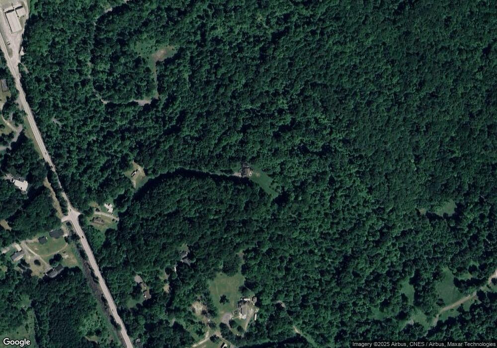
Map
Nearby Homes
- 100 Landing Dr
- TBD Humphreys Rd
- 3228 Ridgedale Rd
- 1248 Goshen Rd
- 53 Owl St
- 52 Owl St
- 100 Lockwood Dr
- 107 Lockwood Dr
- 105 Lockwood Dr
- 48 Ringold Ln
- 1266 Grafton Rd
- 64 Kennedy Store Rd
- 00 Camp Mountaineer Rd
- 0 Camp Mountaineer Rd
- 687 Cobun Creek Rd
- 1076 Kingwood Pike
- 104 Mountainview Rd
- 439 Blackberry Ridge Dr
- 457 Blackberry Ridge Dr
- TBD Blue Sky Ln
- 53 Camby Rd
- 139 Camby Rd
- 139 Camby Rd
- 16 Camby Rd
- 60 Camby Rd
- 2165 Grafton Rd
- 3382 Ridgedale Rd
- 3378 Ridgedale Rd
- 3388 Ridgedale Rd
- 2167 Grafton Rd
- 2160 Grafton Rd
- 25 Starling Estate
- 3372 Ridgedale Rd
- 2171 Grafton Rd
- 35 Starling Estate
- 2 Starling Estate
- 2010 Grafton Rd
- 45 Starling Estate
- 3340 Ridgedale Rd
- 1998 Grafton Rd