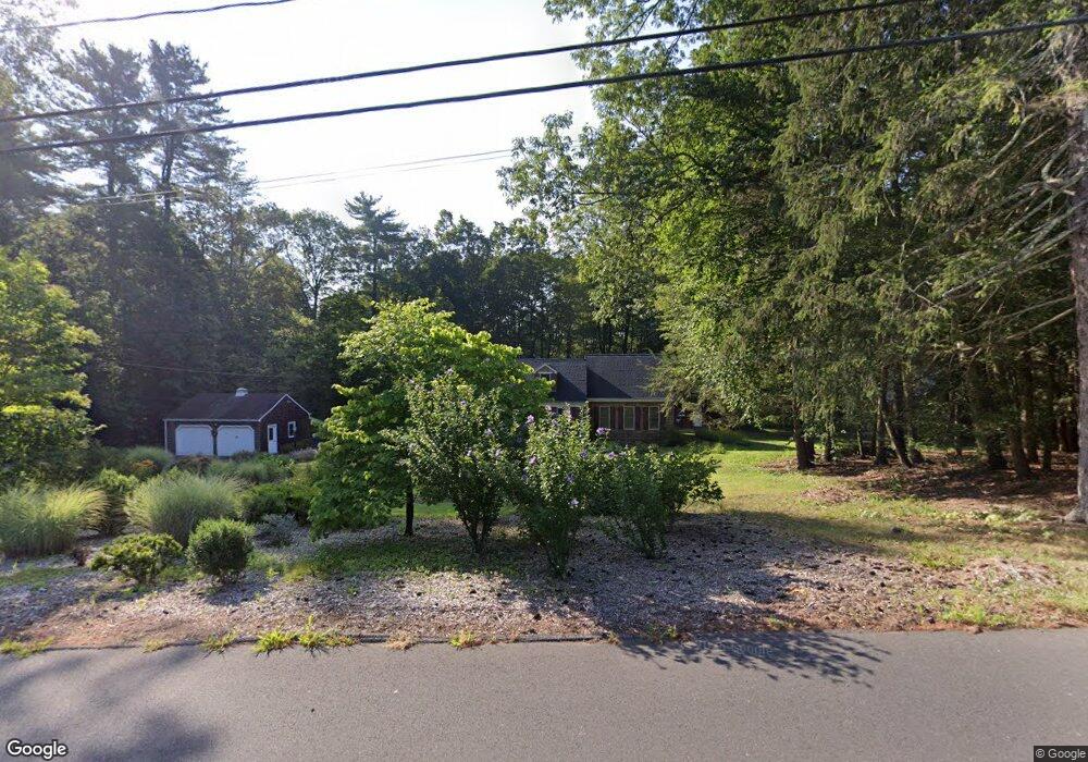
31 Canton Rd West Simsbury, CT 06092
Estimated Value: $529,000 - $726,000
3
Beds
4
Baths
2,828
Sq Ft
$218/Sq Ft
Est. Value
About This Home
This home is located at 31 Canton Rd, West Simsbury, CT 06092 and is currently estimated at $617,391, approximately $218 per square foot. 31 Canton Rd is a home located in Hartford County with nearby schools including Tootin' Hills School, Henry James Memorial School, and Simsbury High School.
Ownership History
Date
Name
Owned For
Owner Type
Purchase Details
Closed on
Aug 27, 1996
Sold by
Delmastro Peter J and Delmastro Phyllis A
Bought by
Ray Eugene A and Ray Marily R
Current Estimated Value
Purchase Details
Closed on
Jun 7, 1996
Sold by
Ryczak Peter and Ryczak Marie
Bought by
Delisle Lillie and Wilson Edward
Home Financials for this Owner
Home Financials are based on the most recent Mortgage that was taken out on this home.
Original Mortgage
$94,000
Interest Rate
7.89%
Mortgage Type
Purchase Money Mortgage
Create a Home Valuation Report for This Property
The Home Valuation Report is an in-depth analysis detailing your home's value as well as a comparison with similar homes in the area
Home Values in the Area
Average Home Value in this Area
Purchase History
| Date | Buyer | Sale Price | Title Company |
|---|---|---|---|
| Ray Eugene A | $148,000 | -- | |
| Delisle Lillie | $134,000 | -- |
Source: Public Records
Mortgage History
| Date | Status | Borrower | Loan Amount |
|---|---|---|---|
| Closed | Delisle Lillie | $99,900 | |
| Closed | Delisle Lillie | $31,000 | |
| Previous Owner | Delisle Lillie | $94,000 |
Source: Public Records
Tax History
| Year | Tax Paid | Tax Assessment Tax Assessment Total Assessment is a certain percentage of the fair market value that is determined by local assessors to be the total taxable value of land and additions on the property. | Land | Improvement |
|---|---|---|---|---|
| 2025 | $10,289 | $301,210 | $77,280 | $223,930 |
| 2024 | $10,033 | $301,210 | $77,280 | $223,930 |
| 2023 | $9,585 | $301,210 | $77,280 | $223,930 |
| 2022 | $8,931 | $231,200 | $81,740 | $149,460 |
| 2021 | $8,931 | $231,200 | $81,740 | $149,460 |
| 2020 | $8,575 | $231,200 | $81,740 | $149,460 |
| 2019 | $8,628 | $231,200 | $81,740 | $149,460 |
| 2018 | $8,691 | $231,200 | $81,740 | $149,460 |
| 2017 | $8,735 | $225,360 | $81,730 | $143,630 |
| 2016 | $8,365 | $225,360 | $81,730 | $143,630 |
| 2015 | $8,365 | $225,360 | $81,730 | $143,630 |
| 2014 | $8,370 | $225,360 | $81,730 | $143,630 |
Source: Public Records
Map
Nearby Homes
- 24 Ichabod Rd
- 7 Shaw Dr
- 301 Bushy Hill Rd
- 370A W Mountain Rd
- 34 Rocklyn Dr
- 29 Long View Dr
- 51 Hendricks Ln
- 121 Gracey Rd
- 24 Hendricks Ln
- 49 Applegate Ln Unit 49
- 26 Forest Ln
- 15 Red Fox Run
- 126 Hopmeadow St Unit 3H
- 29 Lovely St
- 15 Sand Hill Rd
- 30 Cliff Dr
- 21 Lakeview Blvd
- 187 W Avon Rd
- 152 E Hill Rd
- 52 Shingle Mill Rd
Your Personal Tour Guide
Ask me questions while you tour the home.