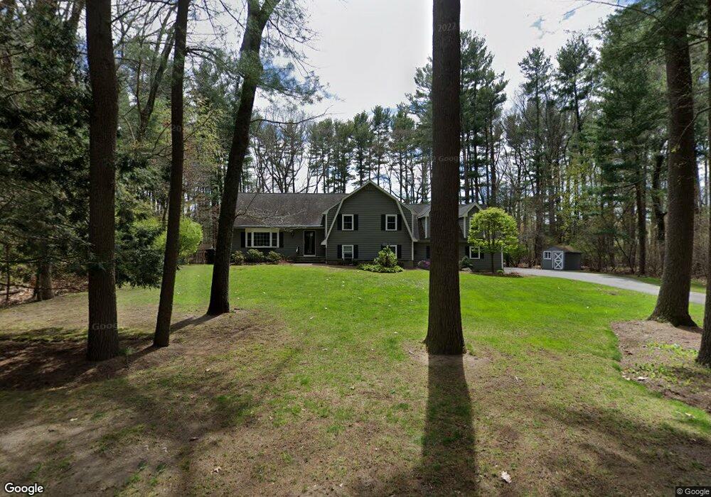
31 Cider Mill Rd Sudbury, MA 01776
Estimated Value: $921,000 - $1,343,000
4
Beds
3
Baths
2,549
Sq Ft
$441/Sq Ft
Est. Value
About This Home
This home is located at 31 Cider Mill Rd, Sudbury, MA 01776 and is currently estimated at $1,124,757, approximately $441 per square foot. 31 Cider Mill Rd is a home located in Middlesex County with nearby schools including Israel Loring Elementary School, Ephraim Curtis Middle School, and Lincoln-Sudbury Regional High School.
Ownership History
Date
Name
Owned For
Owner Type
Purchase Details
Closed on
Dec 29, 2003
Sold by
Kong Michele T and Kong James
Bought by
Karol Elissa M and Karol Peter D
Current Estimated Value
Home Financials for this Owner
Home Financials are based on the most recent Mortgage that was taken out on this home.
Original Mortgage
$333,700
Outstanding Balance
$157,248
Interest Rate
6.01%
Mortgage Type
Purchase Money Mortgage
Estimated Equity
$967,509
Purchase Details
Closed on
Jun 29, 1998
Sold by
Evans Gerald L and Evans Jane A
Bought by
Kong James and Kong Michelle T
Home Financials for this Owner
Home Financials are based on the most recent Mortgage that was taken out on this home.
Original Mortgage
$297,500
Interest Rate
7.09%
Mortgage Type
Purchase Money Mortgage
Create a Home Valuation Report for This Property
The Home Valuation Report is an in-depth analysis detailing your home's value as well as a comparison with similar homes in the area
Home Values in the Area
Average Home Value in this Area
Purchase History
| Date | Buyer | Sale Price | Title Company |
|---|---|---|---|
| Karol Elissa M | $579,000 | -- | |
| Kong James | $425,000 | -- |
Source: Public Records
Mortgage History
| Date | Status | Borrower | Loan Amount |
|---|---|---|---|
| Open | Karol Elissa M | $333,700 | |
| Previous Owner | Kong James | $309,000 | |
| Previous Owner | Kong James | $297,500 | |
| Previous Owner | Kong James | $170,000 |
Source: Public Records
Tax History Compared to Growth
Tax History
| Year | Tax Paid | Tax Assessment Tax Assessment Total Assessment is a certain percentage of the fair market value that is determined by local assessors to be the total taxable value of land and additions on the property. | Land | Improvement |
|---|---|---|---|---|
| 2025 | $14,841 | $1,013,700 | $351,400 | $662,300 |
| 2024 | $14,310 | $979,500 | $341,300 | $638,200 |
| 2023 | $14,010 | $888,400 | $304,900 | $583,500 |
| 2022 | $12,899 | $714,600 | $279,700 | $434,900 |
| 2021 | $12,079 | $641,500 | $279,700 | $361,800 |
| 2020 | $11,836 | $641,500 | $279,700 | $361,800 |
| 2019 | $11,489 | $641,500 | $279,700 | $361,800 |
| 2018 | $10,771 | $600,700 | $297,600 | $303,100 |
| 2017 | $10,245 | $577,500 | $295,100 | $282,400 |
| 2016 | $10,020 | $562,900 | $283,900 | $279,000 |
| 2015 | $9,043 | $513,800 | $287,500 | $226,300 |
| 2014 | $9,006 | $499,500 | $279,100 | $220,400 |
Source: Public Records
Map
Nearby Homes
- 14 Eisenhower Rd
- 84 Hopestill Brown Rd
- 91 Eaton Rd W
- 19 Nob Hill Dr
- 27 Sloane Dr
- 32 Eaton Rd W
- 0 Wagonwheel Rd
- 30 Nobscot Rd Unit 14
- 41 James St
- 128 Nobscot Rd
- 40 Gregory Rd
- 63 Landham Rd
- 30 Edith Rd
- 53 Davidson Rd
- 78 Apple d or Rd
- 106 Baldwin Ave
- 14 Francine Rd
- 1011 Boston Post Rd
- 8 Clara Rd
- 82 Joseph Rd