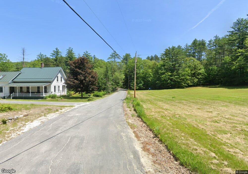
31 Davis Rd Bradford, NH 03221
Estimated Value: $327,203 - $547,000
1
Bed
1
Bath
1,757
Sq Ft
$238/Sq Ft
Est. Value
About This Home
This home is located at 31 Davis Rd, Bradford, NH 03221 and is currently estimated at $417,551, approximately $237 per square foot. 31 Davis Rd is a home with nearby schools including Sutton Central Elementary School, Kearsarge Regional Middle School, and Kearsarge Regional High School.
Ownership History
Date
Name
Owned For
Owner Type
Purchase Details
Closed on
Nov 22, 2019
Sold by
Grant Teri A and Ryan William W
Bought by
Grant Ryan Ft 2019
Current Estimated Value
Purchase Details
Closed on
Aug 1, 2013
Sold by
Irene C Davis T
Bought by
Ryan William W and Grant Teri A
Create a Home Valuation Report for This Property
The Home Valuation Report is an in-depth analysis detailing your home's value as well as a comparison with similar homes in the area
Home Values in the Area
Average Home Value in this Area
Purchase History
| Date | Buyer | Sale Price | Title Company |
|---|---|---|---|
| Grant Ryan Ft 2019 | -- | -- | |
| Ryan William W | $147,500 | -- | |
| Ryan William W | $147,500 | -- |
Source: Public Records
Mortgage History
| Date | Status | Borrower | Loan Amount |
|---|---|---|---|
| Closed | Ryan William W | $0 |
Source: Public Records
Tax History Compared to Growth
Tax History
| Year | Tax Paid | Tax Assessment Tax Assessment Total Assessment is a certain percentage of the fair market value that is determined by local assessors to be the total taxable value of land and additions on the property. | Land | Improvement |
|---|---|---|---|---|
| 2024 | $5,789 | $214,900 | $94,600 | $120,300 |
| 2023 | $5,270 | $207,730 | $94,600 | $113,130 |
| 2022 | $5,019 | $207,730 | $94,600 | $113,130 |
| 2021 | $4,678 | $193,630 | $94,600 | $99,030 |
| 2020 | $4,743 | $190,730 | $94,600 | $96,130 |
| 2019 | $4,926 | $163,700 | $77,000 | $86,700 |
| 2016 | $4,409 | $163,400 | $77,000 | $86,400 |
| 2015 | $4,468 | $165,600 | $79,200 | $86,400 |
| 2014 | $4,481 | $185,260 | $93,600 | $91,660 |
| 2012 | $3,996 | $185,260 | $93,600 | $91,660 |
Source: Public Records
Map
Nearby Homes
- 555 Shaker Rd
- 0 Pound Rd N Unit 28
- 0 Roby Unit 5036005
- 00 Mountainside Dr Unit 183
- Map5lot729-028
- 312 North Rd
- 0 Fairway Ln Unit 8
- 14 Meetinghouse Hill Rd
- 155 Wilder Ln
- 0 Summit Rd Unit 431
- 10 Dodge Hill Rd
- 295 Andover Rd
- 0 Howe Rd Unit 4996459
- 158 Quail Run
- 000 Shaker Rd Unit 288
- 24 Mountain Overlook
- 344 Chalk Pond Rd
- 6 Chapin Way Unit 6
- 12 Chapin Way Unit Lot 12
- 000 Route 114 Unit 168