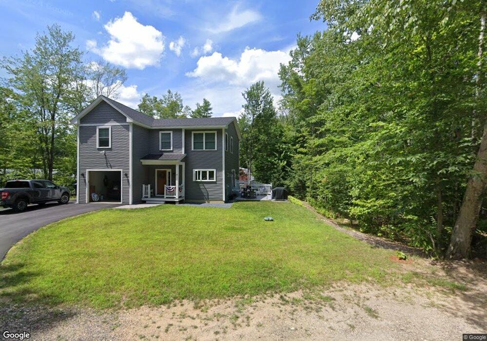
31 Dillion Dr E Strafford, NH 03884
Estimated Value: $387,632 - $417,000
4
Beds
1
Bath
1,728
Sq Ft
$231/Sq Ft
Est. Value
About This Home
This home is located at 31 Dillion Dr E, Strafford, NH 03884 and is currently estimated at $398,658, approximately $230 per square foot. 31 Dillion Dr E is a home located in Strafford County with nearby schools including Strafford School and Coe-Brown Northwood Academy.
Ownership History
Date
Name
Owned For
Owner Type
Purchase Details
Closed on
Sep 15, 2025
Sold by
Miller Kenneth G
Bought by
Spainhower Jacob R
Current Estimated Value
Home Financials for this Owner
Home Financials are based on the most recent Mortgage that was taken out on this home.
Original Mortgage
$312,800
Outstanding Balance
$312,257
Interest Rate
6.72%
Mortgage Type
New Conventional
Estimated Equity
$86,401
Create a Home Valuation Report for This Property
The Home Valuation Report is an in-depth analysis detailing your home's value as well as a comparison with similar homes in the area
Home Values in the Area
Average Home Value in this Area
Purchase History
| Date | Buyer | Sale Price | Title Company |
|---|---|---|---|
| Spainhower Jacob R | $391,000 | -- |
Source: Public Records
Mortgage History
| Date | Status | Borrower | Loan Amount |
|---|---|---|---|
| Open | Spainhower Jacob R | $312,800 |
Source: Public Records
Tax History
| Year | Tax Paid | Tax Assessment Tax Assessment Total Assessment is a certain percentage of the fair market value that is determined by local assessors to be the total taxable value of land and additions on the property. | Land | Improvement |
|---|---|---|---|---|
| 2024 | $4,420 | $223,700 | $56,800 | $166,900 |
| 2023 | $4,168 | $223,600 | $56,800 | $166,800 |
| 2022 | $3,830 | $223,600 | $56,800 | $166,800 |
| 2021 | $4,128 | $223,600 | $56,800 | $166,800 |
| 2020 | $3,481 | $135,700 | $46,600 | $89,100 |
| 2019 | $6,536 | $135,700 | $46,600 | $89,100 |
| 2018 | $3,057 | $143,500 | $46,600 | $96,900 |
| 2016 | $3,049 | $143,500 | $46,600 | $96,900 |
| 2015 | $3,182 | $145,900 | $61,700 | $84,200 |
| 2014 | $3,379 | $145,900 | $61,700 | $84,200 |
| 2013 | $3,309 | $145,900 | $61,700 | $84,200 |
| 2012 | $3,299 | $147,400 | $61,700 | $85,700 |
Source: Public Records
Map
Nearby Homes
- 133 & 137 Browns Pasture Rd
- Map 3 Lot 18-2b and 18-2c Water St
- 114 Bow Lake Estates Rd
- M37 L40 Beaver Rd
- 0 1st New Hampshire Turnpike Unit 5026030
- 0 1st New Hampshire Turnpike Unit 5013320
- 36 Leavitt Ln
- 641 & 647 First nh Turnpike
- 239 Long Pond Rd
- 73 Harvey Lake Rd
- 26 Oak St
- 295 1st New Hampshire Turnpike
- 369 Blakes Hill Rd
- 18 Collins Dr
- 1416 Parker Mountain Rd
- 17 Brook Cir
- 11 Chestnut Ln
- 1760 Province Rd
- 19 Brook Cir
- 7 Chestnut Ln
- 57 Dillon Dr E
- Map 33 Lot 65 Dillon Dr E
- Map 33 Lot 69 Dillon Dr E
- 8 Bunnell Dr
- 30 Dillion Dr E
- 133 Browns Pasture Rd
- 0 Dillon Dr E Unit Lot 67 4671481
- 122 Browns Pasture Rd
- 137 Browns Pasture Rd
- 22 Bunnell Dr
- 140 Browns Pasture Rd
- 10 Thorne Ln
- 10 Thorne Ln Unit 67
- 105 Browns Pasture Rd
- 68 Dillon Dr E Unit Lot 68 and 75
- 8 Thorne Ln
- 142 Browns Pasture Rd
- 15 Lake Shore Dr
- 0 Browns Pasture Rd
- 30 Bunnell Dr
Your Personal Tour Guide
Ask me questions while you tour the home.