31 Dry Fork Dr Winchester, TN 37398
Estimated Value: $541,034 - $727,000
Studio
1
Bath
2,016
Sq Ft
$312/Sq Ft
Est. Value
About This Home
This home is located at 31 Dry Fork Dr, Winchester, TN 37398 and is currently estimated at $629,759, approximately $312 per square foot. 31 Dry Fork Dr is a home with nearby schools including South Middle School, Franklin County High School, and Winchester Christian Academy.
Ownership History
Date
Name
Owned For
Owner Type
Purchase Details
Closed on
Oct 22, 2020
Sold by
Halbig Katie
Bought by
Halbig Erik
Current Estimated Value
Home Financials for this Owner
Home Financials are based on the most recent Mortgage that was taken out on this home.
Original Mortgage
$316,700
Outstanding Balance
$279,882
Interest Rate
2.8%
Mortgage Type
New Conventional
Estimated Equity
$349,877
Purchase Details
Closed on
Mar 31, 2016
Sold by
Twin Creeks Properties Llc
Bought by
Halbig Erik and Halbig Katie
Purchase Details
Closed on
Dec 29, 2015
Sold by
Franklin County United Bank
Bought by
Twin Creeks Development Llc
Purchase Details
Closed on
Jan 3, 2007
Bought by
Twin Creeks Development Ll
Purchase Details
Closed on
Jan 22, 1986
Bought by
Anderton Wade Blevins and Anderton Jo Carter
Purchase Details
Closed on
May 5, 1969
Bought by
Anderton Rebecca Choate
Create a Home Valuation Report for This Property
The Home Valuation Report is an in-depth analysis detailing your home's value as well as a comparison with similar homes in the area
Home Values in the Area
Average Home Value in this Area
Purchase History
| Date | Buyer | Sale Price | Title Company |
|---|---|---|---|
| Halbig Erik | -- | None Available | |
| Halbig Erik | $62,900 | -- | |
| Twin Creeks Development Llc | $1,300,000 | -- | |
| Twin Creeks Development Ll | $560,000 | -- | |
| Anderton Wade Blevins | -- | -- | |
| Anderton Rebecca Choate | -- | -- |
Source: Public Records
Mortgage History
| Date | Status | Borrower | Loan Amount |
|---|---|---|---|
| Open | Halbig Erik | $316,700 |
Source: Public Records
Tax History
| Year | Tax Paid | Tax Assessment Tax Assessment Total Assessment is a certain percentage of the fair market value that is determined by local assessors to be the total taxable value of land and additions on the property. | Land | Improvement |
|---|---|---|---|---|
| 2025 | -- | $176,920 | $40,000 | $136,920 |
| 2024 | -- | $178,720 | $40,000 | $138,720 |
| 2023 | $2,872 | $111,700 | $25,000 | $86,700 |
| 2022 | $2,816 | $111,700 | $25,000 | $86,700 |
| 2021 | $419 | $111,700 | $25,000 | $86,700 |
| 2020 | $578 | $16,375 | $15,125 | $1,250 |
| 2019 | $578 | $16,375 | $15,125 | $1,250 |
| 2018 | $545 | $16,375 | $15,125 | $1,250 |
| 2017 | $545 | $16,375 | $15,125 | $1,250 |
| 2016 | $541 | $16,250 | $16,250 | $0 |
| 2015 | $531 | $16,250 | $16,250 | $0 |
| 2014 | $531 | $16,250 | $0 | $0 |
Source: Public Records
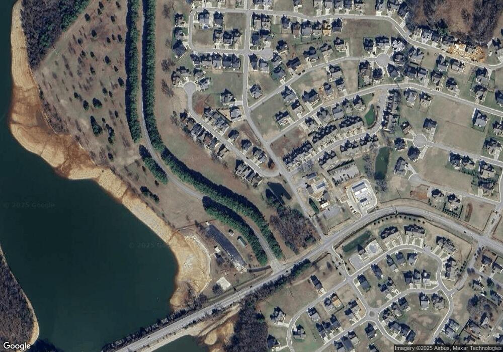
Map
Nearby Homes
- 0 Why Worry Ln Unit RTC3062133
- 5 Anderton Dr
- 4 Anderton Dr
- 0 Twin Creeks Dr Unit RTC2685254
- 0 Pontoon Place Unit RTC3129038
- 69 Anderton Dr
- 0 Slalom Cir Unit RTC2618426
- 0 Turtle Ct Unit 374
- 0 Kayak Way Unit 489
- 0 Kayak Way Unit RTC2648864
- 0 Kayak Way Unit RTC2969758
- 103 Anderton Dr
- 0 Campfire Ct Unit RTC3111135
- 0 Campfire Ct Unit RTC3007498
- 0 Campfire Ct Unit 444
- 65 Campfire Ct
- 0 Dry Fork Unit RTC3121620
- 148 Anderton Dr
- 0 Suntan Ct Unit 316
- 0 Suntan Ct Unit 270
- 39 Dry Fork Dr
- 25 Dry Fork Dr
- 45 Dry Fork Dr
- 219 Why Worry Ln
- 51 Dry Fork Dr
- 53 Dry Fork Dr
- 36 Dry Fork Dr
- 42 Dry Fork Dr
- 70 Dry Fork Dr
- 60 Dry Fork Dr
- 174 Wakeboard Way
- 0 Why Worry Ln Unit RTC3066699
- 0 Why Worry Ln Unit RTC2898579
- 0 Why Worry Ln Unit RTC2787260
- 0 Why Worry Ln Unit RTC2747931
- 0 Why Worry Ln Unit RTC2608226
- 0 Why Worry Ln Unit RTC2581029
- 0 Why Worry Ln Unit RTC2534883
- 0 Why Worry Ln Unit RTC2496047
- 0 Why Worry Ln Unit RTC2462268
Your Personal Tour Guide
Ask me questions while you tour the home.