Estimated Value: $249,380 - $310,000
2
Beds
2
Baths
1,132
Sq Ft
$242/Sq Ft
Est. Value
About This Home
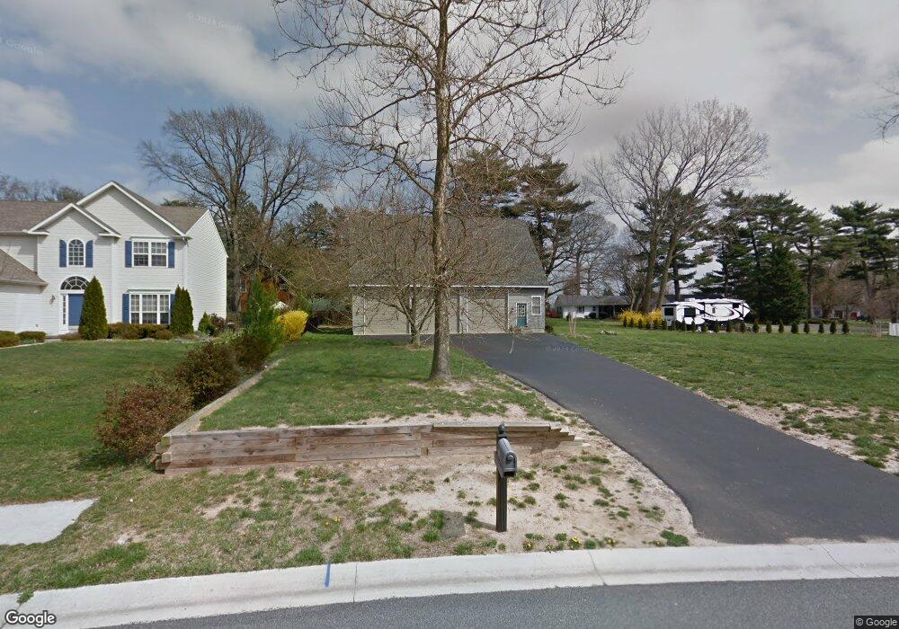
This home is located at 31 E Darby Cir, Dover, DE 19904 and is currently estimated at $274,345, approximately $242 per square foot. 31 E Darby Cir is a home located in Kent County with nearby schools including Nellie Hughes Stokes Elementary School, Fred Fifer Middle School, and Caesar Rodney High School.
Ownership History
Date
Name
Owned For
Owner Type
Purchase Details
Closed on
Feb 27, 2014
Sold by
Brown Matthew C and Brown Lori D
Bought by
Horizon Property Investments Llc
Current Estimated Value
Purchase Details
Closed on
Apr 1, 2010
Sold by
Fannie Mae
Bought by
Brown Matthew C and Brown Lori D
Home Financials for this Owner
Home Financials are based on the most recent Mortgage that was taken out on this home.
Original Mortgage
$88,500
Interest Rate
4.97%
Mortgage Type
New Conventional
Purchase Details
Closed on
Sep 4, 2009
Sold by
Dawson Kimberly K and Dawson Brian K
Bought by
Mortgage Electronic Registration Systems
Create a Home Valuation Report for This Property
The Home Valuation Report is an in-depth analysis detailing your home's value as well as a comparison with similar homes in the area
Home Values in the Area
Average Home Value in this Area
Purchase History
| Date | Buyer | Sale Price | Title Company |
|---|---|---|---|
| Horizon Property Investments Llc | -- | None Available | |
| Brown Matthew C | $118,000 | None Available | |
| Mortgage Electronic Registration Systems | $171,463 | None Available |
Source: Public Records
Mortgage History
| Date | Status | Borrower | Loan Amount |
|---|---|---|---|
| Previous Owner | Brown Matthew C | $88,500 |
Source: Public Records
Tax History
| Year | Tax Paid | Tax Assessment Tax Assessment Total Assessment is a certain percentage of the fair market value that is determined by local assessors to be the total taxable value of land and additions on the property. | Land | Improvement |
|---|---|---|---|---|
| 2025 | $597 | $150,400 | $71,900 | $78,500 |
| 2024 | $594 | $150,400 | $71,900 | $78,500 |
| 2023 | $917 | $36,300 | $10,400 | $25,900 |
| 2022 | $866 | $36,300 | $10,400 | $25,900 |
| 2021 | $859 | $36,300 | $10,400 | $25,900 |
| 2020 | $844 | $36,300 | $10,400 | $25,900 |
| 2019 | $811 | $36,300 | $10,400 | $25,900 |
| 2018 | $781 | $36,300 | $10,400 | $25,900 |
| 2017 | $759 | $36,300 | $0 | $0 |
| 2016 | $743 | $36,300 | $0 | $0 |
| 2015 | $621 | $36,300 | $0 | $0 |
| 2014 | $619 | $36,300 | $0 | $0 |
Source: Public Records
Map
Nearby Homes
- 43 E Darby Cir
- 74 Nanticoke Dr
- 50 Nanticoke Dr
- 96 Lochmeath Way
- 45 Capricorn Way
- 143 S Knight Ln Unit 107
- 107 S Hairgrove Ln Unit 86
- 11 N Kimmer Ln Unit 265
- 25 Martindale Way Unit 51
- 24 S Stetson Ln Unit 210
- 21 Catts Ln Unit 27
- 12 Catts Ln Unit 21
- 68 Carey Ln Unit 15
- 104 Lake Front Dr
- 16 Lone Tree Dr
- 147 N Red Haven Ln
- 615 S Wynn Wood Cir
- 268 N Red Haven Ln
- 31 E Fred Cir
- 11901 Willow Grove Rd
- 31 E Darby Cir
- 35 E Darby Cir
- 37 E Darby Cir
- 3263 Upper King Rd
- 3307 Upper King Rd
- 29 E Darby Cir
- 26 E Darby Cir
- 32 E Darby Cir
- 38 E Darby Cir
- 3233 Upper King Rd
- 27 E Darby Cir
- 20 E Darby Cir
- 3367 Upper King Rd
- 49 E Darby Cir
- 44 E Darby Cir
- 3292 Upper King Rd
- 3306 Upper King Rd
- 21 E Darby Cir
- 14 E Darby Cir
- 21 E Inner Cir
Your Personal Tour Guide
Ask me questions while you tour the home.