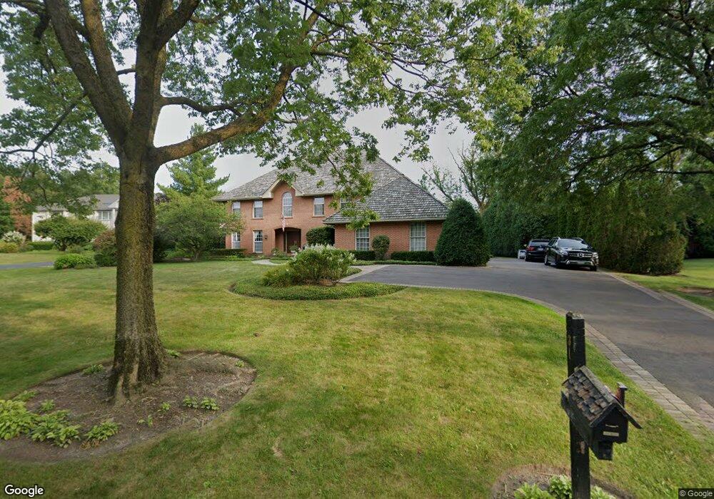
31 E Quail Dr Lake Forest, IL 60045
Estimated Value: $1,157,000 - $1,375,000
4
Beds
3
Baths
4,131
Sq Ft
$316/Sq Ft
Est. Value
About This Home
This home is located at 31 E Quail Dr, Lake Forest, IL 60045 and is currently estimated at $1,303,594, approximately $315 per square foot. 31 E Quail Dr is a home located in Lake County with nearby schools including Cherokee Elementary School, Deer Path Middle School East, and Lake Forest High School.
Ownership History
Date
Name
Owned For
Owner Type
Purchase Details
Closed on
Oct 1, 2020
Sold by
Warren Robert C and Warren Mary L
Bought by
Frentzas Frank and Frentzas Julie A
Current Estimated Value
Home Financials for this Owner
Home Financials are based on the most recent Mortgage that was taken out on this home.
Original Mortgage
$510,400
Outstanding Balance
$451,636
Interest Rate
2.62%
Mortgage Type
New Conventional
Estimated Equity
$851,958
Create a Home Valuation Report for This Property
The Home Valuation Report is an in-depth analysis detailing your home's value as well as a comparison with similar homes in the area
Home Values in the Area
Average Home Value in this Area
Purchase History
| Date | Buyer | Sale Price | Title Company |
|---|---|---|---|
| Frentzas Frank | $735,000 | Jp Title Guaranty Inc |
Source: Public Records
Mortgage History
| Date | Status | Borrower | Loan Amount |
|---|---|---|---|
| Open | Frentzas Frank | $510,400 |
Source: Public Records
Tax History Compared to Growth
Tax History
| Year | Tax Paid | Tax Assessment Tax Assessment Total Assessment is a certain percentage of the fair market value that is determined by local assessors to be the total taxable value of land and additions on the property. | Land | Improvement |
|---|---|---|---|---|
| 2024 | $20,956 | $366,141 | $98,263 | $267,878 |
| 2023 | $21,151 | $334,650 | $89,811 | $244,839 |
| 2022 | $21,151 | $352,006 | $96,698 | $255,308 |
| 2021 | $20,011 | $339,381 | $93,230 | $246,151 |
| 2020 | $19,488 | $340,095 | $93,426 | $246,669 |
| 2019 | $18,832 | $339,517 | $93,267 | $246,250 |
| 2018 | $17,592 | $336,661 | $98,855 | $237,806 |
| 2017 | $17,418 | $335,587 | $98,540 | $237,047 |
| 2016 | $16,896 | $322,897 | $94,814 | $228,083 |
| 2015 | $16,658 | $303,389 | $89,086 | $214,303 |
| 2014 | $17,099 | $315,156 | $89,722 | $225,434 |
| 2012 | $16,501 | $312,376 | $88,931 | $223,445 |
Source: Public Records
Map
Nearby Homes
- 81 W North Ave
- 710 Buena Rd
- 104 E Louis Ave
- 1124 Fairview Ave
- 510 Buena Rd
- 51 Heron Rd
- 930 S Ridge Rd
- 1150 Highland Ave
- 1010 S Green Bay Rd
- 390 S Basswood Rd
- 1022 Estes Ave
- 687 W Old Elm Rd
- 3464 Old Mill Rd
- 262 E Foster Place
- 27 W Onwentsia Rd
- 555 W Everett Rd
- 261 E Onwentsia Rd
- 620 W Old Elm Rd
- 51 Sequoia Ct
- 560 Jacqulyn Ln