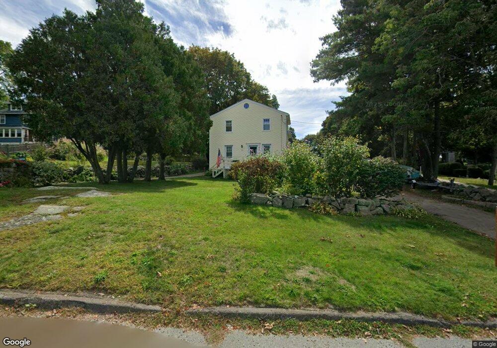
31 Gee Ave Gloucester, MA 01930
Estimated Value: $440,062 - $557,000
2
Beds
1
Bath
991
Sq Ft
$515/Sq Ft
Est. Value
About This Home
This home is located at 31 Gee Ave, Gloucester, MA 01930 and is currently estimated at $510,016, approximately $514 per square foot. 31 Gee Ave is a home located in Essex County with nearby schools including Beeman Memorial, Ralph B O'maley Middle School, and Gloucester High School.
Ownership History
Date
Name
Owned For
Owner Type
Purchase Details
Closed on
Apr 4, 2022
Sold by
Morse Stephen and Morse John R
Bought by
Morse Cynthia and Morse John R
Current Estimated Value
Purchase Details
Closed on
Dec 12, 2012
Sold by
Morse Marjorie M
Bought by
Morse Stephen and Morse John R
Create a Home Valuation Report for This Property
The Home Valuation Report is an in-depth analysis detailing your home's value as well as a comparison with similar homes in the area
Purchase History
| Date | Buyer | Sale Price | Title Company |
|---|---|---|---|
| Morse Cynthia | $133,400 | None Available | |
| Morse Stephen | -- | -- |
Source: Public Records
Mortgage History
| Date | Status | Borrower | Loan Amount |
|---|---|---|---|
| Previous Owner | Morse Stephen | $9,545 |
Source: Public Records
Tax History
| Year | Tax Paid | Tax Assessment Tax Assessment Total Assessment is a certain percentage of the fair market value that is determined by local assessors to be the total taxable value of land and additions on the property. | Land | Improvement |
|---|---|---|---|---|
| 2025 | $2,348 | $241,600 | $162,500 | $79,100 |
| 2024 | $2,276 | $233,900 | $154,800 | $79,100 |
| 2023 | $2,219 | $209,500 | $138,200 | $71,300 |
| 2022 | $2,250 | $191,800 | $120,200 | $71,600 |
| 2021 | $2,188 | $175,900 | $109,300 | $66,600 |
| 2020 | $2,152 | $174,500 | $109,300 | $65,200 |
| 2019 | $2,123 | $167,300 | $109,300 | $58,000 |
| 2018 | $2,128 | $164,600 | $109,300 | $55,300 |
| 2017 | $2,076 | $157,400 | $104,100 | $53,300 |
| 2016 | $2,133 | $156,700 | $108,600 | $48,100 |
| 2015 | $2,139 | $156,700 | $108,600 | $48,100 |
Source: Public Records
Map
Nearby Homes
- 3 Deacon Farm Ln
- 31 Echo Ave
- 2 Breezy Point Rd
- 672 Washington St
- 13 Honeysuckle Rd
- 13 Mystic Ave
- 8 Mystic Ave
- 98 Maplewood Ave
- 6 Monroe Ct
- 12 Arthur St
- 9 Cleveland Place
- 40 Sargent St
- 167 Atlantic St
- 19 Trask St Unit 2
- 178 Atlantic St
- 226 Atlantic St
- 50 Warner St
- 113 Pleasant St
- 33 Maplewood Ave Unit 310
- 15 Mount Vernon St
Your Personal Tour Guide
Ask me questions while you tour the home.