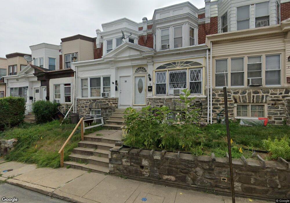
31 Golf Rd Upper Darby, PA 19082
Estimated Value: $177,000 - $216,000
3
Beds
1
Bath
1,380
Sq Ft
$140/Sq Ft
Est. Value
About This Home
This home is located at 31 Golf Rd, Upper Darby, PA 19082 and is currently estimated at $193,421, approximately $140 per square foot. 31 Golf Rd is a home located in Delaware County with nearby schools including Upper Darby Kdg Center, Charles Kelly El School, and Upper Darby High School.
Ownership History
Date
Name
Owned For
Owner Type
Purchase Details
Closed on
Sep 7, 2007
Sold by
Mccorkell Robert
Bought by
Roberts Keith and Roberts Janet
Current Estimated Value
Home Financials for this Owner
Home Financials are based on the most recent Mortgage that was taken out on this home.
Original Mortgage
$90,630
Outstanding Balance
$57,353
Interest Rate
6.65%
Mortgage Type
Purchase Money Mortgage
Estimated Equity
$136,068
Purchase Details
Closed on
Jan 31, 2002
Sold by
Mccorkell Andrew N and Estate Of Sarah K Mccorkell
Bought by
Mccorkell Robert
Home Financials for this Owner
Home Financials are based on the most recent Mortgage that was taken out on this home.
Original Mortgage
$36,800
Interest Rate
10%
Mortgage Type
Purchase Money Mortgage
Create a Home Valuation Report for This Property
The Home Valuation Report is an in-depth analysis detailing your home's value as well as a comparison with similar homes in the area
Home Values in the Area
Average Home Value in this Area
Purchase History
| Date | Buyer | Sale Price | Title Company |
|---|---|---|---|
| Roberts Keith | $95,400 | None Available | |
| Mccorkell Robert | $46,000 | Commonwealth Land Title Ins |
Source: Public Records
Mortgage History
| Date | Status | Borrower | Loan Amount |
|---|---|---|---|
| Open | Roberts Keith | $90,630 | |
| Previous Owner | Mccorkell Robert | $36,800 |
Source: Public Records
Tax History
| Year | Tax Paid | Tax Assessment Tax Assessment Total Assessment is a certain percentage of the fair market value that is determined by local assessors to be the total taxable value of land and additions on the property. | Land | Improvement |
|---|---|---|---|---|
| 2025 | $3,589 | $84,870 | $19,660 | $65,210 |
| 2024 | $3,589 | $84,870 | $19,660 | $65,210 |
| 2023 | $3,555 | $84,870 | $19,660 | $65,210 |
| 2022 | $3,460 | $84,870 | $19,660 | $65,210 |
| 2021 | $4,665 | $84,870 | $19,660 | $65,210 |
| 2020 | $3,104 | $47,980 | $12,290 | $35,690 |
| 2019 | $3,049 | $47,980 | $12,290 | $35,690 |
| 2018 | $3,014 | $47,980 | $0 | $0 |
| 2017 | $2,936 | $47,980 | $0 | $0 |
| 2016 | $263 | $47,980 | $0 | $0 |
| 2015 | $263 | $47,980 | $0 | $0 |
| 2014 | $263 | $47,980 | $0 | $0 |
Source: Public Records
Map
Nearby Homes
- 35 N State Rd
- 7517 Parkview Rd
- 107 S Keystone Ave
- 129 S Keystone Ave
- 7425 Rogers Ave
- 7603 W Chester Pike
- 41 N Keystone Ave
- 15 Kenmore Rd
- 77 N Keystone Ave
- 512 Fairfield Ave
- 101 N Pennock Ave
- 38 Copley Rd
- 7281 Walnut St
- 7124 Pennsylvania Ave
- 1314 Farrington Rd
- 7920 W Chester Pike
- 1304 N 76th St
- 7649 Malvern Ave
- 212 Huntley Rd
- 232 Long Ln
Your Personal Tour Guide
Ask me questions while you tour the home.