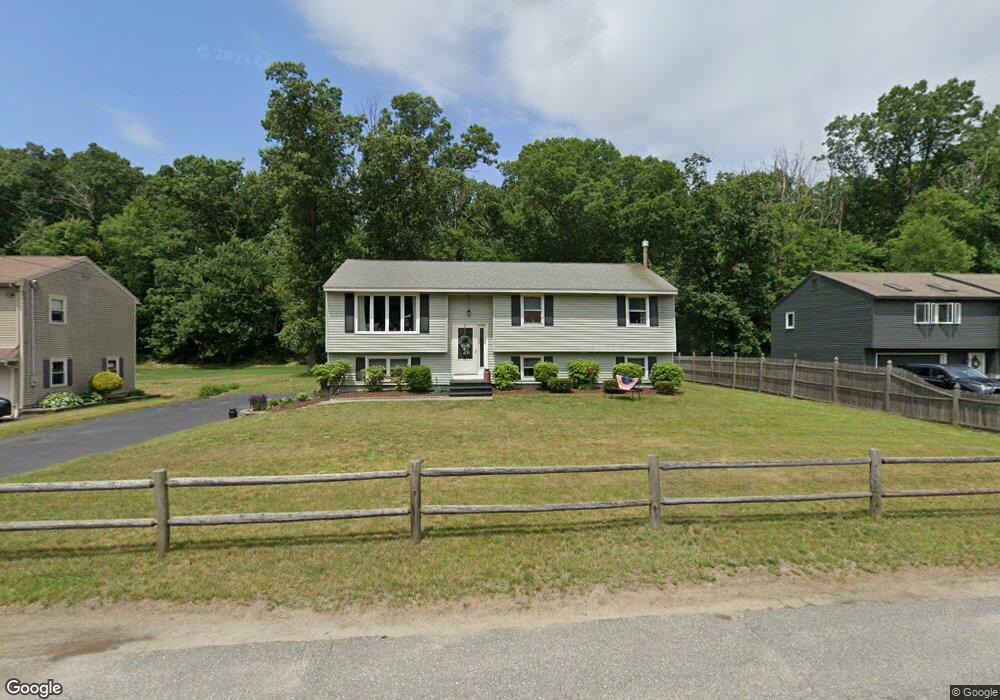
31 Gover Rd Millbury, MA 01527
Estimated Value: $496,025 - $525,000
4
Beds
2
Baths
1,190
Sq Ft
$430/Sq Ft
Est. Value
About This Home
This home is located at 31 Gover Rd, Millbury, MA 01527 and is currently estimated at $512,256, approximately $430 per square foot. 31 Gover Rd is a home located in Worcester County with nearby schools including Elmwood Street Elementary School, Raymond E. Shaw Elementary School, and Millbury Junior/Senior High School.
Ownership History
Date
Name
Owned For
Owner Type
Purchase Details
Closed on
May 9, 2023
Sold by
Beckwith Robert W and Beckwith Donna M
Bought by
Beckwith Ft and Beckwith
Current Estimated Value
Purchase Details
Closed on
Jan 30, 1992
Sold by
Mattos Joseph A and Mattos Janet
Bought by
Beckwith Robert and Beckwith Donna M
Home Financials for this Owner
Home Financials are based on the most recent Mortgage that was taken out on this home.
Original Mortgage
$120,600
Interest Rate
8.44%
Mortgage Type
Purchase Money Mortgage
Create a Home Valuation Report for This Property
The Home Valuation Report is an in-depth analysis detailing your home's value as well as a comparison with similar homes in the area
Home Values in the Area
Average Home Value in this Area
Purchase History
| Date | Buyer | Sale Price | Title Company |
|---|---|---|---|
| Beckwith Ft | -- | None Available | |
| Beckwith Ft | -- | None Available | |
| Beckwith Robert | $134,000 | -- | |
| Beckwith Robert | $134,000 | -- |
Source: Public Records
Mortgage History
| Date | Status | Borrower | Loan Amount |
|---|---|---|---|
| Previous Owner | Beckwith Robert | $115,000 | |
| Previous Owner | Beckwith Robert | $119,500 | |
| Previous Owner | Beckwith Robert | $120,600 |
Source: Public Records
Tax History Compared to Growth
Tax History
| Year | Tax Paid | Tax Assessment Tax Assessment Total Assessment is a certain percentage of the fair market value that is determined by local assessors to be the total taxable value of land and additions on the property. | Land | Improvement |
|---|---|---|---|---|
| 2025 | $6,106 | $456,000 | $120,400 | $335,600 |
| 2024 | $5,602 | $423,400 | $111,500 | $311,900 |
| 2023 | $5,150 | $356,400 | $78,200 | $278,200 |
| 2022 | $4,787 | $319,100 | $78,200 | $240,900 |
| 2021 | $4,706 | $305,000 | $78,200 | $226,800 |
| 2020 | $4,830 | $315,100 | $78,200 | $236,900 |
| 2019 | $4,570 | $288,300 | $77,800 | $210,500 |
| 2018 | $4,513 | $276,200 | $77,800 | $198,400 |
| 2017 | $4,114 | $250,400 | $77,800 | $172,600 |
| 2016 | $3,863 | $234,700 | $77,800 | $156,900 |
| 2015 | $3,789 | $230,200 | $79,100 | $151,100 |
| 2014 | $3,697 | $216,200 | $82,700 | $133,500 |
Source: Public Records
Map
Nearby Homes
- 123 Riverlin St
- 64 Millbury Ave
- 90 Macarthur Dr
- 15 Rayburn Dr
- 3 May St
- 12 Alstead Path
- 52 Clearview Terrace Unit 39
- 2 Diane St
- 17 Atwood Ave
- 86 Wheelock Ave
- 20 Woodridge Rd
- 11 Westview Ave
- 1 Broadmeadow Ave
- 1 Pineland Ave
- 30 Lexington Rd
- 15 Clearview Terrace Unit 68
- 12 Irene Ct
- 16 Jackie Dr
- Lot 1 Cooper Rd
- 40 River St