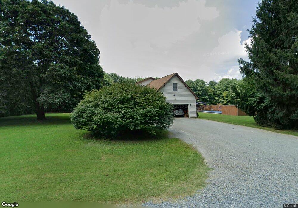
31 Groff Farm Ln Conowingo, MD 21918
Estimated Value: $419,000 - $640,000
--
Bed
2
Baths
2,592
Sq Ft
$195/Sq Ft
Est. Value
About This Home
This home is located at 31 Groff Farm Ln, Conowingo, MD 21918 and is currently estimated at $505,756, approximately $195 per square foot. 31 Groff Farm Ln is a home located in Cecil County with nearby schools including Conowingo Elementary School, Perryville Middle School, and Perryville High School.
Ownership History
Date
Name
Owned For
Owner Type
Purchase Details
Closed on
Sep 29, 1983
Sold by
Holland Acres, Inc.
Bought by
Welch Michael L and Welch Pamela J
Current Estimated Value
Home Financials for this Owner
Home Financials are based on the most recent Mortgage that was taken out on this home.
Original Mortgage
$11,200
Interest Rate
13.72%
Purchase Details
Closed on
Nov 20, 1980
Sold by
Litzenberg, A C & Son Realty Corp
Bought by
Holland Acres, Inc.
Home Financials for this Owner
Home Financials are based on the most recent Mortgage that was taken out on this home.
Original Mortgage
$2,249
Interest Rate
14.18%
Create a Home Valuation Report for This Property
The Home Valuation Report is an in-depth analysis detailing your home's value as well as a comparison with similar homes in the area
Home Values in the Area
Average Home Value in this Area
Purchase History
| Date | Buyer | Sale Price | Title Company |
|---|---|---|---|
| Welch Michael L | $12,500 | -- | |
| Holland Acres, Inc. | $2,800 | -- |
Source: Public Records
Mortgage History
| Date | Status | Borrower | Loan Amount |
|---|---|---|---|
| Closed | Welch Michael L | $11,200 | |
| Previous Owner | Holland Acres, Inc. | $2,249 |
Source: Public Records
Tax History Compared to Growth
Tax History
| Year | Tax Paid | Tax Assessment Tax Assessment Total Assessment is a certain percentage of the fair market value that is determined by local assessors to be the total taxable value of land and additions on the property. | Land | Improvement |
|---|---|---|---|---|
| 2025 | $3,095 | $284,067 | $0 | $0 |
| 2024 | $2,633 | $270,633 | $0 | $0 |
| 2023 | $2,201 | $257,200 | $92,000 | $165,200 |
| 2022 | $2,922 | $254,133 | $0 | $0 |
| 2021 | $2,863 | $251,067 | $0 | $0 |
| 2020 | $2,920 | $248,000 | $92,000 | $156,000 |
| 2019 | $2,900 | $246,267 | $0 | $0 |
| 2018 | $2,880 | $244,533 | $0 | $0 |
| 2017 | $2,860 | $242,800 | $0 | $0 |
| 2016 | $2,696 | $240,933 | $0 | $0 |
| 2015 | $2,696 | $239,067 | $0 | $0 |
| 2014 | $2,902 | $237,200 | $0 | $0 |
Source: Public Records
Map
Nearby Homes
- 52 Craig Ct
- TBD Rowland Dr
- 145 Honeysuckle Dr
- 176 Rowland Rd
- 91 Honeysuckle Dr
- TBD Pine Needle Ct
- 0 Liberty Grove Rd Unit MDCC2015324
- 84 Clematis Way
- TBD White Spruce Way
- 1668 Colora Rd
- 21 Country Ln
- 0 Waibel Rd
- Danville II Plan at Liberty Grove
- Nottingham Plan at Liberty Grove
- Sussex Plan at Liberty Grove
- Jefferson Plan at Liberty Grove
- Rehoboth Plan at Liberty Grove
- Sacramento Plan at Liberty Grove
- Brandywine Plan at Liberty Grove
- 859 Doctor Jack Rd
- 867 Doctor Jack Rd
- 38 Groff Farm Ln
- 847 Doctor Jack Rd
- 875 Doctor Jack Rd
- 0 Groff Farm Rd
- 51 Groff Farm Ln
- 881 Doctor Jack Rd
- 829 Doctor Jack Rd
- 823 Doctor Jack Rd
- 60 Groff Farm Ln
- Groff Farm Ln
- 20 Dutch Dr
- 28 Dutch Dr
- 36 Dutch Dr
- 828 Doctor Jack Rd
- 88 Groff Farm Ln
- 73 Groff Farm Ln
- 75 Groff Farm Ln
- 913 Doctor Jack Rd