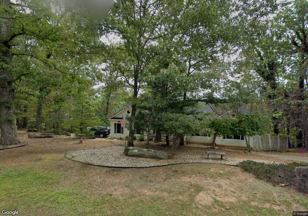
31 Highview Ln Dahlonega, GA 30533
Estimated Value: $446,935 - $689,000
--
Bed
3
Baths
3,192
Sq Ft
$187/Sq Ft
Est. Value
About This Home
This home is located at 31 Highview Ln, Dahlonega, GA 30533 and is currently estimated at $596,484, approximately $186 per square foot. 31 Highview Ln is a home located in Lumpkin County with nearby schools including Clay County Middle School and Lumpkin County High School.
Ownership History
Date
Name
Owned For
Owner Type
Purchase Details
Closed on
Jul 13, 2006
Sold by
Not Provided
Bought by
Balkstra Marlon
Current Estimated Value
Home Financials for this Owner
Home Financials are based on the most recent Mortgage that was taken out on this home.
Original Mortgage
$80,000
Interest Rate
6.6%
Mortgage Type
New Conventional
Purchase Details
Closed on
Sep 15, 1998
Sold by
Chesley N
Bought by
Wiger Leslie T
Purchase Details
Closed on
Oct 27, 1997
Sold by
Zahalka Leona O
Bought by
Biggs Kathryn
Purchase Details
Closed on
Jun 5, 1997
Sold by
High Shoals Dev Corp
Bought by
Zahalka Leona O
Purchase Details
Closed on
Sep 19, 1995
Bought by
High Shoals Dev Corp
Create a Home Valuation Report for This Property
The Home Valuation Report is an in-depth analysis detailing your home's value as well as a comparison with similar homes in the area
Home Values in the Area
Average Home Value in this Area
Purchase History
| Date | Buyer | Sale Price | Title Company |
|---|---|---|---|
| Balkstra Marlon | -- | -- | |
| Balkstra Marlon | $295,000 | -- | |
| Wiger Leslie T | -- | -- | |
| Biggs Kathryn | $22,000 | -- | |
| Zahalka Leona O | $16,500 | -- | |
| High Shoals Dev Corp | -- | -- |
Source: Public Records
Mortgage History
| Date | Status | Borrower | Loan Amount |
|---|---|---|---|
| Closed | Balkstra Marlon | $80,000 |
Source: Public Records
Tax History Compared to Growth
Tax History
| Year | Tax Paid | Tax Assessment Tax Assessment Total Assessment is a certain percentage of the fair market value that is determined by local assessors to be the total taxable value of land and additions on the property. | Land | Improvement |
|---|---|---|---|---|
| 2024 | $3,744 | $161,167 | $11,200 | $149,967 |
| 2023 | $3,120 | $152,220 | $11,200 | $141,020 |
| 2022 | $3,475 | $142,360 | $11,200 | $131,160 |
| 2021 | $3,014 | $119,750 | $11,200 | $108,550 |
| 2020 | $3,039 | $117,182 | $11,200 | $105,982 |
| 2019 | $3,066 | $117,182 | $11,200 | $105,982 |
| 2018 | $2,893 | $103,969 | $11,200 | $92,769 |
| 2017 | $2,846 | $100,366 | $11,200 | $89,166 |
| 2016 | $2,747 | $93,852 | $11,200 | $82,652 |
| 2015 | $2,476 | $93,852 | $11,200 | $82,652 |
| 2014 | $2,476 | $95,901 | $11,200 | $84,701 |
| 2013 | -- | $96,940 | $11,200 | $85,740 |
Source: Public Records
Map
Nearby Homes
- 64 Highview Ln
- 1063 Grindle Bridge Rd
- 45 Chestatee River Ridge
- 651 Hester Rd
- 349 Hester Rd
- 313 Hester Rd
- 16 Welch Cir
- 0 Hester Rd Unit 7591226
- 0 Waterfall Dr Unit 9 10472076
- 31 Valhalla Dr
- 55 Santa Pera Dr
- 0 Valhalla Dr Unit 10640791
- 242 Hooper Rd
- 0 Horseshoe Bend Rd Unit 10571975
- 0 Horseshoe Bend Rd Unit 7620338
- 3395 Asbury Mill Rd
- 410 Whiskey Still Dr
- 925 Horseshoe Bend Rd
- 120 Brewer Rd
- 174 Leighs Crossing
- 34 Highview Ln
- 412 High Shoals Dr
- 185 High Shoals Dr
- 0 River Rock Dr Unit 5925239
- 0 River Rock Dr Unit 8,9,9A 8277828
- 0 River Rock Dr Unit 3144603
- 0 River Rock Dr Unit 8/9-A 3231346
- 0 River Rock Dr Unit 3249601
- 0 River Rock Dr Unit 13 7040194
- 0 River Rock Dr Unit L 13 7136899
- 0 River Rock Dr Unit 13 7222173
- 0 River Rock Dr Unit 13 7336501
- 0 River Rock Dr Unit 13 7583505
- 0 River Rock Dr Unit 13 8082529
- 0 River Rock Dr
- 0 River Rock Dr Unit 7186898
- 28 River Rock Dr
- L13 River Rock Dr
- L30 River Rock Dr
- 4950 High Shoals Dr