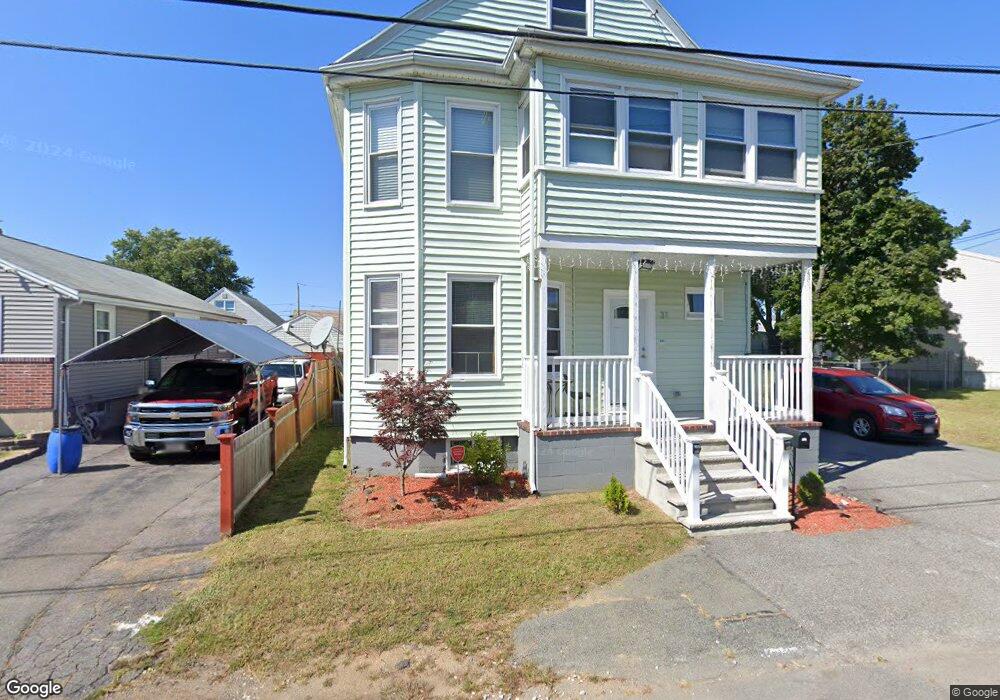
31 Houston Ave Unit 1 Saugus, MA 01906
Cliftondale NeighborhoodEstimated Value: $774,000 - $912,000
2
Beds
1
Bath
900
Sq Ft
$933/Sq Ft
Est. Value
About This Home
This home is located at 31 Houston Ave Unit 1, Saugus, MA 01906 and is currently estimated at $839,468, approximately $932 per square foot. 31 Houston Ave Unit 1 is a home located in Essex County with nearby schools including Saugus High School and Sacred Heart School.
Ownership History
Date
Name
Owned For
Owner Type
Purchase Details
Closed on
Dec 7, 2012
Sold by
Asset Recovery Mgmt Sv
Bought by
North Ventures Inc
Current Estimated Value
Home Financials for this Owner
Home Financials are based on the most recent Mortgage that was taken out on this home.
Original Mortgage
$265,000
Outstanding Balance
$184,378
Interest Rate
3.46%
Mortgage Type
New Conventional
Estimated Equity
$655,090
Purchase Details
Closed on
Apr 6, 2009
Sold by
Muise Alfred K
Bought by
Muise John Richard
Create a Home Valuation Report for This Property
The Home Valuation Report is an in-depth analysis detailing your home's value as well as a comparison with similar homes in the area
Home Values in the Area
Average Home Value in this Area
Purchase History
| Date | Buyer | Sale Price | Title Company |
|---|---|---|---|
| North Ventures Inc | $206,000 | -- | |
| Muise John Richard | -- | -- |
Source: Public Records
Mortgage History
| Date | Status | Borrower | Loan Amount |
|---|---|---|---|
| Open | Muise John Richard | $55,000 | |
| Open | North Ventures Inc | $265,000 |
Source: Public Records
Tax History Compared to Growth
Tax History
| Year | Tax Paid | Tax Assessment Tax Assessment Total Assessment is a certain percentage of the fair market value that is determined by local assessors to be the total taxable value of land and additions on the property. | Land | Improvement |
|---|---|---|---|---|
| 2025 | $8,038 | $752,600 | $278,900 | $473,700 |
| 2024 | $7,543 | $708,300 | $253,500 | $454,800 |
| 2023 | $7,244 | $643,300 | $228,200 | $415,100 |
| 2022 | $6,748 | $561,900 | $208,700 | $353,200 |
| 2021 | $6,422 | $520,400 | $181,700 | $338,700 |
| 2020 | $5,993 | $502,800 | $173,200 | $329,600 |
| 2019 | $5,436 | $446,300 | $156,300 | $290,000 |
| 2018 | $4,707 | $406,500 | $152,100 | $254,400 |
| 2017 | $4,261 | $353,600 | $142,000 | $211,600 |
| 2016 | $3,193 | $261,700 | $134,300 | $127,400 |
| 2015 | $2,995 | $249,200 | $127,900 | $121,300 |
| 2014 | $3,020 | $260,100 | $127,900 | $132,200 |
Source: Public Records
Map
Nearby Homes
- 9 Spencer Ave
- 44 Ballard St
- 24 Ballard St
- 0 Hampton St
- 62 Chestnut St Unit 4
- 62 Chestnut St Unit 2
- 9 Douglas Rd
- 14 River Street Place
- 9 Needhams Landing
- 29 Fenton Ave
- 28 Margin St Unit A
- 5 Stanley Terrace
- 771 Boston St
- 3 River Street Ct
- 725 Boston St
- 20 Houston St
- 5 Springdale Ave
- 79 Laurel St
- 17 Elaine Ave
- 86 Laurel St
- 31 Houston Ave
- 31 Houston Ave Unit 2
- 29 Houston Ave
- 27 Houston Ave
- 32 Spencer Ave
- 33 Houston Ave
- 30 Spencer Ave
- 30 Houston Ave
- 25 Houston Ave
- 28 Houston Ave
- 36 Houston Ave
- 36 Spencer Ave
- 23 Houston Ave
- 24 Spencer Ave
- 12 Milton St
- 10 Huron St Unit 2
- 10 Huron St Unit 12
- 39 Houston Ave
- 29 Spencer Ave
- 38 Spencer Ave