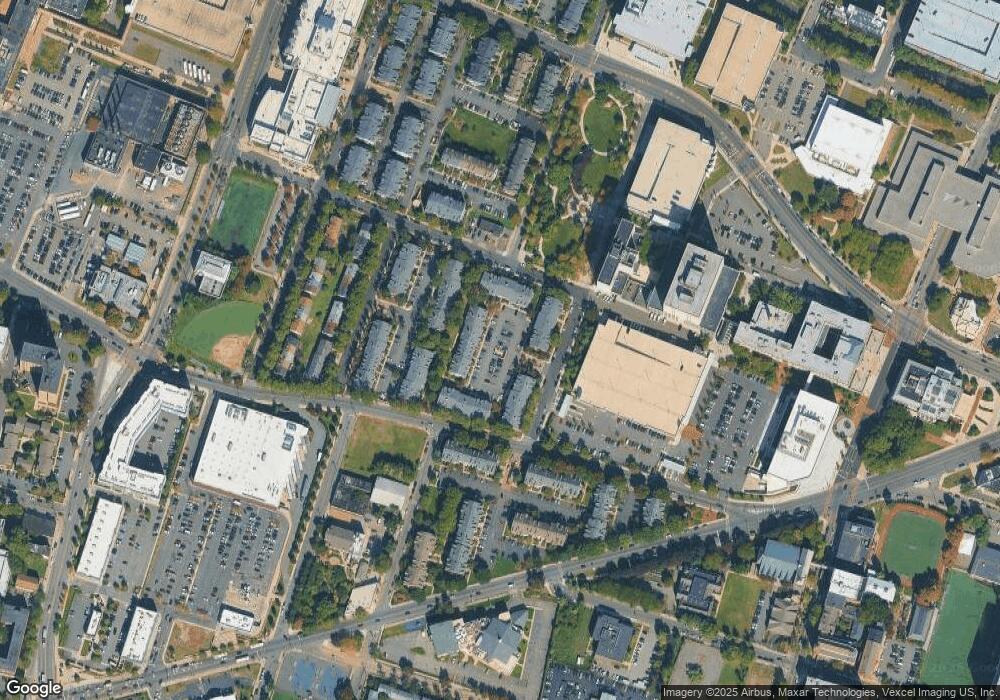
31 Howard Ct Unit 8F Newark, NJ 07103
University Heights NeighborhoodEstimated Value: $349,000 - $376,000
--
Bed
--
Bath
1,167
Sq Ft
$306/Sq Ft
Est. Value
About This Home
This home is located at 31 Howard Ct Unit 8F, Newark, NJ 07103 and is currently estimated at $357,318, approximately $306 per square foot. 31 Howard Ct Unit 8F is a home located in Essex County with nearby schools including Sir Isaac Newton Elementary School, Camden Street Elementary School, and Cleveland Elementary School.
Ownership History
Date
Name
Owned For
Owner Type
Purchase Details
Closed on
Aug 14, 2009
Sold by
Deutsche Bank National Trust Company
Bought by
Charles Stephanie
Current Estimated Value
Home Financials for this Owner
Home Financials are based on the most recent Mortgage that was taken out on this home.
Original Mortgage
$154,560
Outstanding Balance
$100,774
Interest Rate
5.21%
Mortgage Type
New Conventional
Estimated Equity
$256,544
Purchase Details
Closed on
May 18, 2009
Sold by
Boyd Lamouria
Bought by
Deutsche Bank National Trust Company
Purchase Details
Closed on
Feb 25, 2003
Sold by
Mcmillian Linda
Bought by
Boyd Lamouria
Home Financials for this Owner
Home Financials are based on the most recent Mortgage that was taken out on this home.
Original Mortgage
$135,800
Interest Rate
5.95%
Mortgage Type
Purchase Money Mortgage
Create a Home Valuation Report for This Property
The Home Valuation Report is an in-depth analysis detailing your home's value as well as a comparison with similar homes in the area
Home Values in the Area
Average Home Value in this Area
Purchase History
| Date | Buyer | Sale Price | Title Company |
|---|---|---|---|
| Charles Stephanie | $168,000 | None Available | |
| Deutsche Bank National Trust Company | $136,500 | Land Title Svcs Of Nj Inc | |
| Boyd Lamouria | $140,000 | -- |
Source: Public Records
Mortgage History
| Date | Status | Borrower | Loan Amount |
|---|---|---|---|
| Open | Charles Stephanie | $154,560 | |
| Previous Owner | Boyd Lamouria | $135,800 |
Source: Public Records
Tax History Compared to Growth
Tax History
| Year | Tax Paid | Tax Assessment Tax Assessment Total Assessment is a certain percentage of the fair market value that is determined by local assessors to be the total taxable value of land and additions on the property. | Land | Improvement |
|---|---|---|---|---|
| 2025 | $5,969 | $160,100 | $35,000 | $125,100 |
| 2024 | $5,969 | $160,100 | $35,000 | $125,100 |
| 2022 | $5,981 | $160,100 | $35,000 | $125,100 |
| 2021 | $5,978 | $160,100 | $35,000 | $125,100 |
| 2020 | $6,084 | $160,100 | $35,000 | $125,100 |
| 2019 | $6,021 | $35,000 | $35,000 | $0 |
| 2018 | $957 | $35,000 | $35,000 | $0 |
| 2017 | $1,246 | $35,000 | $35,000 | $0 |
| 2016 | $1,204 | $35,000 | $35,000 | $0 |
| 2015 | $1,158 | $35,000 | $35,000 | $0 |
| 2014 | $1,085 | $35,000 | $35,000 | $0 |
Source: Public Records
Map
Nearby Homes
- 29 Howard Ct
- 47 Howard Ct
- 48 Howard Ct
- 43 Howard Ct Unit 904
- 43 Howard Ct
- 5 Rider Ct
- 12 Rider Ct
- 11 Seton Hall Dr
- 6 Rutgers Dr
- 42 Vaughan Dr
- 42 Vaughan Dr Unit 42
- 28 Vaughan Dr
- 49B Wickliffe St
- 56 Yancy Dr
- 91 Callahan Ct
- 56 Marrow St
- 589 Martin Luther Kng Jr Blvd
- 589 Doctor Martin Luther King Junior Blvd
- 303 Morris Ave
- 281 Morris Ave
- 48 Howard Ct Unit 709
- 34 Howard Ct Unit 1
- 68 Boston St Unit 220
- 33 Howard Ct Unit 33
- 31 Howard Ct Unit 31 Howard Court
- 13 Howard Ct Unit E
- 22 Howard Ct
- 22 Howard Ct Unit 22
- 8 Howard Ct Unit 5P
- 51 Howard St
- 53 Howard St
- 30 Howard Ct
- 65 Howard St
- 27 Howard Ct
- 32 Howard Ct
- 33 Howard Ct
- 34 Howard Ct
- 35 Howard Ct
- 36 Howard Ct
- 96 13th Ave
