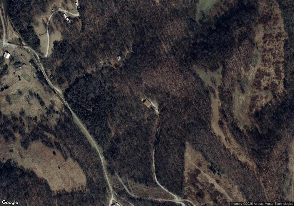
31 Jonesboro Ln Elmwood, TN 38560
Estimated Value: $468,362 - $577,000
--
Bed
2
Baths
1,540
Sq Ft
$337/Sq Ft
Est. Value
About This Home
This home is located at 31 Jonesboro Ln, Elmwood, TN 38560 and is currently estimated at $518,341, approximately $336 per square foot. 31 Jonesboro Ln is a home located in Smith County with nearby schools including Forks River Elementary School, Smith County Middle School, and Smith County High School.
Ownership History
Date
Name
Owned For
Owner Type
Purchase Details
Closed on
Apr 28, 2015
Sold by
Hogan Maureen Louise
Bought by
Maloy Michael S and Maloy Donna R
Current Estimated Value
Home Financials for this Owner
Home Financials are based on the most recent Mortgage that was taken out on this home.
Original Mortgage
$186,648
Outstanding Balance
$144,410
Interest Rate
3.8%
Mortgage Type
New Conventional
Estimated Equity
$373,931
Purchase Details
Closed on
Mar 28, 2002
Sold by
Terry Lafever
Bought by
Hogan Maureen L
Purchase Details
Closed on
Oct 16, 1998
Sold by
Dean Kenneth G
Bought by
Terry Lafever
Purchase Details
Closed on
May 24, 1997
Bought by
Dean Kenneth G and Dean Geraldine L
Create a Home Valuation Report for This Property
The Home Valuation Report is an in-depth analysis detailing your home's value as well as a comparison with similar homes in the area
Home Values in the Area
Average Home Value in this Area
Purchase History
| Date | Buyer | Sale Price | Title Company |
|---|---|---|---|
| Maloy Michael S | $230,000 | -- | |
| Hogan Maureen L | $166,000 | -- | |
| Terry Lafever | $45,000 | -- | |
| Dean Kenneth G | $27,700 | -- |
Source: Public Records
Mortgage History
| Date | Status | Borrower | Loan Amount |
|---|---|---|---|
| Open | Maloy Michael S | $186,648 |
Source: Public Records
Tax History Compared to Growth
Tax History
| Year | Tax Paid | Tax Assessment Tax Assessment Total Assessment is a certain percentage of the fair market value that is determined by local assessors to be the total taxable value of land and additions on the property. | Land | Improvement |
|---|---|---|---|---|
| 2024 | $1,455 | $83,975 | $8,225 | $75,750 |
| 2023 | $1,455 | $83,975 | $0 | $0 |
| 2022 | $1,455 | $83,975 | $8,225 | $75,750 |
| 2021 | $1,269 | $51,150 | $6,175 | $44,975 |
| 2020 | $1,396 | $51,150 | $6,175 | $44,975 |
| 2019 | $1,396 | $51,150 | $6,175 | $44,975 |
| 2018 | $1,095 | $51,150 | $6,175 | $44,975 |
| 2017 | $1,095 | $51,150 | $6,175 | $44,975 |
| 2016 | $1,140 | $49,150 | $6,225 | $42,925 |
| 2015 | $1,140 | $49,150 | $6,225 | $42,925 |
| 2014 | -- | $49,150 | $6,225 | $42,925 |
Source: Public Records
Map
Nearby Homes
- 216 Sullivan Bend Rd
- 13 Grisham Hollow Ln
- 0 Maggart Rd
- 560 Sullivan Bend Rd
- 14 Cordell Hull Ln
- 0 Sullivans Bend Rd
- 670 Cookeville Hwy
- 672 Sullivan Bend Rd
- 49 Duck Hollow Rd
- 0 Stonewall Hwy
- 1 Horseshoe Bend Rd
- 0 Sullivan Bend Rd
- 213 Pea Ridge Rd
- 89 Ouchonder Rd
- 560 Pea Ridge Rd
- 185 Stonewall Hwy
- 552 Pea Ridge Rd
- 0 Granville Hwy Unit RTC2929183
- 0 Granville Hwy Unit RTC2975023
- 0 Granville Hwy Unit RTC2929181
- 14 Diana Ln
- 23 Jonesboro Ln
- 53 Jonesboro Ln
- 2 Lake Hollow Ln
- 22 Lake Hollow Ln
- 1 Lake Hollow Ln
- 146 Sullivan Bend Rd
- 0 Grisham Hollow Rd Unit 142641
- 4 Grisham Hollow Rd
- 0 Grisham Hollow Rd Unit 2271472
- 0 Grisham Hollow Rd
- 148 Sullivan Bend Rd
- 13 Wilkerson Lake Ln
- 150 Sullivan Bend Rd
- 33 Jonesboro Ln
- 23 Lake Hollow Ln
- 37 Lake Hollow Ln
- 8 Magee Ln
- 156 Sullivan Bend Rd
- 132 Sullivan Bend Rd
