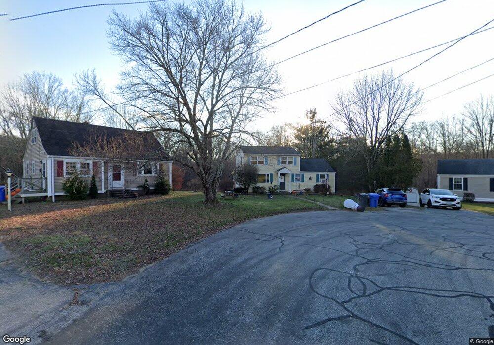
31 Jude Ln Mansfield Center, CT 06250
Estimated Value: $314,000 - $362,154
5
Beds
2
Baths
1,536
Sq Ft
$225/Sq Ft
Est. Value
About This Home
This home is located at 31 Jude Ln, Mansfield Center, CT 06250 and is currently estimated at $345,789, approximately $225 per square foot. 31 Jude Ln is a home located in Tolland County with nearby schools including Annie E. Vinton School, Mansfield Elementary School, and Mansfield Middle School.
Ownership History
Date
Name
Owned For
Owner Type
Purchase Details
Closed on
Jul 27, 1999
Sold by
Single Lawrence and Single Kate
Bought by
Single Libby
Current Estimated Value
Home Financials for this Owner
Home Financials are based on the most recent Mortgage that was taken out on this home.
Original Mortgage
$72,500
Interest Rate
7%
Purchase Details
Closed on
Nov 24, 1992
Sold by
Ginard Christina
Bought by
Single Kate Ann and Single Lawrence
Home Financials for this Owner
Home Financials are based on the most recent Mortgage that was taken out on this home.
Original Mortgage
$83,200
Interest Rate
4.63%
Mortgage Type
Unknown
Create a Home Valuation Report for This Property
The Home Valuation Report is an in-depth analysis detailing your home's value as well as a comparison with similar homes in the area
Home Values in the Area
Average Home Value in this Area
Purchase History
| Date | Buyer | Sale Price | Title Company |
|---|---|---|---|
| Single Libby | $105,000 | -- | |
| Single Libby | $105,000 | -- | |
| Single Kate Ann | $104,000 | -- | |
| Single Kate Ann | $104,000 | -- |
Source: Public Records
Mortgage History
| Date | Status | Borrower | Loan Amount |
|---|---|---|---|
| Closed | Single Kate Ann | $72,500 | |
| Previous Owner | Single Kate Ann | $83,200 | |
| Closed | Single Kate Ann | $32,500 |
Source: Public Records
Tax History Compared to Growth
Tax History
| Year | Tax Paid | Tax Assessment Tax Assessment Total Assessment is a certain percentage of the fair market value that is determined by local assessors to be the total taxable value of land and additions on the property. | Land | Improvement |
|---|---|---|---|---|
| 2025 | $4,218 | $210,900 | $58,900 | $152,000 |
| 2024 | $4,270 | $139,900 | $55,400 | $84,500 |
| 2023 | $4,410 | $139,900 | $55,400 | $84,500 |
| 2022 | $4,250 | $139,900 | $55,400 | $84,500 |
| 2021 | $4,390 | $139,900 | $55,400 | $84,500 |
| 2020 | $4,390 | $139,900 | $55,400 | $84,500 |
| 2019 | $4,453 | $141,900 | $59,400 | $82,500 |
| 2018 | $4,536 | $146,900 | $62,600 | $84,300 |
| 2017 | $4,500 | $146,900 | $62,600 | $84,300 |
| 2016 | $4,388 | $146,900 | $62,600 | $84,300 |
| 2015 | $4,388 | $146,900 | $62,600 | $84,300 |
| 2014 | $4,475 | $160,090 | $66,150 | $93,940 |
Source: Public Records
Map
Nearby Homes
- 58 Candide Ln
- 86 Depot Rd
- 35 Wyllys Farm Rd
- 76 Highland Rd
- 29 Wyllys Farm Rd
- 30 Wyllys Farm Rd
- 37 Wyllys Farm Rd
- 43 Wyllys Farm Rd
- 31 Wyllys Farm Rd
- 28 Armstrong Rd Unit D32
- 81 Stafford Rd
- 27 Briar Cliff Rd
- 77 Woods Rd
- 16 Thornbush Rd
- 16 Thornbush Road Extension
- 807 Pucker St
- 0 Mansfield City Rd Unit LOT 2
- 0 Mansfield City Rd Unit 24089164
- 259 High St
- 634 Stonehouse Rd