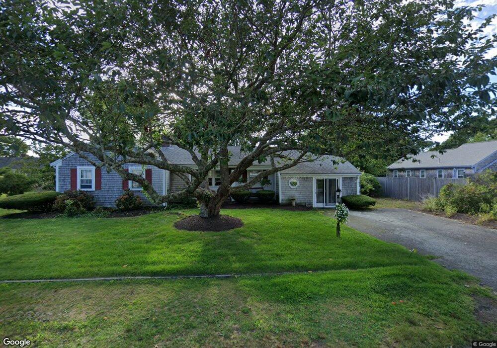
31 Knox Rd Dennis Port, MA 02639
Dennis Port NeighborhoodEstimated Value: $638,000 - $720,000
3
Beds
2
Baths
1,582
Sq Ft
$420/Sq Ft
Est. Value
About This Home
This home is located at 31 Knox Rd, Dennis Port, MA 02639 and is currently estimated at $665,215, approximately $420 per square foot. 31 Knox Rd is a home located in Barnstable County with nearby schools including Dennis-Yarmouth Regional High School and St. Pius X. School.
Create a Home Valuation Report for This Property
The Home Valuation Report is an in-depth analysis detailing your home's value as well as a comparison with similar homes in the area
Home Values in the Area
Average Home Value in this Area
Tax History Compared to Growth
Tax History
| Year | Tax Paid | Tax Assessment Tax Assessment Total Assessment is a certain percentage of the fair market value that is determined by local assessors to be the total taxable value of land and additions on the property. | Land | Improvement |
|---|---|---|---|---|
| 2025 | $2,551 | $589,200 | $129,100 | $460,100 |
| 2024 | $2,579 | $587,500 | $131,500 | $456,000 |
| 2023 | $2,533 | $542,300 | $119,500 | $422,800 |
| 2022 | $2,432 | $434,200 | $119,600 | $314,600 |
| 2021 | $2,227 | $369,300 | $105,500 | $263,800 |
| 2020 | $2,105 | $345,100 | $105,500 | $239,600 |
| 2019 | $1,956 | $317,000 | $103,500 | $213,500 |
| 2018 | $2,943 | $290,400 | $98,500 | $191,900 |
| 2017 | $1,749 | $284,400 | $98,500 | $185,900 |
| 2016 | $1,741 | $266,600 | $109,400 | $157,200 |
| 2015 | $1,706 | $266,600 | $109,400 | $157,200 |
| 2014 | $1,554 | $244,800 | $87,600 | $157,200 |
Source: Public Records
Map
Nearby Homes
- 11 Lane Rd
- 24 Indian Trail
- 78 Upper County Rd Unit A&B
- 78 Upper County Rd
- 91 Depot Rd W
- 9 Country Ln
- 47 Telegraph Rd Unit 1
- 141 Division St
- 141 Division St
- 12 Candlewood Ln Unit 2-9
- 10 Candlewood Ln Unit 2-1
- 537 Depot St
- 20 Aunt Debbys Rd
- 45 Route 28
- 9 Bells Neck Rd Unit 10
- 360 Center St
- 171 Searsville Rd
- 268 Main St
- 116 Searsville Rd
- 40 Willow St