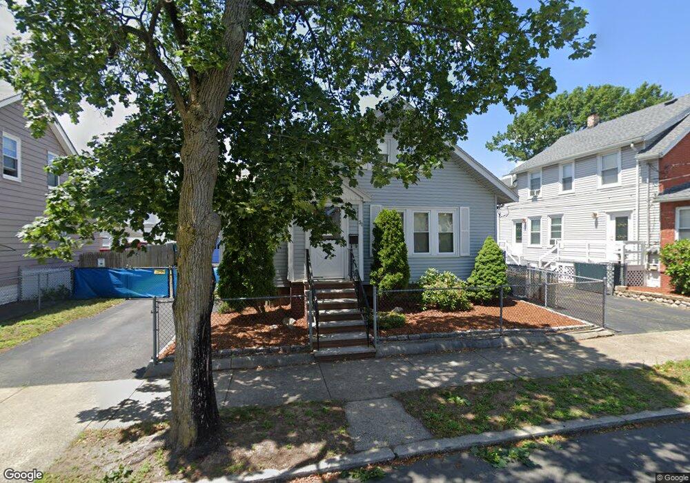
31 Locust St Lynn, MA 01904
Lower Broadway NeighborhoodEstimated Value: $513,000 - $606,000
3
Beds
1
Bath
1,300
Sq Ft
$424/Sq Ft
Est. Value
About This Home
This home is located at 31 Locust St, Lynn, MA 01904 and is currently estimated at $550,980, approximately $423 per square foot. 31 Locust St is a home located in Essex County with nearby schools including Edward A. Sisson Elementary School, William R. Fallon School, and Pickering Middle School.
Ownership History
Date
Name
Owned For
Owner Type
Purchase Details
Closed on
Jul 9, 2003
Sold by
Leuchars Ft
Bought by
Leuchars Keith T
Current Estimated Value
Home Financials for this Owner
Home Financials are based on the most recent Mortgage that was taken out on this home.
Original Mortgage
$97,321
Outstanding Balance
$41,794
Interest Rate
5.28%
Estimated Equity
$509,186
Purchase Details
Closed on
Jul 24, 1997
Sold by
Murphy John F
Bought by
Keuchars Keith T
Home Financials for this Owner
Home Financials are based on the most recent Mortgage that was taken out on this home.
Original Mortgage
$104,500
Interest Rate
7.7%
Mortgage Type
Purchase Money Mortgage
Purchase Details
Closed on
Jan 22, 1993
Sold by
Joseph Dagnese Est
Bought by
Murphy John F
Create a Home Valuation Report for This Property
The Home Valuation Report is an in-depth analysis detailing your home's value as well as a comparison with similar homes in the area
Home Values in the Area
Average Home Value in this Area
Purchase History
| Date | Buyer | Sale Price | Title Company |
|---|---|---|---|
| Leuchars Keith T | -- | -- | |
| Leuchars Keith T | -- | -- | |
| Keuchars Keith T | $110,000 | -- | |
| Keuchars Keith T | $110,000 | -- | |
| Murphy John F | $90,000 | -- | |
| Murphy John F | $90,000 | -- |
Source: Public Records
Mortgage History
| Date | Status | Borrower | Loan Amount |
|---|---|---|---|
| Open | Murphy John F | $97,321 | |
| Previous Owner | Murphy John F | $106,000 | |
| Previous Owner | Murphy John F | $104,500 |
Source: Public Records
Tax History
| Year | Tax Paid | Tax Assessment Tax Assessment Total Assessment is a certain percentage of the fair market value that is determined by local assessors to be the total taxable value of land and additions on the property. | Land | Improvement |
|---|---|---|---|---|
| 2025 | $5,024 | $484,900 | $194,100 | $290,800 |
| 2024 | $4,859 | $461,400 | $189,700 | $271,700 |
| 2023 | $4,711 | $422,500 | $178,300 | $244,200 |
| 2022 | $4,584 | $368,800 | $140,200 | $228,600 |
| 2021 | $4,379 | $336,100 | $141,900 | $194,200 |
| 2020 | $4,193 | $312,900 | $127,900 | $185,000 |
| 2019 | $4,197 | $293,500 | $120,500 | $173,000 |
| 2018 | $3,716 | $245,300 | $112,100 | $133,200 |
| 2017 | $3,554 | $227,800 | $99,000 | $128,800 |
| 2016 | $3,445 | $212,900 | $91,600 | $121,300 |
| 2015 | $3,630 | $216,700 | $97,300 | $119,400 |
Source: Public Records
Map
Nearby Homes
- 2 Chestnut Terrace
- 10 Pond St
- 479 Broadway
- 325 Western Ave
- 345 Western Ave
- 5 Rockingham St
- 198 Locust St Unit 303
- 200 Locust St Unit 706
- 200 Locust St Unit 106
- 12 W Colony Rd
- 70 Grant St
- 135 Allen Ave
- 15 Nichols Ave
- 70 Allen Ave
- 531 A Chatham St
- 199 Allen Ave
- 102 Henry Ave
- 6-8 Beede Ave
- 358 Broadway Unit 20
- 354 Broadway Unit 3
Your Personal Tour Guide
Ask me questions while you tour the home.