31 Long Hill Rd Georgetown, MA 01833
Estimated Value: $911,000 - $1,006,000
4
Beds
3
Baths
2,736
Sq Ft
$353/Sq Ft
Est. Value
About This Home
This home is located at 31 Long Hill Rd, Georgetown, MA 01833 and is currently estimated at $966,831, approximately $353 per square foot. 31 Long Hill Rd is a home located in Essex County with nearby schools including Perley Elementary School, Penn Brook School, and Georgetown High School.
Ownership History
Date
Name
Owned For
Owner Type
Purchase Details
Closed on
Jul 3, 2019
Sold by
Gillis Kristin E and Gillis Stephen J
Bought by
Gillis Stephen J
Current Estimated Value
Home Financials for this Owner
Home Financials are based on the most recent Mortgage that was taken out on this home.
Original Mortgage
$504,000
Outstanding Balance
$439,649
Interest Rate
3.82%
Mortgage Type
New Conventional
Estimated Equity
$527,182
Purchase Details
Closed on
May 10, 2006
Sold by
Rozopoulos Alkibiades
Bought by
Rozopoulos Theonie
Create a Home Valuation Report for This Property
The Home Valuation Report is an in-depth analysis detailing your home's value as well as a comparison with similar homes in the area
Home Values in the Area
Average Home Value in this Area
Purchase History
| Date | Buyer | Sale Price | Title Company |
|---|---|---|---|
| Gillis Stephen J | -- | -- | |
| Rozopoulos Theonie | $650,000 | -- |
Source: Public Records
Mortgage History
| Date | Status | Borrower | Loan Amount |
|---|---|---|---|
| Open | Gillis Stephen J | $504,000 | |
| Previous Owner | Rozopoulos Theonie | $392,500 | |
| Previous Owner | Rozopoulos Theonie | $397,500 | |
| Previous Owner | Rozopoulos Theonie | $400,800 |
Source: Public Records
Tax History Compared to Growth
Tax History
| Year | Tax Paid | Tax Assessment Tax Assessment Total Assessment is a certain percentage of the fair market value that is determined by local assessors to be the total taxable value of land and additions on the property. | Land | Improvement |
|---|---|---|---|---|
| 2025 | $9,767 | $883,100 | $313,200 | $569,900 |
| 2024 | $9,680 | $771,300 | $216,000 | $555,300 |
| 2023 | $9,233 | $711,300 | $216,000 | $495,300 |
| 2022 | $8,958 | $636,200 | $187,900 | $448,300 |
| 2021 | $8,755 | $551,000 | $187,900 | $363,100 |
| 2020 | $8,772 | $551,000 | $187,900 | $363,100 |
| 2019 | $8,635 | $547,200 | $184,100 | $363,100 |
| 2018 | $8,690 | $547,200 | $184,100 | $363,100 |
| 2017 | $8,371 | $516,400 | $184,100 | $332,300 |
| 2016 | $8,087 | $509,600 | $184,100 | $325,500 |
| 2015 | $8,018 | $500,200 | $184,100 | $316,100 |
| 2014 | $7,028 | $500,200 | $184,100 | $316,100 |
Source: Public Records
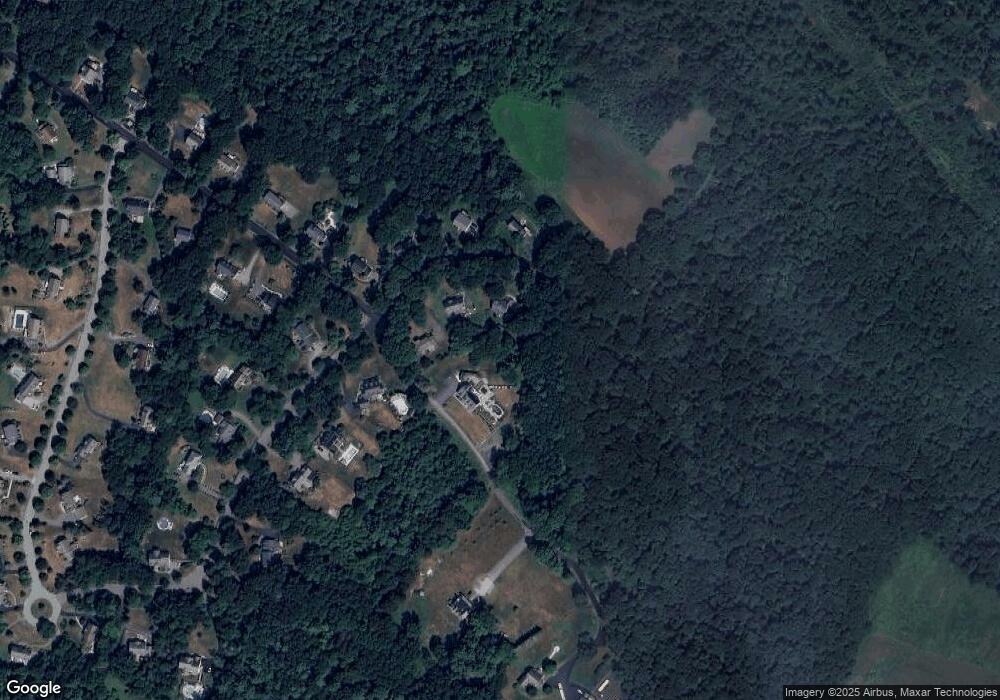
Map
Nearby Homes
- 9 Hawk Way
- 2 & 4 Tenney Ct
- 30 Christa Dr
- 53 Emily Ln
- 76-78 Daniels Rd
- 66 2 Parish Rd
- 18 Larch Rd
- 10 Noyes Rd
- 304-312 Wethersfield St
- 308 & 312 Wethersfield St
- 66 Parish Rd Unit 4
- 5 Charles St
- 6 Winter St
- 52 E Main St
- 34 E Main St Unit 2
- 278 Central St
- 135 Central St
- 4 Coleman Rd
- 480 Newburyport Turnpike
- 51 W Main St Unit 6
- 33 Long Hill Rd
- 31 Long Hill Rd
- 24 Long Hill Rd
- 20 Long Hill Rd
- 2 Red Pine Way
- 26 Long Hill Rd
- 2 Birch Tree Dr
- 18 Long Hill Rd
- 25 Long Hill Rd
- 4 Birch Tree Dr
- 23 Long Hill Rd
- 16 Long Hill Rd
- 1 Birch Tree Dr
- 21 Long Hill Rd
- 6 Birch Tree Dr
- 14 Long Hill Rd
- 3 Birch Tree Dr
- 19 Long Hill Rd
- 9 Red Pine Way
- 12 Long Hill Rd