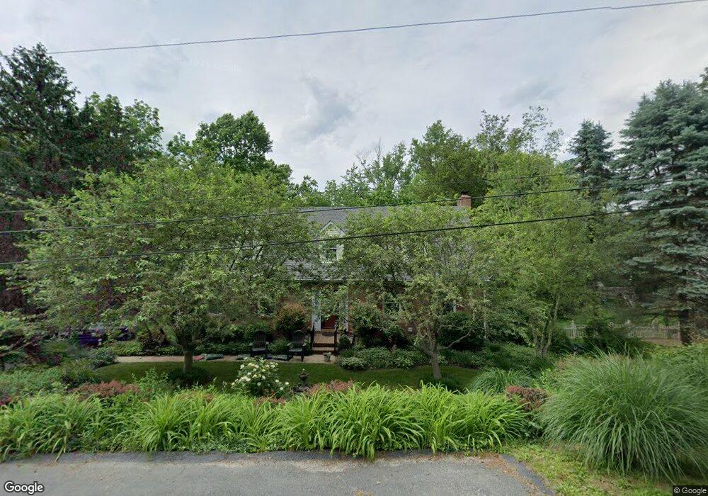
31 Manor Rd York, PA 17403
Tyler Run-Queens Gate NeighborhoodEstimated Value: $415,000 - $457,000
3
Beds
3
Baths
2,504
Sq Ft
$173/Sq Ft
Est. Value
About This Home
This home is located at 31 Manor Rd, York, PA 17403 and is currently estimated at $432,441, approximately $172 per square foot. 31 Manor Rd is a home located in York County with nearby schools including Leaders Heights Elementary School, Dallastown Area Middle School, and Dallastown Area High School.
Ownership History
Date
Name
Owned For
Owner Type
Purchase Details
Closed on
Feb 11, 2009
Sold by
Lloyd Forbes Sally D and Forbes Robert R
Bought by
Lloyd Forbes Sally D and Forbes Robert R
Current Estimated Value
Home Financials for this Owner
Home Financials are based on the most recent Mortgage that was taken out on this home.
Original Mortgage
$193,600
Outstanding Balance
$123,422
Interest Rate
5.26%
Mortgage Type
Purchase Money Mortgage
Estimated Equity
$309,019
Purchase Details
Closed on
Aug 2, 1993
Bought by
Lloyd Sally D
Create a Home Valuation Report for This Property
The Home Valuation Report is an in-depth analysis detailing your home's value as well as a comparison with similar homes in the area
Home Values in the Area
Average Home Value in this Area
Purchase History
| Date | Buyer | Sale Price | Title Company |
|---|---|---|---|
| Lloyd Forbes Sally D | -- | None Available | |
| Lloyd Sally D | -- | -- |
Source: Public Records
Mortgage History
| Date | Status | Borrower | Loan Amount |
|---|---|---|---|
| Open | Lloyd Forbes Sally D | $193,600 |
Source: Public Records
Tax History Compared to Growth
Tax History
| Year | Tax Paid | Tax Assessment Tax Assessment Total Assessment is a certain percentage of the fair market value that is determined by local assessors to be the total taxable value of land and additions on the property. | Land | Improvement |
|---|---|---|---|---|
| 2025 | $6,677 | $194,510 | $39,480 | $155,030 |
| 2024 | $6,580 | $194,510 | $39,480 | $155,030 |
| 2023 | $6,580 | $194,510 | $39,480 | $155,030 |
| 2022 | $6,364 | $194,510 | $39,480 | $155,030 |
| 2021 | $6,063 | $194,510 | $39,480 | $155,030 |
| 2020 | $6,063 | $194,510 | $39,480 | $155,030 |
| 2019 | $6,043 | $194,510 | $39,480 | $155,030 |
| 2018 | $6,003 | $194,510 | $39,480 | $155,030 |
| 2017 | $5,763 | $194,510 | $39,480 | $155,030 |
| 2016 | $0 | $194,510 | $39,480 | $155,030 |
| 2015 | -- | $194,510 | $39,480 | $155,030 |
| 2014 | -- | $194,510 | $39,480 | $155,030 |
Source: Public Records
Map
Nearby Homes
- 114 Dew Drop Ct Unit 114
- 30 Fox Run Dr
- 208 September Way Unit 43G
- 193 Dew Drop Rd
- 229 Wheatfield Way Unit 76C
- 1818 Roxboro Rd
- 167 Walter Rd
- 146 Lexington Rd
- 90 Churchill Dr
- 114 Lexington Rd
- 1903 Woodland Rd
- 14 Gateway Rd
- 215 Wyntre Brooke Dr Unit 1
- 275 Wyntre Brooke Dr
- 85 Homeland Rd
- 2350 Sutton Rd
- 102 Maribel Ln
- 1631 Detwiler Ct
- 2505 Joppa Rd
- 583 Hillcrest Rd