31 Memory Ln North Waterboro, ME 04061
Waterboro NeighborhoodEstimated Value: $267,832 - $453,000
--
Bed
--
Bath
3,564
Sq Ft
$110/Sq Ft
Est. Value
About This Home
This home is located at 31 Memory Ln, North Waterboro, ME 04061 and is currently estimated at $391,458, approximately $109 per square foot. 31 Memory Ln is a home with nearby schools including Massabesic High School.
Ownership History
Date
Name
Owned For
Owner Type
Purchase Details
Closed on
Oct 21, 2019
Sold by
Johnson Donald J Jr Est
Bought by
Winsor Sandra J and Winsor Richard E
Current Estimated Value
Home Financials for this Owner
Home Financials are based on the most recent Mortgage that was taken out on this home.
Original Mortgage
$114,000
Outstanding Balance
$99,870
Interest Rate
3.5%
Mortgage Type
New Conventional
Estimated Equity
$291,588
Purchase Details
Closed on
Mar 16, 2011
Sold by
Johnson Nancy and Johnson Donald J
Bought by
Johnson Donald J
Purchase Details
Closed on
Jul 31, 2006
Sold by
Kaskell Raymond K and Haskell Rose M
Bought by
Johnson Nancy A and Johnson Donald J
Create a Home Valuation Report for This Property
The Home Valuation Report is an in-depth analysis detailing your home's value as well as a comparison with similar homes in the area
Home Values in the Area
Average Home Value in this Area
Purchase History
| Date | Buyer | Sale Price | Title Company |
|---|---|---|---|
| Winsor Sandra J | -- | -- | |
| Johnson Donald J | -- | -- | |
| Johnson Nancy A | -- | -- |
Source: Public Records
Mortgage History
| Date | Status | Borrower | Loan Amount |
|---|---|---|---|
| Open | Winsor Sandra J | $114,000 |
Source: Public Records
Tax History Compared to Growth
Tax History
| Year | Tax Paid | Tax Assessment Tax Assessment Total Assessment is a certain percentage of the fair market value that is determined by local assessors to be the total taxable value of land and additions on the property. | Land | Improvement |
|---|---|---|---|---|
| 2024 | $2,016 | $182,400 | $73,800 | $108,600 |
| 2023 | $1,975 | $149,600 | $60,400 | $89,200 |
| 2022 | $1,865 | $133,200 | $53,800 | $79,400 |
| 2021 | $1,815 | $120,600 | $49,000 | $71,600 |
| 2020 | $1,693 | $110,000 | $44,900 | $65,100 |
| 2019 | $1,630 | $105,900 | $40,800 | $65,100 |
| 2018 | $1,324 | $105,900 | $40,800 | $65,100 |
| 2017 | $1,635 | $105,900 | $40,800 | $65,100 |
| 2016 | $1,614 | $105,900 | $40,800 | $65,100 |
| 2015 | $1,582 | $113,400 | $48,300 | $65,100 |
| 2014 | $1,586 | $113,400 | $48,300 | $65,100 |
| 2013 | $1,547 | $113,400 | $48,300 | $65,100 |
Source: Public Records
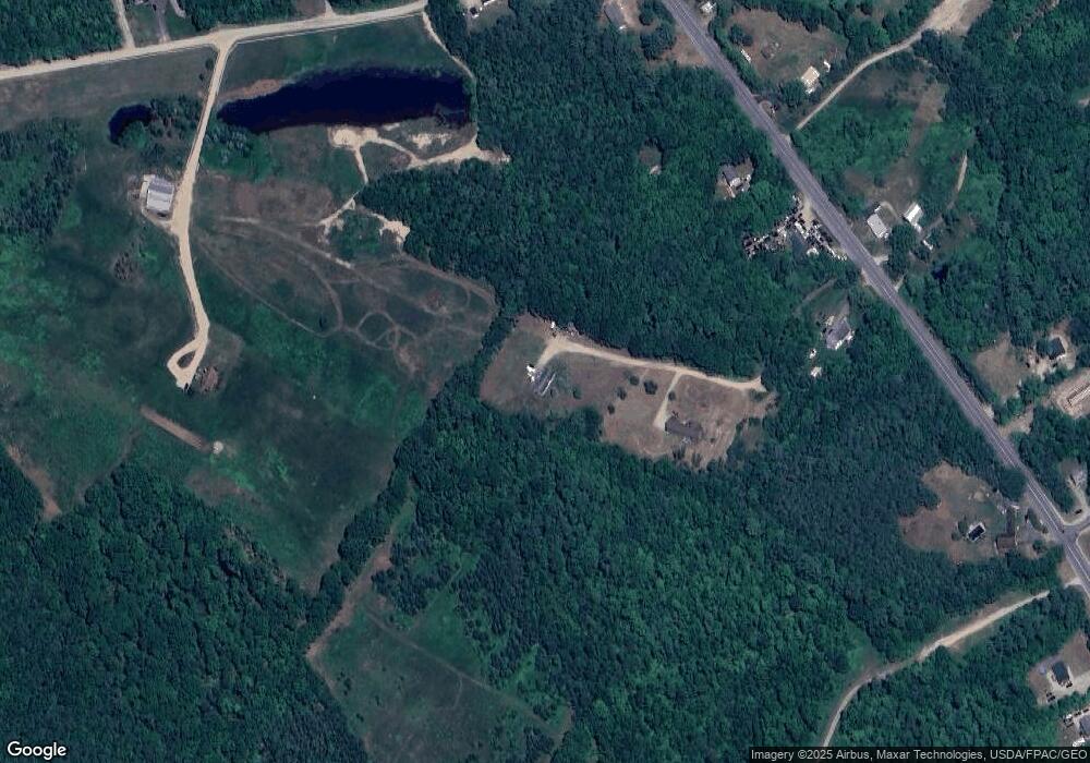
Map
Nearby Homes
- 157 Silver Ln
- Mp44Lt270 Silver Ln
- 4 Dragonfly Cir
- M13L30 Clarks Bridge Rd
- 138 Fairview Dr
- 126 Greenfield Rd
- TBD New Dam Rd
- 17 High Point Cir
- 0 Hunter Rd Unit 1643176
- 0 Island Rd Unit 1643509
- 107 Sequoia Ln
- 60 Sequoia Ln
- 50 Island Rd
- 386 Lenox Cir
- 685 Crystal Ln
- 5 Clarks Bridge Rd
- 56 Paradise Ln
- Lot 2203 Kennedy Dr
- 65 Beaver Dam Rd Unit Lot A
- 6 Little Ossipee Landing
- 22 Memory Ln
- 1372 Sokokis Trail
- 1368 Sokokis Trail
- 1354 Sokokis Trail
- 1346 Sokokis Trail
- 42 Garland Hill Rd
- 1378 Sokokis Trail
- 1378 Sokokis Trail
- 1351A Sokokis Trail
- 1369 Sokokis Trail
- 18 Garland Hill Rd
- 1375 Sokokis Trail
- 10 Garland Hill Rd
- 1330 Sokokis Trail
- 1266 Sokokis Trail
- 1328 Sokokis Trail
- 25 Evergreen Dr
- 28 Evergreen Dr
- 1320 Sokokis Trail
- 1422 Sokokis Trail