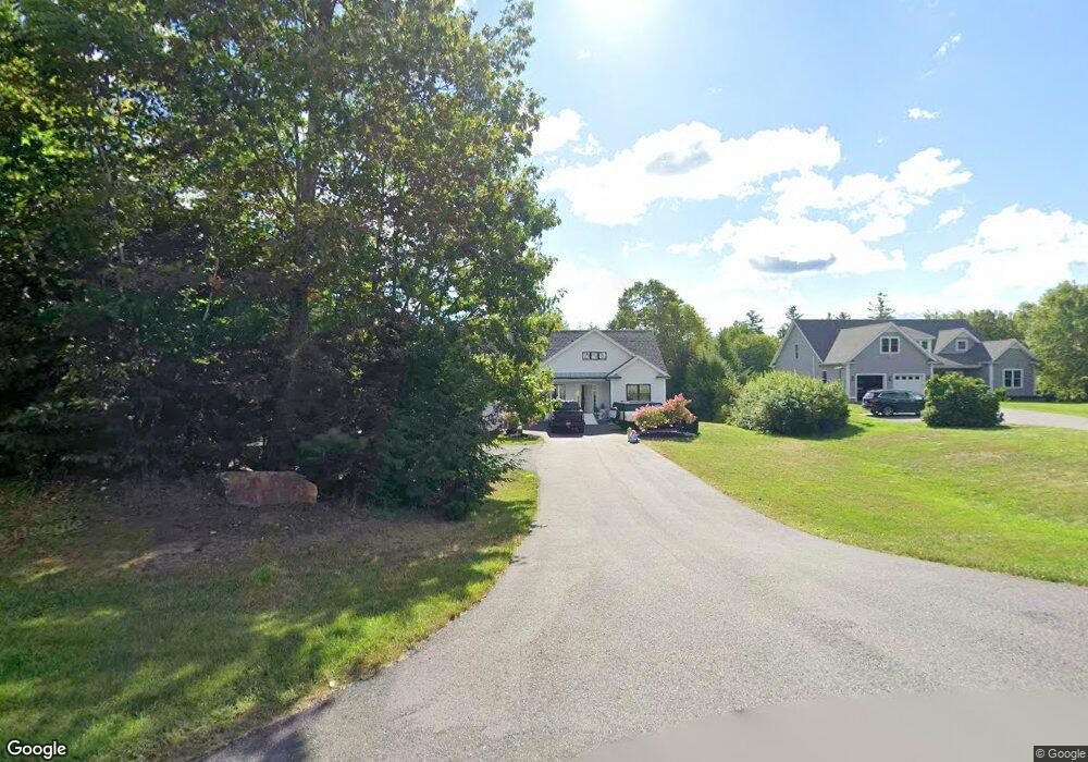
31 Michael Dr Rindge, NH 03461
Estimated Value: $510,000 - $804,000
3
Beds
3
Baths
2,834
Sq Ft
$242/Sq Ft
Est. Value
About This Home
This home is located at 31 Michael Dr, Rindge, NH 03461 and is currently estimated at $687,174, approximately $242 per square foot. 31 Michael Dr is a home with nearby schools including Rindge Memorial School, Conant Middle High School, and Conant High School.
Ownership History
Date
Name
Owned For
Owner Type
Purchase Details
Closed on
Feb 5, 2019
Sold by
Geesey Max E and Geesey Isabel E
Bought by
Geesey Max E
Current Estimated Value
Home Financials for this Owner
Home Financials are based on the most recent Mortgage that was taken out on this home.
Original Mortgage
$320,000
Outstanding Balance
$276,708
Interest Rate
4.4%
Mortgage Type
New Conventional
Estimated Equity
$410,466
Purchase Details
Closed on
Oct 5, 2006
Sold by
Hakala Scott R and Hakala Ina E
Bought by
Parkkonen Marcus and Parkkonen Michelle
Create a Home Valuation Report for This Property
The Home Valuation Report is an in-depth analysis detailing your home's value as well as a comparison with similar homes in the area
Home Values in the Area
Average Home Value in this Area
Purchase History
| Date | Buyer | Sale Price | Title Company |
|---|---|---|---|
| Geesey Max E | -- | -- | |
| Parkkonen Marcus | $75,000 | -- |
Source: Public Records
Mortgage History
| Date | Status | Borrower | Loan Amount |
|---|---|---|---|
| Open | Geesey Max E | $320,000 |
Source: Public Records
Tax History
| Year | Tax Paid | Tax Assessment Tax Assessment Total Assessment is a certain percentage of the fair market value that is determined by local assessors to be the total taxable value of land and additions on the property. | Land | Improvement |
|---|---|---|---|---|
| 2024 | $9,944 | $392,900 | $52,500 | $340,400 |
| 2023 | $9,838 | $392,900 | $52,500 | $340,400 |
| 2022 | $9,048 | $392,900 | $52,500 | $340,400 |
| 2021 | $8,899 | $392,900 | $52,500 | $340,400 |
| 2020 | $8,821 | $392,900 | $52,500 | $340,400 |
| 2019 | $6,876 | $247,700 | $43,100 | $204,600 |
| 2018 | $1,185 | $43,100 | $43,100 | $0 |
| 2017 | $1,172 | $43,100 | $43,100 | $0 |
| 2016 | $1,203 | $43,100 | $43,100 | $0 |
| 2015 | $1,202 | $43,100 | $43,100 | $0 |
| 2014 | $1,697 | $65,200 | $65,200 | $0 |
| 2013 | $1,660 | $65,200 | $65,200 | $0 |
Source: Public Records
Map
Nearby Homes
- 50 Converseville Rd
- 253 Wellington Rd
- 14 Tico Rd
- 78 Colburn Ln
- 518 Main St
- 64 Old Ashburnham Rd
- 138 Birch Dr
- 9 Tervo Rd
- 109 Middle Winchendon Rd
- 28 Saybrook Dr
- Lot 1 Saybrook Dr
- 452 Middle Winchendon Rd
- Lot 3 Saybrook Dr
- 634 Old New Ipswich Rd
- 626 Forristall Rd
- 226 Lakeview Dr
- 99 Hunt Hill Rd
- 20 Amalia Way
- 33 Woods Crossing Rd
- 0 New Hampshire 119 Unit 73
- 27 Michael Dr
- 33 Michael Dr
- 17 Michael Dr
- 0 Michael Dr
- 0 Michael Dr Unit 4003931
- 46 Michael Dr
- 35 Michael Dr
- 9 Converseville Rd
- 22 Michael Dr
- 34 Michael Dr
- 83-4 Michael Dr
- 12 Michael Dr
- 44 Michael Dr
- 32 Atlantic Dr
- 341 Wellington Rd
- 337 Wellington Rd
- 46 Converseville Rd
- 27 Atlantic Dr
- 26 Atlantic Dr
- 37 Converseville Rd
Your Personal Tour Guide
Ask me questions while you tour the home.