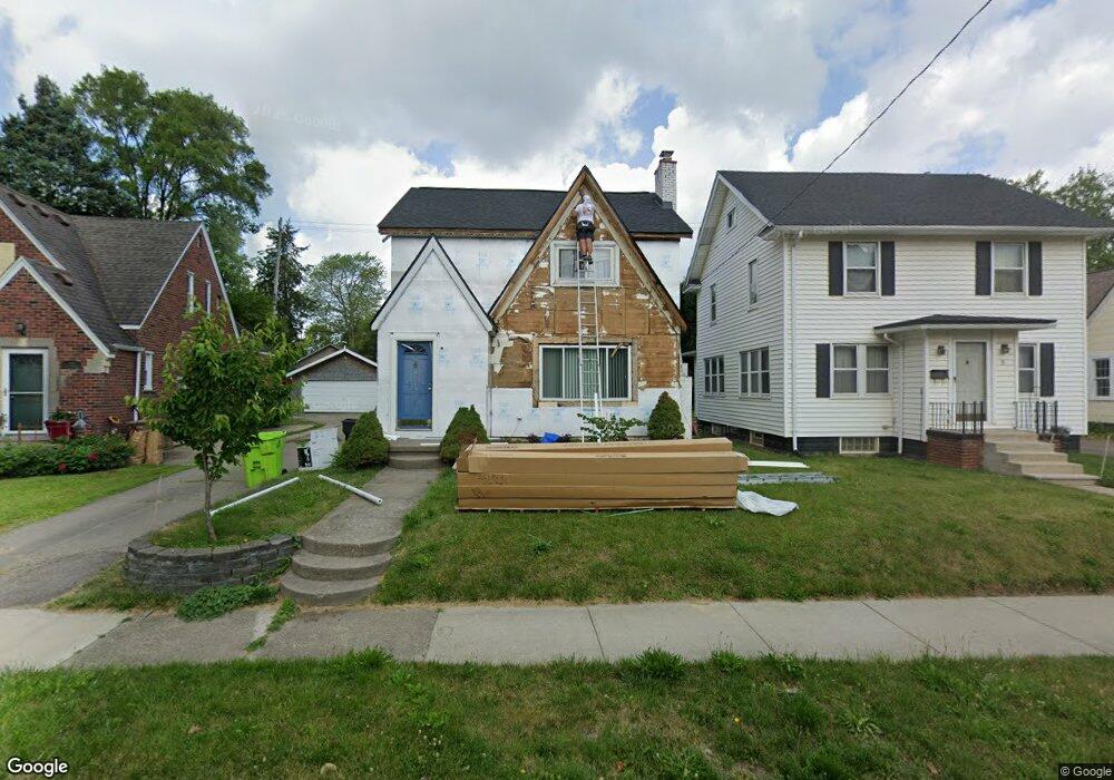
31 Mohawk Rd Pontiac, MI 48341
Estimated Value: $158,000 - $177,257
3
Beds
2
Baths
1,452
Sq Ft
$116/Sq Ft
Est. Value
About This Home
This home is located at 31 Mohawk Rd, Pontiac, MI 48341 and is currently estimated at $167,814, approximately $115 per square foot. 31 Mohawk Rd is a home located in Oakland County with nearby schools including Walt Whitman Elementary School, Pontiac Middle School, and Pontiac High School.
Ownership History
Date
Name
Owned For
Owner Type
Purchase Details
Closed on
Mar 12, 2019
Sold by
Mohawk 31 Llc
Bought by
Engle Ralph M
Current Estimated Value
Purchase Details
Closed on
Feb 28, 2019
Sold by
Engle Ralph M
Bought by
Boone Christopher
Purchase Details
Closed on
Mar 24, 2011
Sold by
Gammon Thomas F
Bought by
Mohawk 31 Llc
Purchase Details
Closed on
Aug 4, 2010
Sold by
Wells Fargo Bank Na
Bought by
Federal National Mortgage Association
Purchase Details
Closed on
Aug 3, 2010
Sold by
Malott Deborah L and Washington Mutual Bank Fa
Bought by
Wells Fargo Bank Na
Create a Home Valuation Report for This Property
The Home Valuation Report is an in-depth analysis detailing your home's value as well as a comparison with similar homes in the area
Home Values in the Area
Average Home Value in this Area
Purchase History
| Date | Buyer | Sale Price | Title Company |
|---|---|---|---|
| Engle Ralph M | $74,000 | Stewart Title | |
| Boone Christopher | $65,000 | Sonoma Title Guarantee | |
| Mohawk 31 Llc | -- | Philip R Seaver Title Co Inc | |
| Federal National Mortgage Association | -- | None Available | |
| Wells Fargo Bank Na | $99,358 | None Available |
Source: Public Records
Tax History
| Year | Tax Paid | Tax Assessment Tax Assessment Total Assessment is a certain percentage of the fair market value that is determined by local assessors to be the total taxable value of land and additions on the property. | Land | Improvement |
|---|---|---|---|---|
| 2025 | $1,960 | $85,010 | $0 | $0 |
| 2024 | $1,725 | $78,980 | $0 | $0 |
| 2023 | $1,644 | $69,250 | $0 | $0 |
| 2022 | $1,724 | $55,920 | $0 | $0 |
| 2021 | $1,612 | $47,270 | $0 | $0 |
| 2020 | $1,494 | $40,670 | $0 | $0 |
| 2019 | $839 | $34,800 | $0 | $0 |
| 2018 | $805 | $28,560 | $0 | $0 |
| 2017 | $762 | $26,280 | $0 | $0 |
| 2016 | $788 | $25,640 | $0 | $0 |
| 2015 | -- | $22,210 | $0 | $0 |
| 2014 | -- | $20,000 | $0 | $0 |
| 2011 | -- | $32,760 | $0 | $0 |
Source: Public Records
Map
Nearby Homes
- 832 W Huron St
- 933 Myrtle Ave
- 78 Newberry St
- 122 N Tilden Ave
- 305 Liberty St
- V/L W Huron St
- 1030 Menominee Rd
- 160 Chippewa Rd
- 984 Voorheis Rd
- 403 Voorheis St
- 10 Wenonah Dr
- 150 N Josephine Ave
- 247 Lasseigne St
- 253 Lasseigne St
- 142 Ottawa Dr
- 94 Dwight Ave
- 1119 Lakeview St
- 285 Voorheis St
- 258 Voorheis St
- 642 Lydia Ln Unit 54
Your Personal Tour Guide
Ask me questions while you tour the home.