31 Muirfield Ln Unit 2 Holderness, NH 03245
Estimated Value: $366,628 - $542,000
3
Beds
3
Baths
1,625
Sq Ft
$272/Sq Ft
Est. Value
About This Home
This home is located at 31 Muirfield Ln Unit 2, Holderness, NH 03245 and is currently estimated at $442,407, approximately $272 per square foot. 31 Muirfield Ln Unit 2 is a home located in Grafton County with nearby schools including Holderness Central School, Plymouth Regional High School, and Plymouth State University CD & FC.
Ownership History
Date
Name
Owned For
Owner Type
Purchase Details
Closed on
Mar 14, 2022
Sold by
Kelly Steven B and Mcgill Kathleen E
Bought by
K Elizabeth & S B Ret
Current Estimated Value
Purchase Details
Closed on
Sep 27, 2019
Sold by
H A
Bought by
Kelly Steven B and Mcgill Kathleen B
Purchase Details
Closed on
Jun 8, 2016
Sold by
Magnus Adolph H and Magnus Rebecca J
Bought by
Rebecca A H and Rebecca T
Create a Home Valuation Report for This Property
The Home Valuation Report is an in-depth analysis detailing your home's value as well as a comparison with similar homes in the area
Home Values in the Area
Average Home Value in this Area
Purchase History
| Date | Buyer | Sale Price | Title Company |
|---|---|---|---|
| K Elizabeth & S B Ret | -- | None Available | |
| Kelly Steven B | $255,000 | -- | |
| Rebecca A H | -- | -- |
Source: Public Records
Tax History Compared to Growth
Tax History
| Year | Tax Paid | Tax Assessment Tax Assessment Total Assessment is a certain percentage of the fair market value that is determined by local assessors to be the total taxable value of land and additions on the property. | Land | Improvement |
|---|---|---|---|---|
| 2024 | $2,618 | $302,700 | $4,500 | $298,200 |
| 2023 | $2,561 | $298,100 | $4,500 | $293,600 |
| 2022 | $2,832 | $252,400 | $4,300 | $248,100 |
| 2021 | $2,855 | $252,400 | $4,300 | $248,100 |
| 2020 | $2,986 | $219,900 | $3,200 | $216,700 |
| 2019 | $2,891 | $219,500 | $3,200 | $216,300 |
| 2018 | $2,825 | $219,500 | $3,200 | $216,300 |
| 2017 | $2,969 | $209,400 | $41,500 | $167,900 |
| 2016 | $2,969 | $209,400 | $41,500 | $167,900 |
| 2015 | $2,969 | $209,400 | $41,500 | $167,900 |
| 2014 | $3,011 | $209,400 | $41,500 | $167,900 |
| 2011 | $3,091 | $234,900 | $61,500 | $173,400 |
Source: Public Records
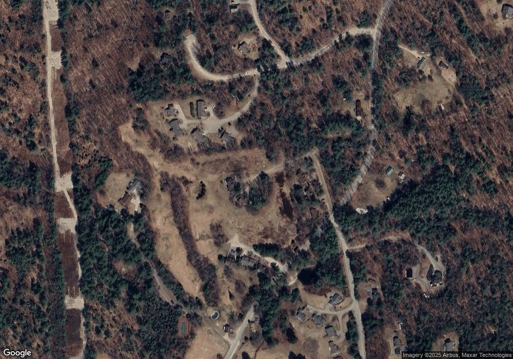
Map
Nearby Homes
- 22 Prospect Ridge Rd
- 71 Carla Ct
- 4 Morin St Unit 4
- 000 Smith Rd Unit 2
- 000 Smith Rd
- 133 Sargent Rd
- 5 Rosy Ln
- 72 Crescent St
- 20 Wildflower Ln Unit 208-97-9-2
- 20 Wildflower Ln Unit 208-97-9-1
- 18 Wildflower Ln Unit 208-97-8-01
- 6 Boe Rd
- 15-4-15 Beaver Brook Rd
- 373 New Hampshire Route 175
- 4 Hilltop Dr
- 28, 29 &42 Railroad & Main Square
- 1484 US Route 3
- 32 Beech Hill Rd
- 9 Crawford St
- 30 Pleasant St
- 18 Fairway Dr
- 19 Fairway Dr
- 3 Muirfield Ln Unit 2
- 3 Muirfield Ln Unit 1
- 7 Muirfield Ln Unit 2
- 7 Muirfield Ln Unit 1
- 13 Muirfield Ln Unit 2
- 13 Muirfield Ln Unit 1
- 7 Troon Terrace Unit 19
- 7 Troon Terrace Unit 18
- 31 Muirfield Ln Unit 1
- 30 Muirfield Ln Unit 2
- 30 Muirfield Ln Unit 1
- 18 Fairway Dr Unit 9
- 18 Fairway Dr Unit 8
- 19 Fairway Dr Unit 7
- 19 Fairway Dr Unit 6
- 23 Fairway Dr Unit 4
- 23 Fairway Dr Unit 3
- 7 Muirfield Ln Unit 25