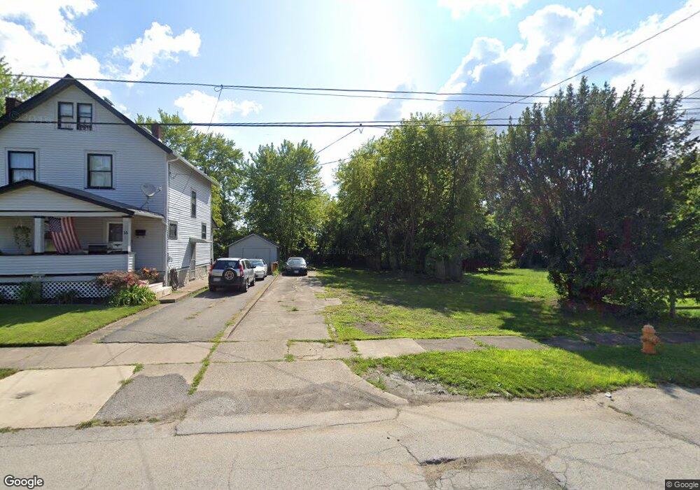
31 N Evanston Ave Youngstown, OH 44509
Belle Vista NeighborhoodEstimated Value: $89,000 - $191,000
3
Beds
1
Bath
1,534
Sq Ft
$91/Sq Ft
Est. Value
About This Home
This home is located at 31 N Evanston Ave, Youngstown, OH 44509 and is currently estimated at $140,000, approximately $91 per square foot. 31 N Evanston Ave is a home located in Mahoning County with nearby schools including Volney Rogers Elementary School, Chaney High School, and Summit Academy - Youngstown.
Ownership History
Date
Name
Owned For
Owner Type
Purchase Details
Closed on
Mar 28, 2024
Sold by
Cole Timothy Michael and Cole Charity
Bought by
Turner Sara and Turner Ricky
Current Estimated Value
Purchase Details
Closed on
Mar 9, 2020
Sold by
Mahoning County Land Reutilization Corp
Bought by
Cole Timothy Michael
Purchase Details
Closed on
Jul 9, 2018
Sold by
Meacham Ralph T
Bought by
Reulitization Corporation
Purchase Details
Closed on
Jul 18, 2006
Sold by
Grantling Sabrena
Bought by
Butler Daniel
Purchase Details
Closed on
Nov 13, 1989
Bought by
Santha Richard W
Create a Home Valuation Report for This Property
The Home Valuation Report is an in-depth analysis detailing your home's value as well as a comparison with similar homes in the area
Home Values in the Area
Average Home Value in this Area
Purchase History
| Date | Buyer | Sale Price | Title Company |
|---|---|---|---|
| Turner Sara | $37,500 | Title Professionals Group Ltd | |
| Turner Sara | $37,500 | Title Professionals Group Ltd | |
| Cole Timothy Michael | -- | None Available | |
| Reulitization Corporation | -- | None Available | |
| Butler Daniel | -- | None Available | |
| Santha Richard W | $24,000 | -- |
Source: Public Records
Tax History Compared to Growth
Tax History
| Year | Tax Paid | Tax Assessment Tax Assessment Total Assessment is a certain percentage of the fair market value that is determined by local assessors to be the total taxable value of land and additions on the property. | Land | Improvement |
|---|---|---|---|---|
| 2024 | $29 | $600 | $600 | -- |
| 2023 | $29 | $600 | $600 | $0 |
| 2022 | $37 | $590 | $590 | $0 |
| 2021 | $37 | $590 | $590 | $0 |
| 2020 | $3 | $590 | $590 | $0 |
| 2019 | $6 | $510 | $510 | $0 |
| 2018 | $7 | $6,850 | $1,030 | $5,820 |
| 2017 | $289 | $6,850 | $1,030 | $5,820 |
| 2016 | $574 | $8,650 | $1,580 | $7,070 |
| 2015 | $591 | $8,650 | $1,580 | $7,070 |
| 2014 | $559 | $8,650 | $1,580 | $7,070 |
| 2013 | $551 | $8,650 | $1,580 | $7,070 |
Source: Public Records
Map
Nearby Homes
- 60 Steel St
- 15 S Portland Ave
- 1595 2nd St
- 1594 2nd St
- 1751 Mahoning Ave
- 219 N Maryland Ave
- 1611 Wellington Ave
- 112 Glacier Ave
- 1711 Wellington Ave
- 77 Fernwood Ave
- 120 Whitney Ave S
- 234 S Portland Ave
- 134 Millet Ave
- 1726 Midland Ave
- 115 N Richview Ave
- 1516 Midland Ave
- 1651 Price Rd
- 1947 Manhattan Ave
- 1639 Butler Ave
- 2113 Manhattan Ave
- 31 N Evanston Ave
- 27 N Evanston Ave
- 35 N Evanston Ave
- 35 N Evanston Ave
- 23 N Evanston Ave
- 23 N Evanston Ave
- 19 N Evanston Ave
- 43 N Evanston Ave
- 40 N Evanston Ave
- 24 N Evanston Ave
- 32 N Evanston Ave
- 17 N Evanston Ave
- 28 N Evanston Ave
- 47 N Evanston Ave
- 44 N Evanston Ave
- 20 N Evanston Ave
- 20 N Evanston Ave
- 13 N Evanston Ave
- 38 Steel St
- 49 N Evanston Ave