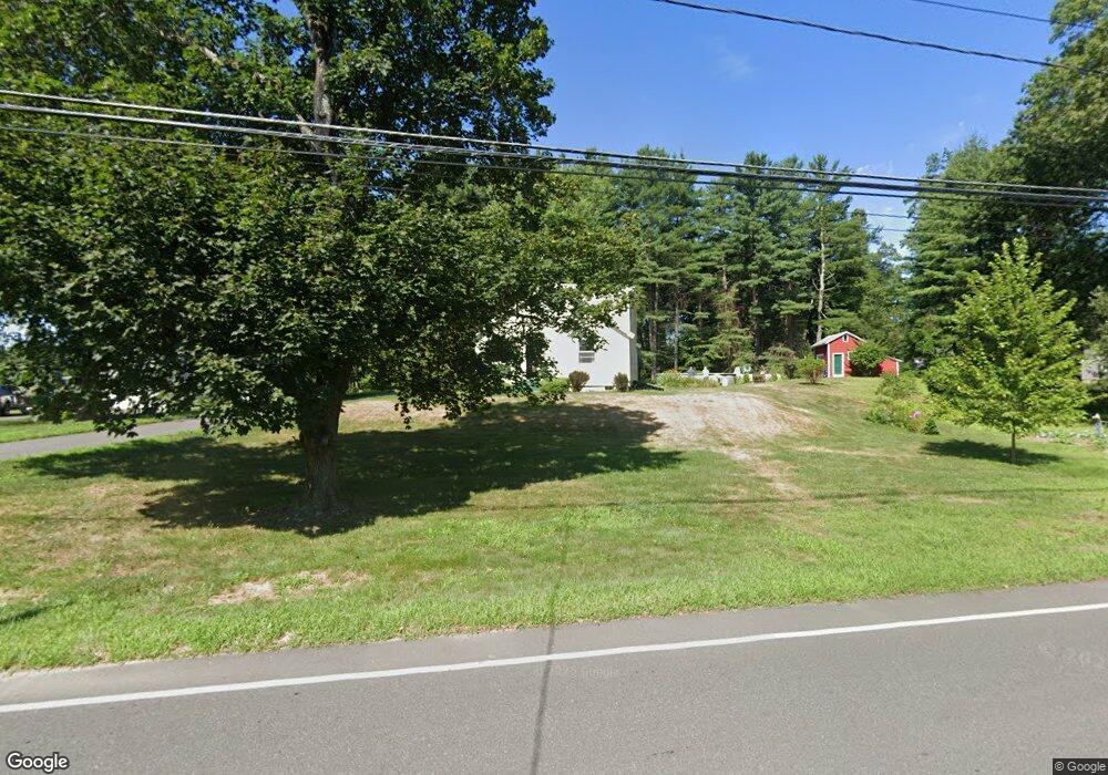
31 N Hatfield Rd Hatfield, MA 01038
Estimated Value: $437,367 - $576,000
3
Beds
1
Bath
1,658
Sq Ft
$300/Sq Ft
Est. Value
About This Home
This home is located at 31 N Hatfield Rd, Hatfield, MA 01038 and is currently estimated at $498,092, approximately $300 per square foot. 31 N Hatfield Rd is a home located in Hampshire County with nearby schools including Hatfield Elementary School and Smith Academy.
Ownership History
Date
Name
Owned For
Owner Type
Purchase Details
Closed on
Apr 17, 2014
Sold by
Kopinto Lester E and Kopinto Gail H
Bought by
Kopinto Corey C and Kopinto Alison K
Current Estimated Value
Purchase Details
Closed on
Jan 29, 1976
Bought by
Kopinto Corey C and Kopinto Alison Kate
Create a Home Valuation Report for This Property
The Home Valuation Report is an in-depth analysis detailing your home's value as well as a comparison with similar homes in the area
Home Values in the Area
Average Home Value in this Area
Purchase History
| Date | Buyer | Sale Price | Title Company |
|---|---|---|---|
| Kopinto Corey C | -- | -- | |
| Kopinto Corey C | $27,700 | -- |
Source: Public Records
Mortgage History
| Date | Status | Borrower | Loan Amount |
|---|---|---|---|
| Previous Owner | Kopinto Corey C | $40,000 | |
| Previous Owner | Kopinto Corey C | $50,000 | |
| Previous Owner | Kopinto Corey C | $35,000 |
Source: Public Records
Tax History
| Year | Tax Paid | Tax Assessment Tax Assessment Total Assessment is a certain percentage of the fair market value that is determined by local assessors to be the total taxable value of land and additions on the property. | Land | Improvement |
|---|---|---|---|---|
| 2025 | $5,182 | $374,400 | $153,700 | $220,700 |
| 2024 | $4,867 | $317,900 | $133,900 | $184,000 |
| 2023 | $4,062 | $301,300 | $127,400 | $173,900 |
| 2022 | $3,839 | $280,800 | $120,800 | $160,000 |
| 2021 | $3,790 | $267,100 | $109,800 | $157,300 |
| 2020 | $3,614 | $267,100 | $109,800 | $157,300 |
| 2019 | $3,516 | $253,100 | $107,600 | $145,500 |
| 2018 | $3,437 | $253,100 | $107,600 | $145,500 |
| 2017 | $3,290 | $248,900 | $107,600 | $141,300 |
| 2016 | $3,244 | $246,100 | $107,600 | $138,500 |
| 2015 | $3,059 | $232,300 | $96,600 | $135,700 |
| 2014 | $2,943 | $232,300 | $96,600 | $135,700 |
Source: Public Records
Map
Nearby Homes
- 0 Straits Rd
- 0 Pantry Rd Unit 73430264
- 151 Pantry Rd
- 58 Main St Unit 4
- 58 Main St Unit 3
- 18 Elm St
- 12 Dwight St
- 182 Old Stage Rd
- 66 Laurel Park Unit 66
- 3 Frost Ln
- 11 West St
- Lot 3 Roosevelt St
- 32 Stonewall Dr
- 0 N Branch Rd
- 6 Shattuck Rd
- 26 Russell St Unit A-B
- 116 Christian Ln
- 88 Pines Edge Dr Unit 88
- 80 Damon Rd Unit 5104
- 80 Damon Rd Unit 4302
- 20 N Hatfield Rd
- 18 N Hatfield Rd
- 22 N Hatfield Rd
- 16 North St
- 33 N Hatfield Rd
- 16 N Hatfield Rd
- 25 N Hatfield Rd
- 35 N Hatfield Rd
- 24 N Hatfield Rd
- 17 Straits Rd
- 14 N Hatfield Rd
- 21 Straits Rd
- 15 Straits Rd
- 28 N Hatfield Rd
- 21 North St
- 21 N Hatfield Rd
- 21 North St
- 27 N Hatfield Rd
- 30 N Hatfield Rd
- 12 N Hatfield Rd