31 N Wakefield Rd Wolfeboro, NH 03894
Estimated Value: $381,539 - $470,000
3
Beds
1
Bath
1,276
Sq Ft
$336/Sq Ft
Est. Value
About This Home
This home is located at 31 N Wakefield Rd, Wolfeboro, NH 03894 and is currently estimated at $428,135, approximately $335 per square foot. 31 N Wakefield Rd is a home located in Carroll County with nearby schools including Carpenter Elementary School, Crescent Lake School, and Kingswood Regional Middle School.
Ownership History
Date
Name
Owned For
Owner Type
Purchase Details
Closed on
Nov 30, 2009
Sold by
Nelson Robert E and Nelson Kathryn D
Bought by
Butler Christienne M
Current Estimated Value
Home Financials for this Owner
Home Financials are based on the most recent Mortgage that was taken out on this home.
Original Mortgage
$118,000
Outstanding Balance
$77,045
Interest Rate
4.92%
Mortgage Type
Purchase Money Mortgage
Estimated Equity
$351,090
Create a Home Valuation Report for This Property
The Home Valuation Report is an in-depth analysis detailing your home's value as well as a comparison with similar homes in the area
Home Values in the Area
Average Home Value in this Area
Purchase History
| Date | Buyer | Sale Price | Title Company |
|---|---|---|---|
| Butler Christienne M | $147,500 | -- |
Source: Public Records
Mortgage History
| Date | Status | Borrower | Loan Amount |
|---|---|---|---|
| Open | Butler Christienne M | $118,000 |
Source: Public Records
Tax History Compared to Growth
Tax History
| Year | Tax Paid | Tax Assessment Tax Assessment Total Assessment is a certain percentage of the fair market value that is determined by local assessors to be the total taxable value of land and additions on the property. | Land | Improvement |
|---|---|---|---|---|
| 2024 | $3,775 | $237,400 | $83,400 | $154,000 |
| 2023 | $3,487 | $237,400 | $83,400 | $154,000 |
| 2022 | $3,138 | $237,400 | $83,400 | $154,000 |
| 2021 | $3,256 | $238,200 | $83,400 | $154,800 |
| 2020 | $3,099 | $238,200 | $83,400 | $154,800 |
| 2019 | $3,200 | $202,000 | $71,600 | $130,400 |
| 2018 | $3,192 | $202,000 | $71,600 | $130,400 |
| 2017 | $3,026 | $202,000 | $71,600 | $130,400 |
| 2016 | $2,948 | $201,500 | $71,600 | $129,900 |
| 2015 | $2,811 | $201,500 | $71,600 | $129,900 |
| 2014 | $2,465 | $189,500 | $58,800 | $130,700 |
| 2013 | $2,431 | $189,500 | $58,800 | $130,700 |
Source: Public Records
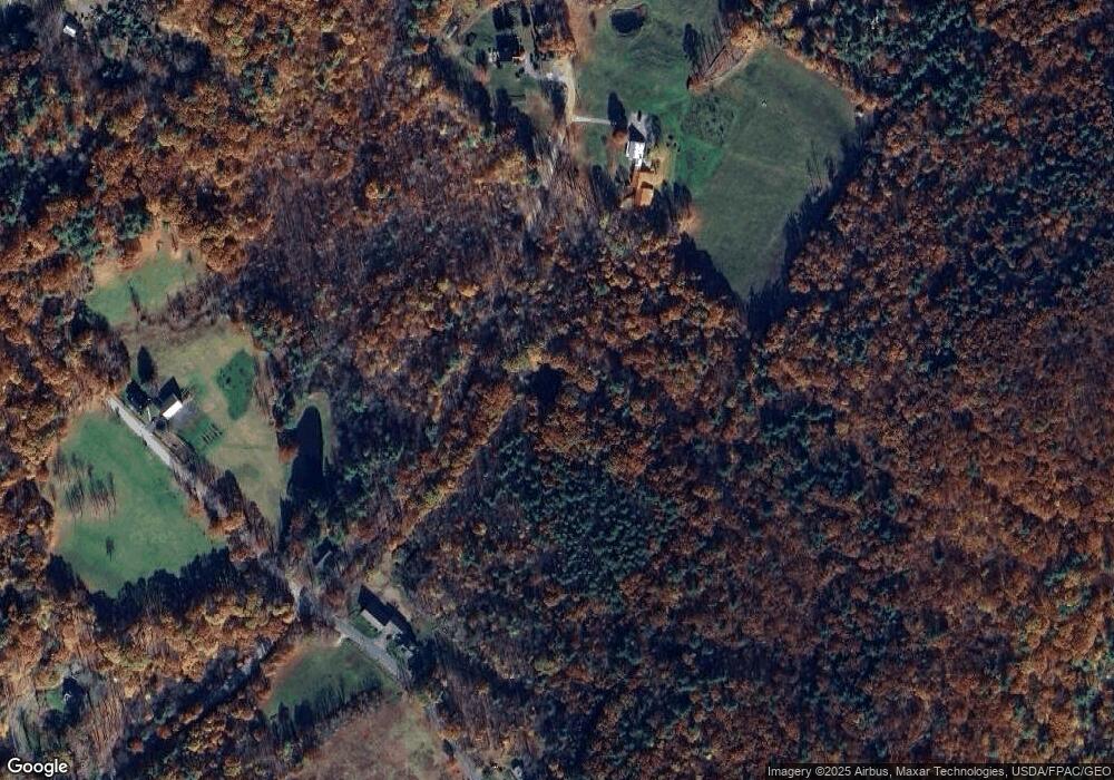
Map
Nearby Homes
- 60 N Wakefield Rd
- 19 Cotton Mountain Rd
- 475 Governor Wentworth Hwy
- 408 Governor Wentworth Hwy Unit 44
- 0 Camp Rd Unit 5022980
- 730 Browns Ridge Rd
- Map 86 L 5 Haines Hill Rd
- 5 Trask Mountain Rd
- 883 Center St
- 69 College Rd
- 78 College Rd
- 42 College Rd
- Lot 5B Lyford Rd
- 59 Lake Rd
- Map 102 L 4 Center St
- Map 25-6 Upper Trask Mountain Rd
- 33 Sky Ln
- 7 Garney Rd
- 1237 Center St
- 1235 Center St
- 8 N Wakefield Rd Unit 8
- 12 N Wakefield Rd
- 421 N Wakefield Rd
- 6 N Wakefield Rd
- 4 N Wakefield Rd
- 4 N Wakefield Rd
- 343 Stoneham Rd
- 375 Stoneham Rd
- 323 Stoneham Rd
- 324 Stoneham Rd
- 96 Cotton Mountain Rd
- 89 Cotton Mountain Rd
- 83 Cotton Mountain Rd
- 406 Stoneham Rd
- 253 Stoneham Rd
- 9-1 Stoneham Rd
- Lot 6 Stoneham Rd Unit MAP 139 LOT 6
- Lot 7 Stoneham Rd Unit MAP 139 LOT 7
- 11 Stoneham Rd Unit MAP 139 LOT 11
- 10 Stoneham Rd Unit MAP 139 LOT 10