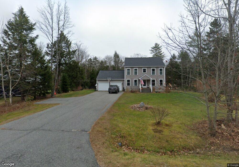
31 Newfield Rd Freeport, ME 04032
Estimated Value: $694,000 - $909,000
3
Beds
3
Baths
2,116
Sq Ft
$379/Sq Ft
Est. Value
About This Home
This home is located at 31 Newfield Rd, Freeport, ME 04032 and is currently estimated at $802,323, approximately $379 per square foot. 31 Newfield Rd is a home located in Cumberland County with nearby schools including Morse Street School, Mast Landing School, and Freeport Middle School.
Ownership History
Date
Name
Owned For
Owner Type
Purchase Details
Closed on
May 10, 2013
Sold by
Fortin Const Inc
Bought by
Costello Timothy S and Costello Dawn M
Current Estimated Value
Home Financials for this Owner
Home Financials are based on the most recent Mortgage that was taken out on this home.
Original Mortgage
$269,514
Outstanding Balance
$192,006
Interest Rate
3.6%
Mortgage Type
New Conventional
Estimated Equity
$610,317
Create a Home Valuation Report for This Property
The Home Valuation Report is an in-depth analysis detailing your home's value as well as a comparison with similar homes in the area
Home Values in the Area
Average Home Value in this Area
Purchase History
| Date | Buyer | Sale Price | Title Company |
|---|---|---|---|
| Costello Timothy S | -- | -- |
Source: Public Records
Mortgage History
| Date | Status | Borrower | Loan Amount |
|---|---|---|---|
| Open | Costello Timothy S | $269,514 |
Source: Public Records
Tax History Compared to Growth
Tax History
| Year | Tax Paid | Tax Assessment Tax Assessment Total Assessment is a certain percentage of the fair market value that is determined by local assessors to be the total taxable value of land and additions on the property. | Land | Improvement |
|---|---|---|---|---|
| 2024 | $6,660 | $498,900 | $186,600 | $312,300 |
| 2023 | $6,058 | $440,600 | $169,700 | $270,900 |
| 2022 | $5,771 | $422,800 | $151,900 | $270,900 |
| 2021 | $5,644 | $422,800 | $151,900 | $270,900 |
| 2020 | $5,456 | $389,700 | $140,600 | $249,100 |
| 2019 | $5,245 | $366,800 | $132,600 | $234,200 |
| 2018 | $5,144 | $341,800 | $125,000 | $216,800 |
| 2017 | $4,917 | $328,900 | $122,100 | $206,800 |
| 2016 | $4,773 | $302,100 | $110,200 | $191,900 |
| 2015 | $4,739 | $282,100 | $100,200 | $181,900 |
| 2014 | $4,457 | $282,100 | $100,200 | $181,900 |
| 2013 | $3,839 | $242,200 | $99,900 | $142,300 |
Source: Public Records
Map
Nearby Homes
- 9 Apple Ridge Rd
- 5 Indian Ridge Rd
- 136 Flying Point Rd
- 15 Tinkers Way
- 179 Casco Rd
- 0 Prout Rd
- 853 Mere Point Rd
- 46 Blackstone Club Rd
- 31 Allen Range Rd
- 11 Orchard Hill Rd
- 1260 Us Route 1
- 83 Central Ave
- 46 Casco Rd
- 5 Round Hill Ln
- 57 Crestview Ln
- 650 Mere Point Rd
- 0 Gundalo Gap Rd Unit 1638108
- 10 North Trail
- Map 80 Lot 18-0 White Island
- 564 Mere Point Rd
- 29 Newfield Rd
- Lot 28 Newfield Rd
- Lot #29 Newfield Rd
- Lot10-29 Newfield Rd
- 35 Newfield Rd
- Lot 30 Newfield Rd
- 27 Newfield Rd
- Lot #27 Newfield Rd
- 37 Newfield Rd
- 37 Newfield Road (Lot 14)
- 33 Newfield Rd
- 25 Newfield Rd
- 25 Newfield Rd Unit Lot8
- Lot #25 Newfield Rd
- Lot 8-25 Newfield Rd
- 39 Newfield Rd
- 39+42 Newfield Rd
- 32 Newfield Rd Unit Lot24
- 32 Newfield Rd
- 23 Newfield Rd