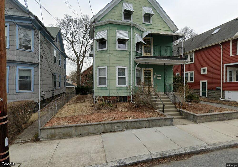
31 Orchard St Medford, MA 02155
Medford Hillside NeighborhoodEstimated Value: $971,117 - $1,069,000
5
Beds
3
Baths
2,380
Sq Ft
$427/Sq Ft
Est. Value
About This Home
This home is located at 31 Orchard St, Medford, MA 02155 and is currently estimated at $1,017,279, approximately $427 per square foot. 31 Orchard St is a home located in Middlesex County with nearby schools including Medford High School, St. Joseph School, and St. Clement Elementary School.
Ownership History
Date
Name
Owned For
Owner Type
Purchase Details
Closed on
Apr 16, 2010
Sold by
Dennis Joan
Bought by
Dennis Joan and Dennis Jay
Current Estimated Value
Purchase Details
Closed on
Mar 11, 1982
Bought by
Jay Dennis
Create a Home Valuation Report for This Property
The Home Valuation Report is an in-depth analysis detailing your home's value as well as a comparison with similar homes in the area
Home Values in the Area
Average Home Value in this Area
Purchase History
| Date | Buyer | Sale Price | Title Company |
|---|---|---|---|
| Dennis Joan | -- | -- | |
| Jay Dennis | -- | -- |
Source: Public Records
Mortgage History
| Date | Status | Borrower | Loan Amount |
|---|---|---|---|
| Previous Owner | Jay Dennis | $35,000 | |
| Previous Owner | Jay Dennis | $22,000 |
Source: Public Records
Tax History Compared to Growth
Tax History
| Year | Tax Paid | Tax Assessment Tax Assessment Total Assessment is a certain percentage of the fair market value that is determined by local assessors to be the total taxable value of land and additions on the property. | Land | Improvement |
|---|---|---|---|---|
| 2025 | $7,592 | $862,700 | $412,100 | $450,600 |
| 2024 | $6,824 | $800,900 | $373,800 | $427,100 |
| 2023 | $6,641 | $767,700 | $349,300 | $418,400 |
| 2022 | $6,631 | $736,000 | $317,600 | $418,400 |
| 2021 | $6,285 | $667,900 | $302,400 | $365,500 |
| 2020 | $6,256 | $681,500 | $310,200 | $371,300 |
| 2019 | $5,962 | $621,000 | $282,000 | $339,000 |
| 2018 | $5,689 | $555,600 | $256,300 | $299,300 |
| 2017 | $5,366 | $508,100 | $239,600 | $268,500 |
| 2016 | $5,231 | $467,500 | $217,800 | $249,700 |
| 2015 | $4,743 | $405,400 | $207,500 | $197,900 |
Source: Public Records
Map
Nearby Homes
- 47 Marshall St
- 76 Orchard St
- 85 Marshall St
- 130 Auburn St
- 16 Hamilton Rd
- 33 Hamilton St
- 9 Woods Ave
- 8 Curtis St
- 31 Fairfax St
- 44 Woods Ave Unit 44
- 122 Burget Ave
- 395 Alewife Brook Pkwy Unit 2C
- 395 Alewife Brook Pkwy Unit PH E
- 69 Sterling St
- 21 High St
- 22 Wedgemere Rd
- 327 Alewife Brook Pkwy Unit A
- 16 High St Unit 2
- 33 Conwell Ave
- 66 Canal St Unit C
- 33 Orchard St
- 27 Orchard St
- 25 Orchard St
- 32 Orchard St
- 32 Orchard St Unit 2
- 28 Orchard St Unit 3
- 30 Orchard St
- 28 Orchard St Unit 1
- 30 Orchard St Unit 2
- 30 Dearborn St
- 23 Orchard St
- 23 Orchard St Unit 1
- 34 Orchard St
- 34 Orchard St Unit 2
- 26 Dearborn St
- 26 Dearborn St Unit 1
- 32 Dearborn St
- 36 Orchard St Unit 2
- 36 Orchard St
- 21 Orchard St