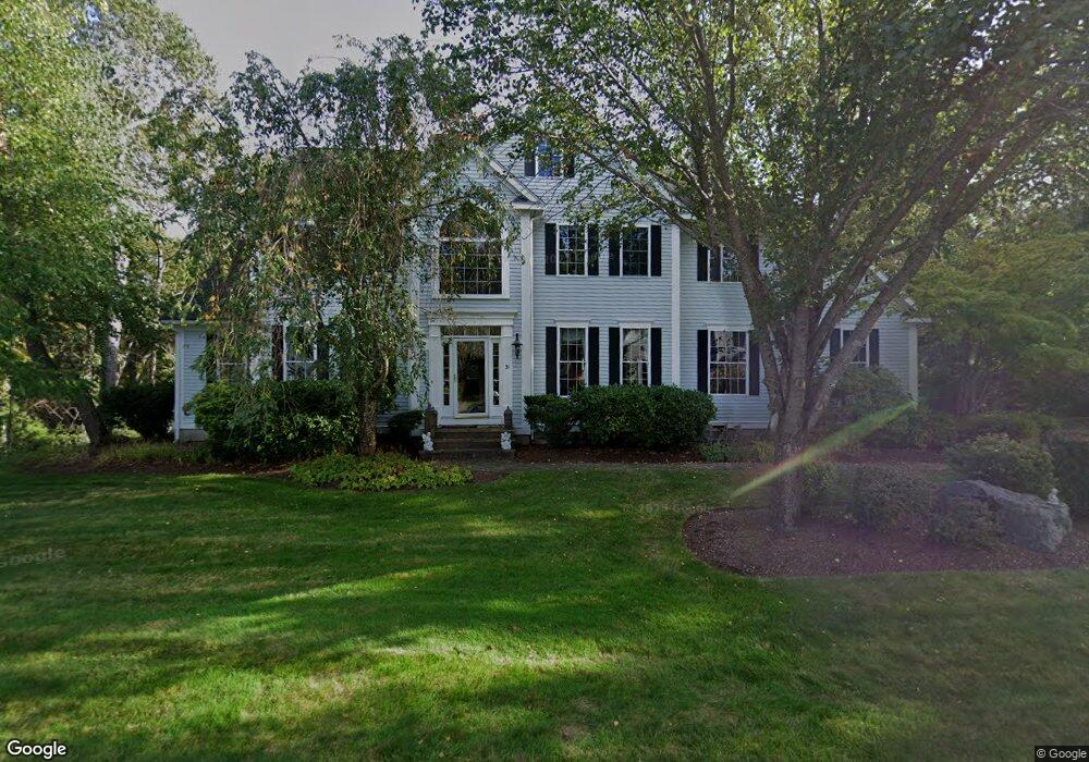
31 Parsons Hill Rd Wenham, MA 01984
Estimated Value: $1,362,000 - $2,391,000
4
Beds
3
Baths
2,676
Sq Ft
$634/Sq Ft
Est. Value
About This Home
This home is located at 31 Parsons Hill Rd, Wenham, MA 01984 and is currently estimated at $1,696,411, approximately $633 per square foot. 31 Parsons Hill Rd is a home located in Essex County with nearby schools including Winthrop School, Bessie Buker Elementary School, and Cutler Elementary School.
Ownership History
Date
Name
Owned For
Owner Type
Purchase Details
Closed on
May 16, 2000
Sold by
Cleric Llc
Bought by
Gyra Paul D and Gyra Rebecca M
Current Estimated Value
Home Financials for this Owner
Home Financials are based on the most recent Mortgage that was taken out on this home.
Original Mortgage
$587,000
Interest Rate
8.21%
Mortgage Type
Purchase Money Mortgage
Create a Home Valuation Report for This Property
The Home Valuation Report is an in-depth analysis detailing your home's value as well as a comparison with similar homes in the area
Home Values in the Area
Average Home Value in this Area
Purchase History
| Date | Buyer | Sale Price | Title Company |
|---|---|---|---|
| Gyra Paul D | $733,986 | -- | |
| Gyra Paul D | $733,986 | -- |
Source: Public Records
Mortgage History
| Date | Status | Borrower | Loan Amount |
|---|---|---|---|
| Open | Gyra Paul D | $573,000 | |
| Closed | Gyra Paul D | $583,000 | |
| Closed | Gyra Paul D | $587,000 |
Source: Public Records
Tax History Compared to Growth
Tax History
| Year | Tax Paid | Tax Assessment Tax Assessment Total Assessment is a certain percentage of the fair market value that is determined by local assessors to be the total taxable value of land and additions on the property. | Land | Improvement |
|---|---|---|---|---|
| 2025 | $20,698 | $1,331,900 | $588,100 | $743,800 |
| 2024 | $19,007 | $1,213,700 | $588,100 | $625,600 |
| 2023 | $17,744 | $1,022,700 | $563,600 | $459,100 |
| 2022 | $17,493 | $893,400 | $417,500 | $475,900 |
| 2021 | $16,824 | $854,900 | $379,000 | $475,900 |
| 2020 | $15,449 | $815,700 | $375,100 | $440,600 |
| 2019 | $14,699 | $815,700 | $375,100 | $440,600 |
| 2018 | $15,199 | $808,900 | $418,800 | $390,100 |
| 2017 | $14,653 | $799,400 | $418,800 | $380,600 |
| 2016 | $13,574 | $799,400 | $418,800 | $380,600 |
| 2015 | $12,990 | $799,400 | $418,800 | $380,600 |
Source: Public Records
Map
Nearby Homes
- 32 Parsons Hill Rd
- 30 Parsons Hill Rd
- 36 Parsons Hill Rd
- 2 Onion River Rd
- 2 Lafayette Ln
- 1 Lafayette Ln
- 28 Parsons Hill Rd
- 35 Parsons Hill Rd
- 35 Parson's Hill Rd
- 6 Onion River Rd
- 27 Parsons Hill Rd
- 2 Princemere Ln
- 3 Lafayette Ln
- 5 Lafayette Ln
- 25 Parsons Hill Rd
- 1 Onion River Rd
- 3 Onion River Rd
- 24 Parsons Hill Rd
- 37 Parsons Hill Rd
- 7 Lafayette Ln