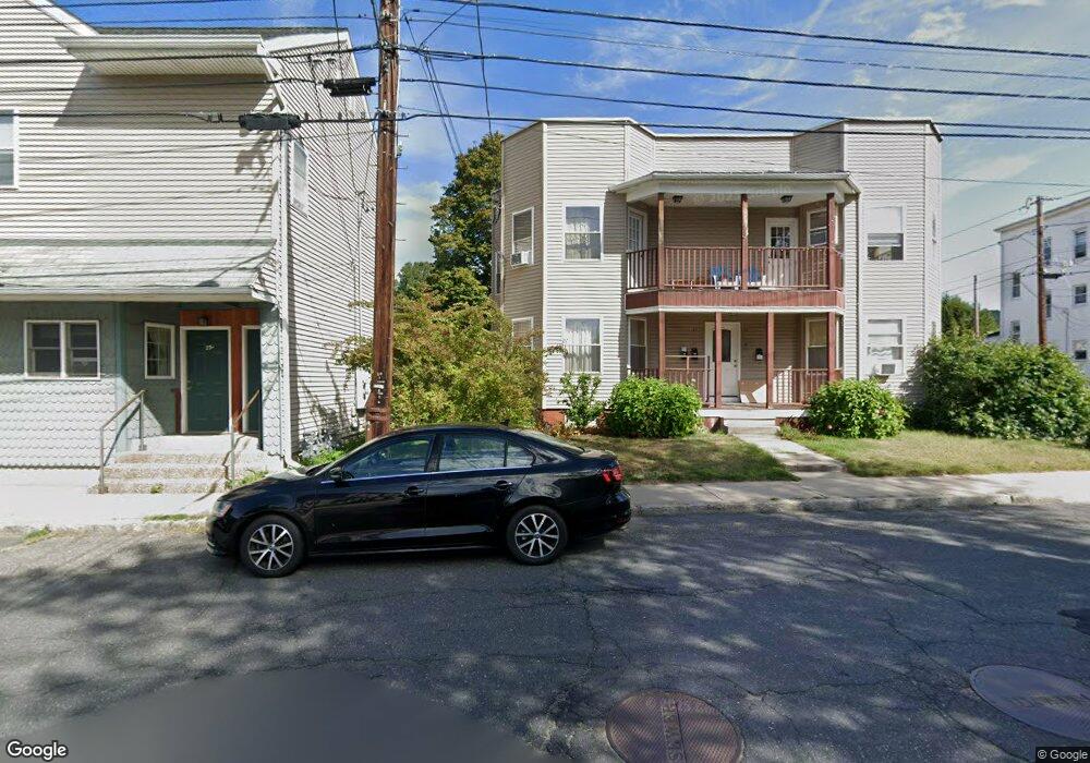
31 Parsons St Easthampton, MA 01027
Estimated Value: $246,000 - $300,389
2
Beds
4
Baths
1,011
Sq Ft
$269/Sq Ft
Est. Value
About This Home
This home is located at 31 Parsons St, Easthampton, MA 01027 and is currently estimated at $271,847, approximately $268 per square foot. 31 Parsons St is a home located in Hampshire County with nearby schools including Easthampton High School, Hilltown Cooperative Charter Public School, and Tri-County Schools.
Ownership History
Date
Name
Owned For
Owner Type
Purchase Details
Closed on
Oct 2, 2006
Sold by
Reil Dianne M
Bought by
Washut Rebecca L
Current Estimated Value
Home Financials for this Owner
Home Financials are based on the most recent Mortgage that was taken out on this home.
Original Mortgage
$125,000
Outstanding Balance
$74,837
Interest Rate
6.52%
Mortgage Type
Purchase Money Mortgage
Estimated Equity
$197,010
Create a Home Valuation Report for This Property
The Home Valuation Report is an in-depth analysis detailing your home's value as well as a comparison with similar homes in the area
Home Values in the Area
Average Home Value in this Area
Purchase History
| Date | Buyer | Sale Price | Title Company |
|---|---|---|---|
| Washut Rebecca L | $150,500 | -- |
Source: Public Records
Mortgage History
| Date | Status | Borrower | Loan Amount |
|---|---|---|---|
| Open | Washut Rebecca L | $125,000 |
Source: Public Records
Tax History
| Year | Tax Paid | Tax Assessment Tax Assessment Total Assessment is a certain percentage of the fair market value that is determined by local assessors to be the total taxable value of land and additions on the property. | Land | Improvement |
|---|---|---|---|---|
| 2025 | $2,955 | $216,200 | $0 | $216,200 |
| 2024 | $2,812 | $207,400 | $0 | $207,400 |
| 2023 | $2,118 | $144,600 | $0 | $144,600 |
| 2022 | $2,390 | $144,600 | $0 | $144,600 |
| 2021 | $2,727 | $149,600 | $0 | $149,600 |
| 2020 | $2,568 | $144,600 | $0 | $144,600 |
| 2019 | $2,149 | $139,000 | $0 | $139,000 |
| 2018 | $2,144 | $134,000 | $0 | $134,000 |
| 2017 | $2,088 | $128,800 | $0 | $128,800 |
| 2016 | $2,075 | $133,100 | $0 | $133,100 |
| 2015 | $2,016 | $133,100 | $0 | $133,100 |
Source: Public Records
Map
Nearby Homes
- 29 Parsons St Unit 1
- 18-20 Oakdale Place
- 10 Glen Cove Place Unit A
- 12 Glen Cove Place Unit B
- 33 Knipfer Ave
- 2 Oak St
- 40 Clark St
- 7 Union Ct
- 4 Gaugh St
- 19 Nicols Way Unit 19
- 11 Dragon Cir
- 6 Wilton Rd
- 296 Old Wilson Rd
- M143 &152 Glendale St
- 385 Main St
- 41 South St Unit 11
- 131 West St Unit 131
- 336 Main St
- 967 Florence Rd
- 6 S St & Abutting Lots
- 33B Parsons St Unit B
- 31-35 Parsons St Unit 35
- 35 Parsons St
- 33 Parsons St Unit B
- 33 Parsons St Unit A
- 25-29 Parsons St
- 29 Parsons St Unit 2
- 27 Parsons St Unit 2
- 27 Parsons St Unit 1
- 3 Boylston St
- 37 Parsons St Unit 39
- 28 Parsons St
- 5 Boylston St
- 4 Federal St
- 24 Federal St
- 6 Boylston St
- 1 Edward Ave
- 1 Edward Ave
- 20 Parsons St
- 43 Parsons St Unit 45
Your Personal Tour Guide
Ask me questions while you tour the home.