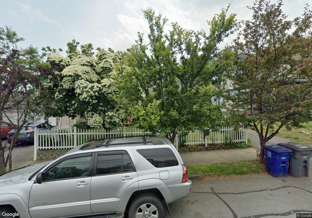
31 Prescott St Bridgeport, CT 06605
Black Rock NeighborhoodEstimated Value: $379,000 - $432,000
3
Beds
2
Baths
1,132
Sq Ft
$362/Sq Ft
Est. Value
About This Home
This home is located at 31 Prescott St, Bridgeport, CT 06605 and is currently estimated at $410,080, approximately $362 per square foot. 31 Prescott St is a home located in Fairfield County with nearby schools including Bassick High School, Park City Prep Charter School, and St. Ann Campus - Catholic Academy of Bridgeport.
Ownership History
Date
Name
Owned For
Owner Type
Purchase Details
Closed on
Jun 27, 2002
Sold by
Ramos Rosa J
Bought by
Guerra Carmen
Current Estimated Value
Home Financials for this Owner
Home Financials are based on the most recent Mortgage that was taken out on this home.
Original Mortgage
$189,000
Interest Rate
6.92%
Purchase Details
Closed on
Feb 28, 1997
Sold by
Kozak James D
Bought by
Ramos Rosa I
Create a Home Valuation Report for This Property
The Home Valuation Report is an in-depth analysis detailing your home's value as well as a comparison with similar homes in the area
Home Values in the Area
Average Home Value in this Area
Purchase History
| Date | Buyer | Sale Price | Title Company |
|---|---|---|---|
| Guerra Carmen | $210,000 | -- | |
| Guerra Carmen | $210,000 | -- | |
| Ramos Rosa I | $105,000 | -- | |
| Ramos Rosa I | $105,000 | -- |
Source: Public Records
Mortgage History
| Date | Status | Borrower | Loan Amount |
|---|---|---|---|
| Open | Ramos Rosa I | $276,000 | |
| Closed | Ramos Rosa I | $189,000 |
Source: Public Records
Tax History Compared to Growth
Tax History
| Year | Tax Paid | Tax Assessment Tax Assessment Total Assessment is a certain percentage of the fair market value that is determined by local assessors to be the total taxable value of land and additions on the property. | Land | Improvement |
|---|---|---|---|---|
| 2025 | $6,312 | $145,280 | $78,770 | $66,510 |
| 2024 | $6,312 | $145,280 | $78,770 | $66,510 |
| 2023 | $6,312 | $145,280 | $78,770 | $66,510 |
| 2022 | $6,312 | $145,280 | $78,770 | $66,510 |
| 2021 | $6,312 | $145,280 | $78,770 | $66,510 |
| 2020 | $6,625 | $122,710 | $63,640 | $59,070 |
| 2019 | $6,625 | $122,710 | $63,640 | $59,070 |
| 2018 | $6,672 | $122,710 | $63,640 | $59,070 |
| 2017 | $6,672 | $122,710 | $63,640 | $59,070 |
| 2016 | $6,672 | $122,710 | $63,640 | $59,070 |
| 2015 | $5,335 | $126,410 | $40,920 | $85,490 |
| 2014 | $5,335 | $126,410 | $40,920 | $85,490 |
Source: Public Records
Map
Nearby Homes
- 26 Rowsley St Unit 3
- 37 Rowsley St Unit 6
- 188 Monroe St Unit 190
- 554 Brewster St Unit 4
- 317 Brewster St
- 75 Homestead Ave Unit 77
- 39 Jetland Place Unit 41
- 167 Scofield Ave
- 166 Alfred St
- 82 Waldorf Ave
- 25 Whittier St
- 31 Whittier St
- 855 Brewster St Unit 857
- 165 Bennett St
- 105 Fox St Unit 107
- 95 Bedford Ave
- 85 Ash St
- 118 Berwick Ave
- 130 Brentwood Ave
- 145 Brentwood Ave
- 41 Prescott St
- 115 Harbor Ave
- 135 Harbor Ave
- 32 Prescott St
- 63 Prescott St
- 51 Prescott St
- 61 Prescott St
- 34 Prescott St Unit 1
- 125 Harbor Ave
- 125 Harbor Ave Unit 1
- 22 Prescott St
- 42 Prescott St
- 103 Harbor Ave Unit 105
- 149 Harbor Ave
- 54 Prescott St
- 250 Ellsworth St
- 220 Ellsworth St
- 88 Harbor Ave Unit 1
- 88 Harbor Ave
- 88 Harbor Ave Unit 3